Browse / United States / North Carolina / Mount Gilead
Mount Gilead
North Carolinatown

Mount Gilead
Total population
1,197
Median home value
$157,300
Bachelor's+
Median income
$58,885
Founded
1899
Demographic figures from US Census Bureau · ACS 5-year estimates. Overview below cites Wikipedia and may reference a different year.
City facts
Facts from Wikidata (CC0).
Overview
Mount Gilead is a town in Montgomery County, in the Piedmont region of North Carolina, United States. The population was 1,171 at the 2020 census.
Read more on WikipediaHistory & geography
History
The region was occupied by the Pedee people, part of the South Appalachian Mississippian culture, from about 980 to 1150 CE. They built the earthwork platform mound and other structures at Town Creek Indian Mound, which was designated a National Historic Landmark in 1966 and is southeast of Mount Gilead. It is the only Native American site in the state to be designated as a national landmark. In the 21st century, the Pee Dee people are based in South Carolina, where the state has recognized several bands as tribes. Mount Gilead was incorporated in 1899 as the textile industry built mills in the Piedmont region of the state above the Atlantic Seaboard Fall Line. They processed the commodity crop of cotton, which had been important to the South since before the Civil War. The textile mills provided jobs to white residents of the region, later also employing blacks and supporting relative prosperity in the region. Since the late 20th century, many textile jobs moved offshore in a restructuring of the industry as it sought lower labor costs. Like many small southern towns, Mount Gilead suffered economic and population decline following the loss of these textile jobs. The town has begun to emphasize the appeal of its historic resources. The Mount Gilead Downtown Historic District has been inventoried and was listed on the National Register of Historic Places in 2005. Mount Gilead was selected to participate in the N.C. Small Town Main Street Program (co-sponsored by the National Trust for Historic Preservation) and received a S.T.E.P. (Small Town Economic Prosperity) grant of $220,000 to help revitalize the downtown area and create jobs, respectively.
Geography
Mount Gilead is in southwestern Montgomery County. North Carolina Highway 73 passes through the center of town as Main Street, leading northwest to Albemarle and southeast to Ellerbe. Highway 109 passes through the town northwest of its center, leading northeast to Troy, the Montgomery county seat, and south-southwest to Wadesboro. Highway 731 passes through the center of town as Allenton Street, leading east to Candor and west to Norwood. According to the U.S. Census Bureau, the town has a total area of 3.3 square miles (8.5 km2), all land. The town sits on a ridge that drains northwest toward Clarks Creek, a tributary of the Pee Dee River, and southeast toward Hamer Creek, a tributary of the Little River, also part of the Pee Dee watershed.
Excerpted from the corresponding Wikipedia article (CC BY-SA).
Demographics & economy
Race & ethnicity
Source: US Census Bureau — American Community Survey, 5-year estimates.
Geography
Coordinates & boundaries from the US Census TIGER/Line shapefiles.
Climate
Current forecast
Forecast for Mount Gilead, NC from NOAA NWS API.
Air quality
Industrial & pollution facilities
Natural hazard risk
Health (adults)
Age-adjusted prevalence estimates from CDC PLACES (latest release).
Walkability
Amenities nearby
Wildlife & biodiversity
Most-observed species
- Northern CardinalCardinalis cardinalis (Linnaeus, 1758) · Aves1,466
- Carolina WrenThryothorus ludovicianus (Latham, 1790) · Aves1,359
- American CrowCorvus brachyrhynchos C.L.Brehm, 1822 · Aves1,146
- Mourning DoveZenaida macroura (Linnaeus, 1758) · Aves1,121
- Tufted TitmouseBaeolophus bicolor (Linnaeus, 1766) · Aves1,117
- Carolina ChickadeePoecile carolinensis (Audubon, 1834) · Aves1,055
- Red-bellied WoodpeckerMelanerpes carolinus (Linnaeus, 1758) · Aves1,005
- Eastern BluebirdSialia sialis (Linnaeus, 1758) · Aves969
Citizen-science & research observations from the Global Biodiversity Information Facility (GBIF).
Schools
Largest nearby schools
- West MiddleMiddle · Mount Gilead · 309 students · 14:1 ratio
- Mount Gilead ElementaryElementary · Mount Gilead · 213 students · 16.4:1 ratio
Public K–12 schools within ~10 mi from Urban Institute Education Data Portal (NCES Common Core of Data, 2022).
Earthquake history
Most recent
- M 2.5 — 2019-03-268 km E of Archdale, North Carolina
- M 2.58 — 2015-11-1510 km S of Denton, North Carolina
- M 2.5 — 2012-07-297 km NNW of Wallace, South Carolina
- M 2.9 — 2011-03-219 km S of Cordova, North Carolina
- M 2.5 — 2006-11-036 km S of Winston-Salem, North Carolina
- M 2.6 — 2006-10-177 km S of Winston-Salem, North Carolina
Events from the USGS Earthquake Catalog (global) (FDSN Event Web Service).
Photos
Sights & places nearby
Notable people from here


People born within ~10 km, from Wikidata (CC0). Click any name for their Wikipedia article.
Nearby places in North Carolina
- Aquadale12.3 mi away
- Norman16.2 mi away · pop. 89
- Lilesville17.2 mi away
- Ellerbe17.3 mi away · pop. 1,036
- Red Cross20.4 mi away
- Millingport20.5 mi away · pop. 522
- Peachland21.3 mi away
- Richfield22.8 mi away · pop. 937
- Morven24.3 mi away · pop. 362
- Marshville26 mi away · pop. 2,615
- Dobbins Heights27.7 mi away · pop. 560
- Hamlet28.1 mi away · pop. 5,961
Geography & sun
Elevation, sunrise/sunset and daylight from Open-Meteo. Solar climatology from NASA POWER.
Nearby airports
Public attention
Pageview totals from the Wikimedia Pageviews API.
Books about Mount Gilead

Search results from Open Library.
Recent natural events nearby
- Wildfire Main Trail, Chatham, GeorgiaWildfires · 2026-08-14 · 238 mi
Wildfires, storms and other events from NASA EONET (last 12 months, within 250 mi).
Ground air-quality sensors
Recently spotted species
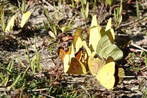
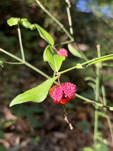
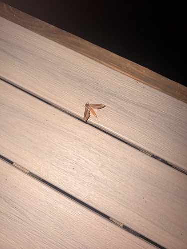

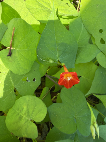
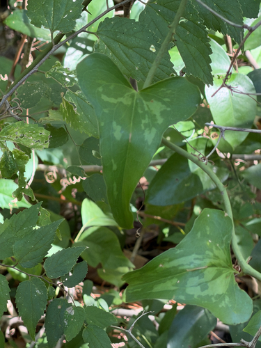
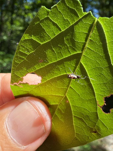
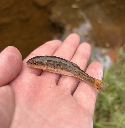
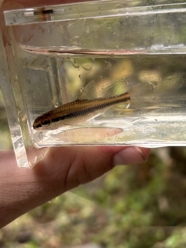
Research-grade observations from iNaturalist (within ~15 mi).
Nearest stream gauge
Live readings from USGS NWIS · measured 2026-09-27 15:45 UTC.
Events
Gallery
Sources
- • Wikipedia
- • US Census Bureau (ACS 5-year estimates)
- • NOAA National Weather Service
- • Wikidata
- • USGS Earthquake Catalog (global feed)
- • USGS NWIS (water data)
- • NCES via Urban Institute Education Data Portal
- • GBIF (Global Biodiversity Information Facility)
- • iNaturalist
- • CDC PLACES
- • Open-Meteo / sunrise-sunset.org
- • Wikipedia Pageviews API
- • Open Library
- • NASA EONET