Browse / United States / North Carolina / Princeville
Princeville
North Carolinatown

Princeville
Total population
1,619
Median home value
$106,000
Bachelor's+
Median income
$46,406
Founded
1865
Demographic figures from US Census Bureau · ACS 5-year estimates. Overview below cites Wikipedia and may reference a different year.
City facts
Facts from Wikidata (CC0).
Overview
Princeville is a town in Edgecombe County, North Carolina, United States established by freed slaves after the Civil War. It was established in 1865 and known as Freedom Hill. It was incorporated in 1885 as Princeville, the first independently governed African American community chartered in the United States.
Read more on WikipediaHistory & geography
History
As the American Civil War reached its conclusion, formerly enslaved African Americans sought refuge at a temporary Union encampment south of Tarboro, North Carolina along the Tar River. With the assistance of the Freedmen's Bureau, these inhabitants developed their own makeshift settlement at the site and chose the name Freedom Hill in recognition of a small raised area where a Union soldier first announced the Emancipation Proclamation. The land on which they stayed was owned by two white planters, John Lloyd and Lafayette Dancy. There is no evidence that the two ever attempted to remove the freedmen from their properties, probably owing to the initial presence of federal troops and the poor quality of the land, which frequently flooded. The community suffered heavily from poverty during its early years, receiving limited federal aid until the Freedmen's Bureau withdrew from North Carolina in 1869. During the Reconstruction era, inheritors of Lloyd's parcel sold their property to planter Henry W. Shaw. Shaw began selling plots to the freedmen for low prices, though some residents continued to live as squatters. Black holdings grew near the Tar River bridge and more homes were built. Unlike most freedmen's towns in the Southern United States and in spite of its location in an agricultural region, Freedom Hill developed as a community with a workforce dominated by nonagricultural labor. The 1880 U.S. census recorded 379 inhabitants of whom only 12 were farmers and 43 were farmhands, with the remainder working in various trades including day laboring, laundering, seamstressing, carpentry, and blacksmithing. By that point community had also several white residents, most of whom were sharecroppers. Little is known about the white population of the town, though evidence…
Geography
According to the United States Census Bureau, the town has a total area of , of which is land and , or 0.69%, is water.
Excerpted from the corresponding Wikipedia article (CC BY-SA).
Demographics & economy
Race & ethnicity
Source: US Census Bureau — American Community Survey, 5-year estimates.
Geography
Coordinates & boundaries from the US Census TIGER/Line shapefiles.
Climate
Air quality
Industrial & pollution facilities
Natural hazard risk
Health (adults)
Walkability
Amenities nearby
Wildlife & biodiversity
Schools
Earthquake history
Photos
Sights & places nearby
Notable people from here


People born within ~10 km, from Wikidata (CC0). Click any name for their Wikipedia article.
Nearby places in North Carolina
Geography & sun
Elevation, sunrise/sunset and daylight from Open-Meteo. Solar climatology from NASA POWER.
Nearby airports
Public attention
Pageview totals from the Wikimedia Pageviews API.
Books about this place
Recent natural events nearby
Ground air-quality sensors
Recently spotted species


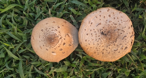
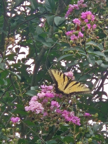
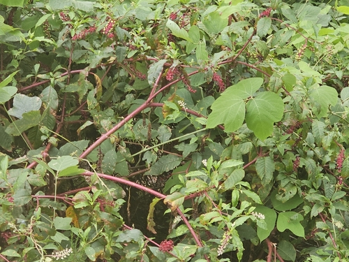
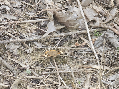
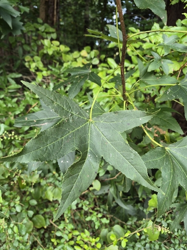
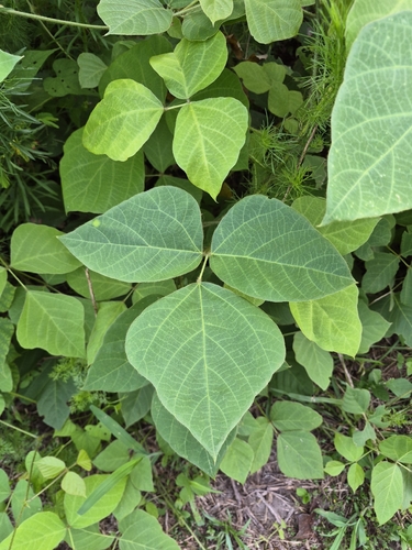
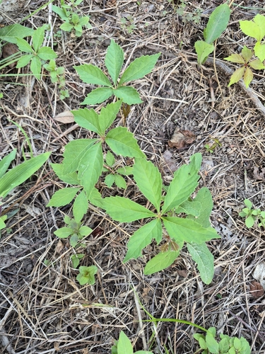
Research-grade observations from iNaturalist (within ~15 mi).
Nearest stream gauge
Events
Gallery
Sources
- • Wikipedia
- • US Census Bureau (ACS 5-year estimates)
- • Wikidata
- • iNaturalist
- • Open-Meteo / sunrise-sunset.org
- • Wikipedia Pageviews API