Browse / United States / North Carolina / Raleigh
Raleigh
North Carolinacity

Raleigh
Total population
499,637
Median home value
$450,300
Bachelor's+
Median income
$85,060
Founded
1770
Air quality index
Demographic figures from US Census Bureau · ACS 5-year estimates. Overview below cites Wikipedia and may reference a different year.
City facts
Sister cities
Facts from Wikidata (CC0).
Overview
Raleigh is the capital city of the U.S. state of North Carolina. It is the second-most populous city in the state, tenth most populous city in the Southeast, the largest city in the Research Triangle area, and the 39th-most populous city in the U.S. Known as the "City of Oaks" for its oak-lined streets, Raleigh covers 148.54 square miles (384.7 km2) and had a population of 467,665 at the 2020 census. It is the county seat of Wake County and is named after Sir Walter Raleigh, who founded the lost Roanoke Colony.
Read more on WikipediaHistory & geography
History
Bath, the oldest town in North Carolina, was the first nominal capital of the colony from 1705 until 1722, when Edenton took over the role. The colony had no permanent institutions of government until the new capital, New Bern, was established in 1743. In December 1770, Joel Lane successfully petitioned the North Carolina General Assembly to create a new county. On January 5, 1771, the bill creating Wake County was passed in the General Assembly. The county was formed from portions of Cumberland, Orange, and Johnston counties, and was named for Margaret Wake Tryon, the wife of Governor William Tryon. The first county seat was Bloomsbury. New Bern, a port town on the Neuse River from the Atlantic Ocean, was the largest city and the capital of North Carolina during the American Revolution. When the British Army laid siege to the city, that site could no longer be used as the capital. From 1789 to 1794, when Raleigh was being built, the state capital was Fayetteville. Raleigh was chosen as the site of the new capital in 1788, as its central location protected it from attacks from the coast. It was officially established in 1792 as both county seat and state capital. The city was incorporated on December 31, 1792, and a charter granted January 21, 1795. The city was named for Sir Walter Raleigh, sponsor of Roanoke, the "lost colony" on Roanoke Island. No known city or town existed previously on the chosen city site. Raleigh is one of the few cities in the United States that was planned and built specifically to serve as a state capital. Its original boundaries were formed by the downtown streets of North, East, West and South. The plan, a grid with two main axes meeting at a central square and an additional square in each corner, was based on Thomas Holme's 1682 plan…
Geography
According to the United States Census Bureau, the city has a total area of , of which is land and (0.72%) is water. northeast of Fayetteville; northwest of Wilmington; southwest of Richmond, Virginia; and northeast of Charlotte. A small portion of Raleigh is located in Durham County, North Carolina. Raleigh is divided into several major geographic areas, each of which use a Raleigh address and a ZIP code that begins with the digits 276. PNC Plaza, formerly known as RBC Plaza, is the largest and tallest skyscraper in the city of Raleigh. The tower rises to a height of , with a floor count of 34. One common division of Raleigh is to differentiate the central part of the city, which lies inside of the circumferential highway known as the Raleigh Beltline (I-440 and I-40) from areas outside of the Beltline. The area inside of the beltline includes the entirety of the central business district known as Downtown Raleigh, as well as several more residential areas surrounding it. The downtown area is home to historic buildings such as the Sir Walter Raleigh Hotel built in the early 20th century, the restored City Market, the Fayetteville Street downtown business district (which includes the PNC Plaza and Wells Fargo Capitol Center buildings), as well as the North Carolina Museum of History, North Carolina Museum of Natural Sciences, North Carolina State Capitol, William Peace University, the City of Raleigh Museum, Raleigh Convention Center, Shaw University, Campbell University School of Law, and St. Augustine's College. In the 2000s, an effort by the Downtown Raleigh Alliance was made to separate this area of the city into five smaller districts: Fayetteville Street, Moore Square, Glenwood South, Warehouse, and Capital District. The nearby Blount Street Historic…
Excerpted from the corresponding Wikipedia article (CC BY-SA).
Demographics & economy
Race & ethnicity
Source: US Census Bureau — American Community Survey, 5-year estimates.
Geography
Coordinates & boundaries from the US Census TIGER/Line shapefiles.
Climate
Current forecast
Forecast for Raleigh, NC from NOAA NWS API.
Air quality
Current readings from Open-Meteo Air Quality API (Copernicus CAMS European reanalysis).
Industrial & pollution facilities
Natural hazard risk
Health (adults)
Age-adjusted prevalence estimates from CDC PLACES (latest release).
Walkability
Amenities nearby
Wildlife & biodiversity
Most-observed species
- Northern CardinalCardinalis cardinalis (Linnaeus, 1758) · Aves69,289
- Carolina WrenThryothorus ludovicianus (Latham, 1790) · Aves62,578
- Carolina ChickadeePoecile carolinensis (Audubon, 1834) · Aves55,235
- Tufted TitmouseBaeolophus bicolor (Linnaeus, 1766) · Aves54,534
- Eastern BluebirdSialia sialis (Linnaeus, 1758) · Aves47,326
- Red-bellied WoodpeckerMelanerpes carolinus (Linnaeus, 1758) · Aves46,552
- American CrowCorvus brachyrhynchos C.L.Brehm, 1822 · Aves46,314
- House FinchHaemorhous mexicanus (P.L.Statius Müller, 1776) · Aves43,714
Citizen-science & research observations from the Global Biodiversity Information Facility (GBIF).
Schools
Largest nearby schools
- Leesville Road HighHigh · Raleigh · 2,613 students · 20.6:1 ratio
- Enloe HighHigh · Raleigh · 2,502 students · 17.5:1 ratio
- Millbrook HighHigh · Raleigh · 2,421 students · 19.1:1 ratio
- Cary HighHigh · Cary · 2,145 students · 17.6:1 ratio
- Needham Broughton HighHigh · Raleigh · 2,128 students · 17.6:1 ratio
- Wakefield HighHigh · Raleigh · 2,072 students · 19.2:1 ratio
- Athens Drive HighHigh · Raleigh · 2,062 students · 16.2:1 ratio
- Knightdale HighHigh · Knightdale · 1,702 students · 17:1 ratio
Public K–12 schools within ~10 mi from Urban Institute Education Data Portal (NCES Common Core of Data, 2022).
Earthquake history
Events from the USGS Earthquake Catalog (global) (FDSN Event Web Service).
Photos
Sights & places nearby
Notable people from here


People born within ~10 km, from Wikidata (CC0). Click any name for their Wikipedia article.
Nearby places in North Carolina
- Morrisville11.1 mi away · pop. 31,422
- Youngsville15.6 mi away · pop. 3,011
- Gorman17.2 mi away · pop. 1,591
- Archer Lodge18.4 mi away
- Creedmoor20.4 mi away · pop. 4,997
- Carolina Meadows21.2 mi away · pop. 555
- Franklinton21.3 mi away · pop. 2,645
- Governors Club22.8 mi away · pop. 1,787
- Wilson's Mills23.1 mi away · pop. 2,753
- Louisburg26.5 mi away · pop. 3,263
- Briar Chapel26.7 mi away
- Coats29.4 mi away
Geography & sun
Elevation, sunrise/sunset and daylight from Open-Meteo. Solar climatology from NASA POWER.
Nearby airports
Public attention
Pageview totals from the Wikimedia Pageviews API.
Books about Raleigh
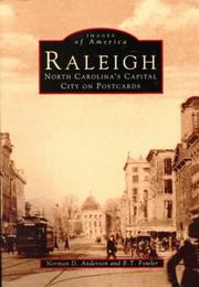


Search results from Open Library.
Recent natural events nearby
Ground air-quality sensors
Recently spotted species
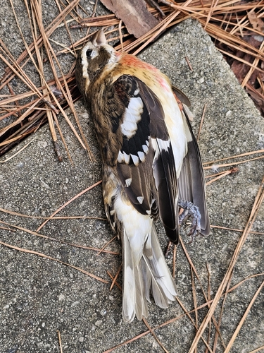
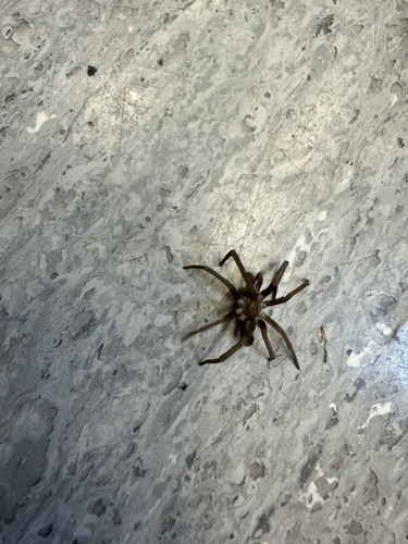
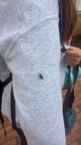
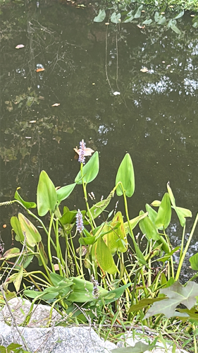
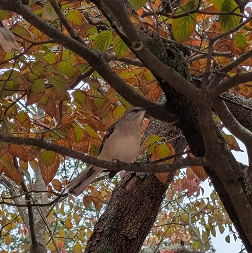
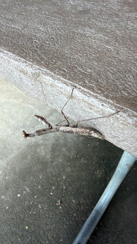
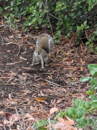
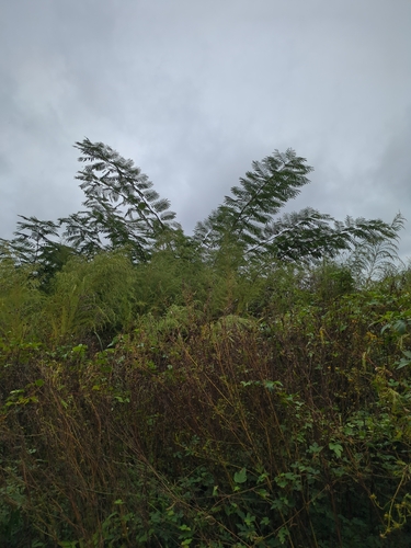
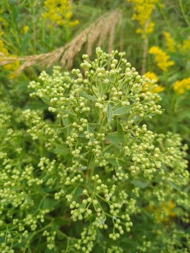
Research-grade observations from iNaturalist (within ~15 mi).
Nearest stream gauge
Events
Notable, recurring, and historical events associated with Raleigh, sourced from Wikidata.
- Jun 10, 2017
Source: Wikidata (CC0).
Gallery
Geotagged photos within ~6 miles of Raleigh, from Wikimedia Commons contributors.
.jpg) 0.3 mi
0.3 mi 0.4 mi
 0.4 mi
 0.4 mi
 0.4 mi
 0.5 mi
 0.5 mi
 0.5 mi
 0.5 mi
 0.5 mi
 0.6 mi
 0.6 mi
 0.6 mi
 0.6 mi
.jpg) 0.6 mi
0.6 mi 0.6 mi
 0.6 mi
 0.7 mi
.png) 0.9 mi
0.9 mi 1 mi
1 mi 1 mi
1 mi.jpg) 1.1 mi
1.1 mi 1.1 mi
 1.1 mi
Photos via Wikimedia Commons — see each image page for license & attribution.
Sources
- • Wikipedia
- • US Census Bureau (ACS 5-year estimates)
- • NOAA National Weather Service
- • Wikimedia Commons
- • Wikidata
- • Open-Meteo Air Quality (CAMS)
- • USGS Earthquake Catalog (global feed)
- • NCES via Urban Institute Education Data Portal
- • GBIF (Global Biodiversity Information Facility)
- • iNaturalist
- • CDC PLACES
- • Open-Meteo / sunrise-sunset.org
- • Wikipedia Pageviews API
- • Open Library