Browse / United States / North Carolina / Tyro
Tyro
North CarolinaCDP
Total population
3,833
Median home value
$191,800
Bachelor's+
Median income
$58,364
Demographic figures from US Census Bureau · ACS 5-year estimates. Overview below cites Wikipedia and may reference a different year.
City facts
Facts from Wikidata (CC0).
Overview
Tyro is an unincorporated community and census-designated place (CDP) located 7 miles (11 km) west of Lexington and 24 miles (39 km) south of Winston-Salem in Davidson County, North Carolina, United States. As of the 2020 census, the community had a population of 3,753.
Read more on WikipediaHistory & geography
Geography
Tyro is located in western Davidson County along North Carolina Highway 150. Neighboring communities include Reeds to the northeast on NC 150, Churchland to the southwest on NC 150, Linwood to the southeast, and the city of Lexington to the east. Located west of Tyro is Boone's Cave Park on the Yadkin River. Daniel Boone is rumored to have once hidden in the cave from a group of Native Americans who were avidly pursuing him. Tyro was named after Edward Tyro, a British explorer who was first granted land tenancy in the area by King Charles II. Tyro was said to be an avid farmer- and was able to spread notoriety in the area for fertile soils that were excellent for tobacco growth. While Tyro's contributions to tobacco farming were widespread in the area, the town did not officially receive the name of "Tyro" until the mid-18th century, when the Tyro Tavern was constructed, and, as a village began to form around the development, it was suggested to honor Tyro's farming legacy, as his last name was also coincidentally Latin for "new beginnings." According to the United States Census Bureau, the Tyro CDP has an area of , all land.
Excerpted from the corresponding Wikipedia article (CC BY-SA).
Demographics & economy
Race & ethnicity
Source: US Census Bureau — American Community Survey, 5-year estimates.
Geography
Coordinates & boundaries from the US Census TIGER/Line shapefiles.
Climate
Current forecast
Forecast for Tyro, NC from NOAA NWS API.
Air quality
Industrial & pollution facilities
Natural hazard risk
Health (adults)
Age-adjusted prevalence estimates from CDC PLACES (latest release).
Walkability
Amenities nearby
Wildlife & biodiversity
Most-observed species
- Northern CardinalCardinalis cardinalis (Linnaeus, 1758) · Aves3,224
- Carolina WrenThryothorus ludovicianus (Latham, 1790) · Aves2,798
- Carolina ChickadeePoecile carolinensis (Audubon, 1834) · Aves2,558
- Tufted TitmouseBaeolophus bicolor (Linnaeus, 1766) · Aves2,434
- American RobinTurdus migratorius Linnaeus, 1766 · Aves2,104
- Mourning DoveZenaida macroura (Linnaeus, 1758) · Aves2,060
- American CrowCorvus brachyrhynchos C.L.Brehm, 1822 · Aves2,012
- Northern MockingbirdMimus polyglottos (Linnaeus, 1758) · Aves1,991
Citizen-science & research observations from the Global Biodiversity Information Facility (GBIF).
Schools
Largest nearby schools
- Lexington Senior High SchoolHigh · Lexington · 928 students · 18.6:1 ratio
- Central Davidson HighHigh · Lexington · 900 students · 17.3:1 ratio
- West Davidson HighHigh · Lexington · 725 students · 16.9:1 ratio
- Central Davidson MiddleMiddle · Lexington · 684 students · 17.1:1 ratio
- Lexington Middle SchoolMiddle · Lexington · 647 students · 17:1 ratio
- Southwood ElementaryElementary · Lexington · 607 students · 15.6:1 ratio
- Welcome ElementaryElementary · Lexington · 593 students · 15.6:1 ratio
- Davidson Charter AcademyElementary · Lexington · 589 students · 16.4:1 ratio
Public K–12 schools within ~10 mi from Urban Institute Education Data Portal (NCES Common Core of Data, 2022).
Earthquake history
Most recent
- M 2.87 — 2020-08-113 km SSE of Sparta, North Carolina
- M 5.1 — 2020-08-094 km SE of Sparta, North Carolina
- M 2.62 — 2020-08-094 km SE of Sparta, North Carolina
- M 2.5 — 2019-03-268 km E of Archdale, North Carolina
- M 2.68 — 2018-06-102 km NE of Hays, North Carolina
- M 2.58 — 2015-11-1510 km S of Denton, North Carolina
Events from the USGS Earthquake Catalog (global) (FDSN Event Web Service).
Photos
Sights & places nearby
Notable people from here
People born within ~10 km, from Wikidata (CC0). Click any name for their Wikipedia article.
Geography & sun
Elevation, sunrise/sunset and daylight from Open-Meteo. Solar climatology from NASA POWER.
Nearby airports
Public attention
Pageview totals from the Wikimedia Pageviews API.
Books about Tyro

Search results from Open Library.
Recent natural events nearby
Ground air-quality sensors
Recently spotted species



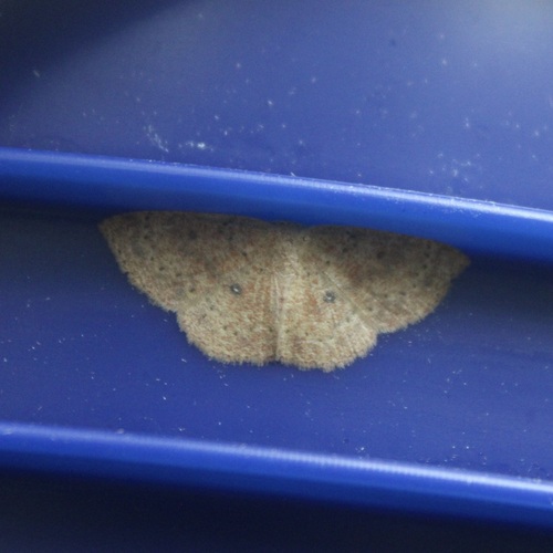





Research-grade observations from iNaturalist (within ~15 mi).
Nearest stream gauge
Events
Gallery
Sources
- • Wikipedia
- • US Census Bureau (ACS 5-year estimates)
- • NOAA National Weather Service
- • Wikidata
- • USGS Earthquake Catalog (global feed)
- • NCES via Urban Institute Education Data Portal
- • GBIF (Global Biodiversity Information Facility)
- • iNaturalist
- • CDC PLACES
- • Open-Meteo / sunrise-sunset.org
- • Wikipedia Pageviews API
- • Open Library