Browse / United States / North Carolina / Weldon
Weldon
North Carolinatown

Weldon
Total population
1,642
Median home value
$100,500
Bachelor's+
Median income
$48,350
Demographic figures from US Census Bureau · ACS 5-year estimates. Overview below cites Wikipedia and may reference a different year.
City facts
Facts from Wikidata (CC0).
Overview
Weldon is a town in Halifax County, North Carolina, United States. As of the 2020 census, Weldon had a population of 1,444. It is part of the Roanoke Rapids, North Carolina Micropolitan Statistical Area.
Read more on WikipediaHistory & geography
History
In 1752, Daniel Weldon purchased 1,273 acres of land on the Roanoke River. His plantation became known as Weldon's Landing. As it was just below the fall line, Weldon's Landing was the westernmost point of navigation along the Roanoke. The Roanoke Canal was built in 1823 to bypass the rapids and open up trade to Virginia. The aqueduct across Chockoyotte creek was built near Weldon's Landing, bringing an economic boom to the area. The canal is now dry, and is a hiking trail open to the public. Weldon was the first railroad hub in the American South. The Seaboard and Roanoke Railroad terminated in Weldon. In 1841, the Wilmington and Weldon Railroad was completed, also terminating in Weldon. At the time, it was the longest railroad in the world. This led to the incorporation of the town in 1843. The Petersburg and Roanoke Railroad in 1848 and the Raleigh and Gaston Railroad in 1853 both extended to terminate in Weldon. During the Civil War, both railroad bridges over the Roanoke were burned. Only the Seaboard and Roanoke rebuilt their bridge. Grace Episcopal Church and the Weldon Historic District are listed on the National Register of Historic Places.
Geography
Weldon is located in northern Halifax County and is bordered to the west by Roanoke Rapids, the county's largest community, and to the north by Northampton County, across the Roanoke River. U.S. Route 301 passes through the town, leading south to Rocky Mount and north to Emporia, Virginia. U.S. Route 158 runs east–west through the town, connecting the downtown area with Interstate 95 at the town's western border. US 158 leads east to Murfreesboro and west into the southern part of Roanoke Rapids. Interstate 95 leads north to Emporia and south to Rocky Mount, providing a highway alternative to US 301. Located on the Roanoke River, Weldon calls itself the "Rockfish Capital of the World" due to abundant fishing during the May spawning season. According to the United States Census Bureau, the town has a total area of , all land.
Excerpted from the corresponding Wikipedia article (CC BY-SA).
Demographics & economy
Race & ethnicity
Source: US Census Bureau — American Community Survey, 5-year estimates.
Geography
Coordinates & boundaries from the US Census TIGER/Line shapefiles.
Climate
Current forecast
Forecast for Weldon, NC from NOAA NWS API.
Air quality
Industrial & pollution facilities
Natural hazard risk
Health (adults)
Age-adjusted prevalence estimates from CDC PLACES (latest release).
Walkability
Amenities nearby
Wildlife & biodiversity
Most-observed species
- Turkey VultureCathartes aura (Linnaeus, 1758) · Aves790
- American CrowCorvus brachyrhynchos C.L.Brehm, 1822 · Aves755
- Carolina WrenThryothorus ludovicianus (Latham, 1790) · Aves595
- Northern CardinalCardinalis cardinalis (Linnaeus, 1758) · Aves551
- Mourning DoveZenaida macroura (Linnaeus, 1758) · Aves507
- Northern MockingbirdMimus polyglottos (Linnaeus, 1758) · Aves485
- American RobinTurdus migratorius Linnaeus, 1766 · Aves425
- Eastern BluebirdSialia sialis (Linnaeus, 1758) · Aves391
Citizen-science & research observations from the Global Biodiversity Information Facility (GBIF).
Schools
Largest nearby schools
- Roanoke Rapids High SchoolHigh · Roanoke Rapids · 783 students · 17:1 ratio
- Manning Elementary SchoolElementary · Roanoke Rapids · 647 students · 16.2:1 ratio
- Chaloner Middle SchoolMiddle · Roanoke Rapids · 616 students · 16.6:1 ratio
- Belmont Elementary SchoolElementary · Roanoke Rapids · 595 students · 14.5:1 ratio
- KIPP Halifax College PreparatoryElementary · Halifax · 591 students · 19.1:1 ratio
- William R Davie Middle S.T.E.M. AcademyMiddle · Roanoke Rapids · 277 students · 17.3:1 ratio
- Everetts Elementary S.T.E.M. AcademyElementary · Roanoke Rapids · 245 students · 22.3:1 ratio
- Weldon Elementary Global AcademyElementary · Weldon · 244 students · 13.6:1 ratio
Public K–12 schools within ~10 mi from Urban Institute Education Data Portal (NCES Common Core of Data, 2022).
Earthquake history
Photos
Sights & places nearby
Notable people from here


People born within ~10 km, from Wikidata (CC0). Click any name for their Wikipedia article.
Nearby places in North Carolina
- South Weldon0.9 mi away · pop. 500
- South Rosemary5.9 mi away · pop. 2,475
- Littleton16.6 mi away · pop. 549
- Enfield17.2 mi away · pop. 2,153
- Lasker17.8 mi away · pop. 152
- Milwaukee21.3 mi away · pop. 139
- Scotland Neck22.9 mi away · pop. 2,006
- Leggett30.1 mi away
- Centerville32.3 mi away · pop. 202
- Speed32.8 mi away · pop. 64
- Castalia34.2 mi away · pop. 247
- Nashville36.8 mi away · pop. 5,729
Geography & sun
Elevation, sunrise/sunset and daylight from Open-Meteo. Solar climatology from NASA POWER.
Nearby airports
Public attention
Pageview totals from the Wikimedia Pageviews API.
Books about Weldon




Search results from Open Library.
Recent natural events nearby
Ground air-quality sensors
Recently spotted species
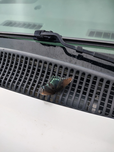
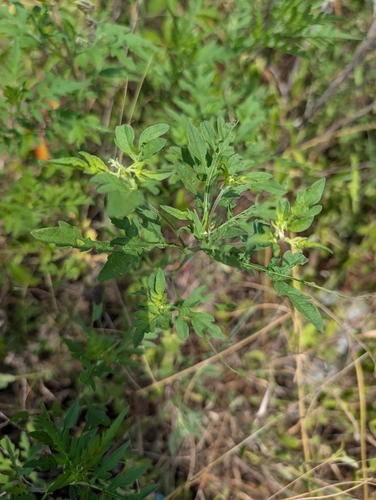
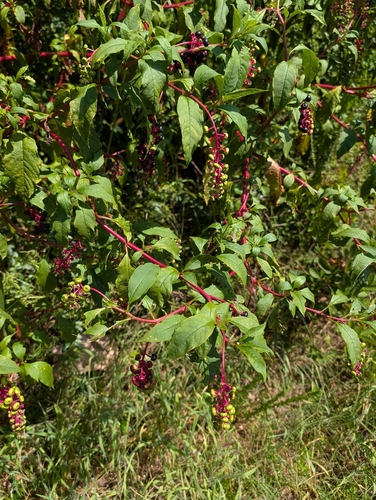
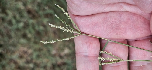
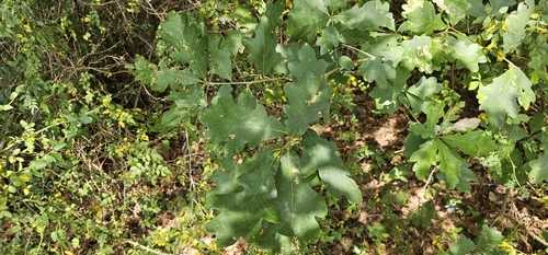
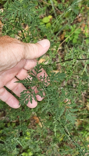
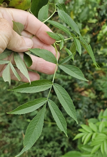
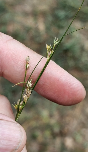
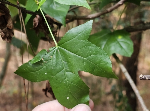
Research-grade observations from iNaturalist (within ~15 mi).
Nearest stream gauge
Events
Gallery
Sources
- • Wikipedia
- • US Census Bureau (ACS 5-year estimates)
- • NOAA National Weather Service
- • Wikidata
- • NCES via Urban Institute Education Data Portal
- • GBIF (Global Biodiversity Information Facility)
- • iNaturalist
- • CDC PLACES
- • Open-Meteo / sunrise-sunset.org
- • Wikipedia Pageviews API
- • Open Library