Browse / United States / North Carolina / Wrightsville Beach
Wrightsville Beach
North Carolinatown

Wrightsville Beach
Total population
2,665
Median home value
$1,168,700
Bachelor's+
Median income
$151,563
Founded
1853
Demographic figures from US Census Bureau · ACS 5-year estimates. Overview below cites Wikipedia and may reference a different year.
City facts
Facts from Wikidata (CC0).
Overview
Wrightsville Beach is a town in New Hanover County, North Carolina, United States. Wrightsville Beach is just east of Wilmington and is part of the Wilmington metropolitan area. The population was 2,473 at the 2020 census. The town consists of a 4.6-mile (7 km) long beach island, an interior island called Harbor Island. It served as a filming location of Dawson's Creek and The Summer I Turned Pretty. The movie Weekend at Bernie's was also partially filmed in Wrightsville Beach.
Read more on WikipediaHistory & geography
History
The first documented history of present-day Wrightsville Beach began when the Lords Proprietors granted land to Charles Harrison in 1725. The land grant was for located north of the present day Heide Trask Bridge that runs over the Intracoastal Waterway and was the first formal ownership of property near the beach. In the 1700 and 1800s the Hammocks (Harbor Island) were accessible by a footbridge from the mainland, but the beach itself was only accessible by boat. In 1853, the Carolina Yacht Club was founded by seven local men who loved to sail and race boats. It is currently known as the seventh oldest Yacht club in America. It was the first permanent structure on the beach and was only accessible by boat. This was followed by a few scattered cottages and commercial buildings began springing up on what was then known as Ocean View Beach. The town bears the name of Joshua G. Wright of Wilmington (1842–1890), who developed a local realtor company. A post office called Wrightsville was subsequently established in 1881. Accessibility to the beach improved in 1887 when Shell Road was completed, running from Wilmington to the edge of the current Intracoastal Waterway. The town was incorporated in 1899 as Wrightsville Beach, in honor of the Wright family of Wilmington and the community of Wrightsville on the mainland side of Harbor Island. By the late 1800s, ownership of the land had passed to the MacRae family of Wilmington. In 1887 passenger service began on the Wilmington Sea Coast Railroad from Wilmington, bringing people from downtown Wilmington to the edge of Bradley Creek. In 1889, the Ocean View Railroad built a track across Banks Channel to carry visitors to the oceanfront. Having already established a power generation company, in 1902 Hugh MacRae (March 30,…
Geography
The area's geography is composed of two islands separated by two different bodies of water. The Intercoastal Waterway separates the Hammocks from the mainland ("Hammocks" currently known as Harbor Island). The Hammocks are then separated from the beach by Banks Channel. Wrightsville Beach lies south of Figure Eight Island, separated by Mason's Inlet, and north of Masonboro Island, separated by Masonboro Inlet. According to the United States Census Bureau, the town has a total area of , of which 1.3 square miles (3.4 km2) is land and (44.40%) is water. Wrightsville Beach has used beach nourishment to replace eroded sand; storms including Hurricanes Bonnie and Floyd removed much of the sand placed during the 1998 nourishment project. The study found that about two-thirds of the 1998 nourishment fill disappeared from the above-water beach during its first year.
Excerpted from the corresponding Wikipedia article (CC BY-SA).
Demographics & economy
Race & ethnicity
Source: US Census Bureau — American Community Survey, 5-year estimates.
Geography
Coordinates & boundaries from the US Census TIGER/Line shapefiles.
Climate
Current forecast
Forecast for Wrightsville Beach, NC from NOAA NWS API.
Air quality
Industrial & pollution facilities
Natural hazard risk
Health (adults)
Age-adjusted prevalence estimates from CDC PLACES (latest release).
Walkability
Amenities nearby
Wildlife & biodiversity
Most-observed species
- Northern CardinalCardinalis cardinalis (Linnaeus, 1758) · Aves10,838
- Carolina WrenThryothorus ludovicianus (Latham, 1790) · Aves8,860
- Northern MockingbirdMimus polyglottos (Linnaeus, 1758) · Aves8,079
- Carolina ChickadeePoecile carolinensis (Audubon, 1834) · Aves7,653
- American CrowCorvus brachyrhynchos C.L.Brehm, 1822 · Aves7,619
- Laughing GullLeucophaeus atricilla (Linnaeus, 1758) · Aves6,861
- Mourning DoveZenaida macroura (Linnaeus, 1758) · Aves6,688
- Red-bellied WoodpeckerMelanerpes carolinus (Linnaeus, 1758) · Aves6,334
Citizen-science & research observations from the Global Biodiversity Information Facility (GBIF).
Schools
Largest nearby schools
- John T Hoggard HighHigh · Wilmington · 2,226 students · 19.9:1 ratio
- Emsley A Laney HighHigh · Wilmington · 2,220 students · 18.8:1 ratio
- New Hanover HighHigh · Wilmington · 1,466 students · 15:1 ratio
- Roland-Grise MiddleMiddle · Wilmington · 860 students · 16.9:1 ratio
- American Leadership Academy-CoastalOther · Wilmington · 777 students
- Williston MiddleMiddle · Wilmington · 683 students · 12.9:1 ratio
- Emma B Trask MiddleMiddle · Wilmington · 673 students · 14.3:1 ratio
- M C S Noble MiddleMiddle · Wilmington · 652 students · 16.7:1 ratio
Public K–12 schools within ~10 mi from Urban Institute Education Data Portal (NCES Common Core of Data, 2022).
Earthquake history
Events from the USGS Earthquake Catalog (global) (FDSN Event Web Service).
Photos
Sights & places nearby
Notable people from here


People born within ~10 km, from Wikidata (CC0). Click any name for their Wikipedia article.
Nearby places in North Carolina
Geography & sun
Elevation, sunrise/sunset and daylight from Open-Meteo. Solar climatology from NASA POWER.
Nearby airports
Public attention
Pageview totals from the Wikimedia Pageviews API.
Books about Wrightsville Beach


Search results from Open Library.
Recent natural events nearby
- Wildfire Main Trail, Chatham, GeorgiaWildfires · 2026-08-14 · 246 mi
Wildfires, storms and other events from NASA EONET (last 12 months, within 250 mi).
Ground air-quality sensors
Recently spotted species
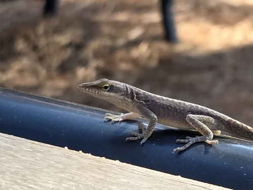
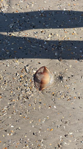
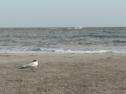
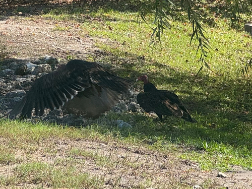
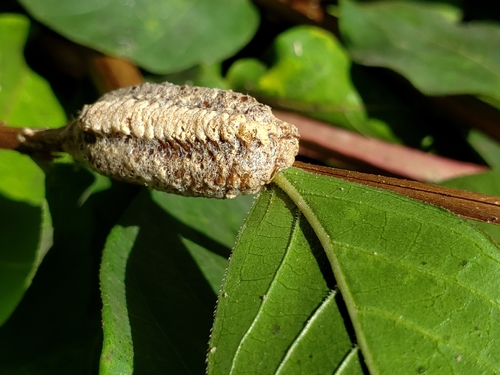
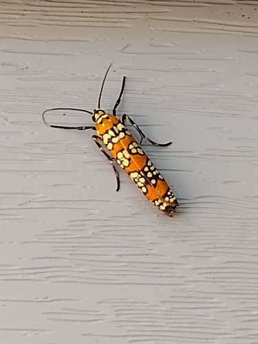
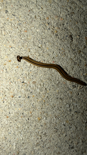
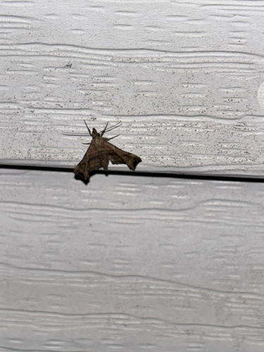
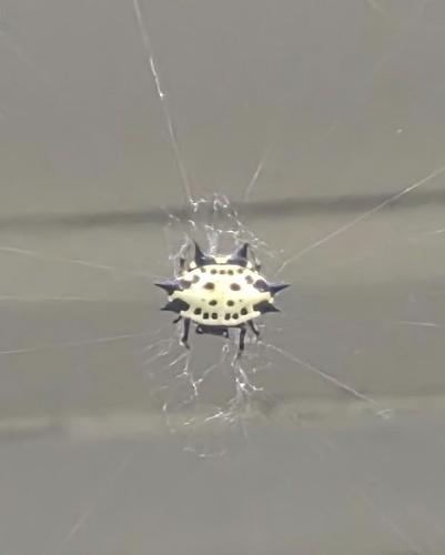
Research-grade observations from iNaturalist (within ~15 mi).
Nearest stream gauge
Events
Gallery
Sources
- • Wikipedia
- • US Census Bureau (ACS 5-year estimates)
- • NOAA National Weather Service
- • Wikidata
- • USGS Earthquake Catalog (global feed)
- • NCES via Urban Institute Education Data Portal
- • GBIF (Global Biodiversity Information Facility)
- • iNaturalist
- • CDC PLACES
- • Open-Meteo / sunrise-sunset.org
- • Wikipedia Pageviews API
- • Open Library
- • NASA EONET