Browse / United States / North Dakota / Antler
Antler
North Dakotacity

Antler
Total population
15
Median home value
$36,300
Bachelor's+
Median income
$45,417
Founded
1905
Demographic figures from US Census Bureau · ACS 5-year estimates. Overview below cites Wikipedia and may reference a different year.
- Dense Fog Advisory · ModerateDense Fog Advisory issued September 17 at 6:07AM CDT until September 17 at 11:00AM CDT by NWS Bismarck ND
Source: NOAA National Weather Service.
City facts
Facts from Wikidata (CC0).
Overview
Antler is a city in Bottineau County, North Dakota, United States. The population was 22 as of the 2020 census, and was estimated at 19 in 2025.
Read more on WikipediaHistory & geography
History
Antler was established as a rural post office base in 1898. The developed town moved to its present location in 1902 to be closer to the Great Northern Railway to the south. The town was formally platted and founded in 1905, and reached a population of 342 by the 1910 census. In 1911 Antler was the site of a system of tornadoes that killed ten people, making it the third deadliest tornado in North Dakota's recorded history. Antler's population declined to 101 by the 1980 Census, and just 47 as of the 2000 census. Antler High School closed in 1976. The Antler Grade School was set to close in 1981. Fearing the end of their town, Rick Jorgensen and Harley "Bud" Kissner thought of ways to bring in newcomers with school-age children to the town with the intent of keeping the school open.
Geography
According to the United States Census Bureau, the city has a total area of , all land. Antler is located in Antler Township along the 49th parallel, the international border with Canada. Both Antler and the surrounding township are named for nearby Antler Creek, whose branches resemble deer antlers when viewed on a map. Nearby to the northwest is the tripoint of North Dakota with the Canadian provinces of Saskatchewan and Manitoba.
Excerpted from the corresponding Wikipedia article (CC BY-SA).
Demographics & economy
Race & ethnicity
Source: US Census Bureau — American Community Survey, 5-year estimates.
Geography
Coordinates & boundaries from the US Census TIGER/Line shapefiles.
Climate
Current forecast
Forecast for Antler, ND from NOAA NWS API.
Air quality
Industrial & pollution facilities
Natural hazard risk
Health (adults)
Walkability
Amenities nearby
Wildlife & biodiversity
Most-observed species
- Red-winged BlackbirdAgelaius phoeniceus (Linnaeus, 1766) · Aves737
- Mourning DoveZenaida macroura (Linnaeus, 1758) · Aves619
- Eastern KingbirdTyrannus tyrannus (Linnaeus, 1758) · Aves564
- Western MeadowlarkSturnella neglecta Audubon, 1844 · Aves561
- Clay-colored SparrowSpizella pallida (Swainson, 1832) · Aves541
- Brown-headed CowbirdMolothrus ater (Boddaert, 1783) · Aves532
- American RobinTurdus migratorius Linnaeus, 1766 · Aves501
- Yellow WarblerSetophaga petechia (Linnaeus, 1766) · Aves467
Citizen-science & research observations from the Global Biodiversity Information Facility (GBIF).
Schools
Earthquake history
Events from the USGS Earthquake Catalog (global) (FDSN Event Web Service).
Photos
Sights & places nearby
Notable people from here
Nearby places in North Dakota
Geography & sun
Elevation, sunrise/sunset and daylight from Open-Meteo. Solar climatology from NASA POWER.
Nearby airports
Public attention
Pageview totals from the Wikimedia Pageviews API.
Books about this place
Recent natural events nearby
- Wildfire Ayers Pond, Prairie, MontanaWildfires · 2026-09-03 · 230 mi
- Incident Complex Rattlesnake Complex, Prairie, MontanaWildfires · 2026-09-04 · 236 mi
- Wildfire Snow, Custer, MontanaWildfires · 2026-09-02 · 250 mi
Wildfires, storms and other events from NASA EONET (last 12 months, within 250 mi).
Ground air-quality sensors
Recently spotted species

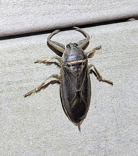
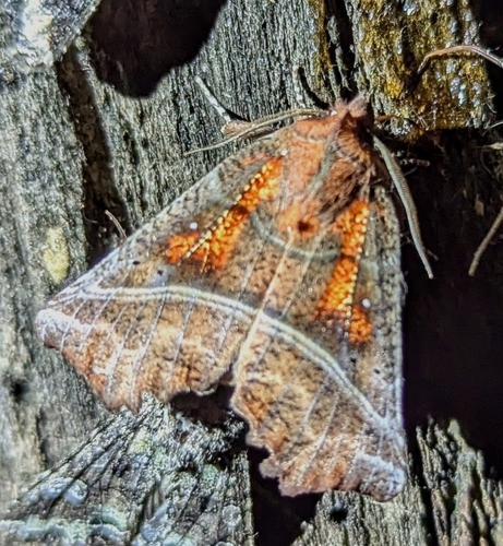
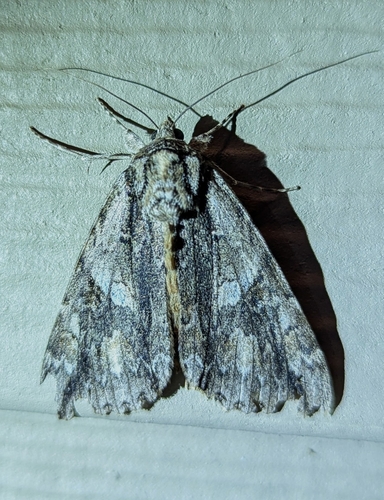
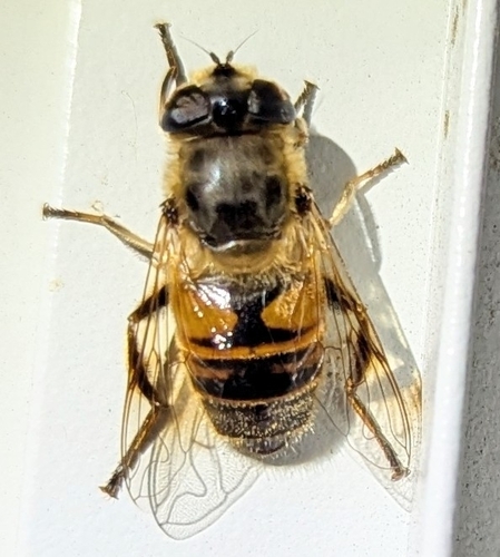
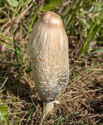
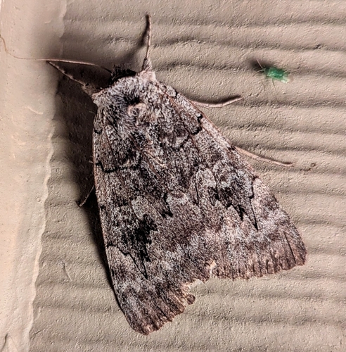
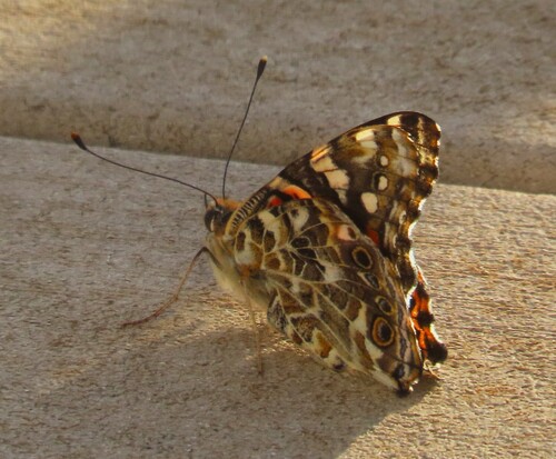
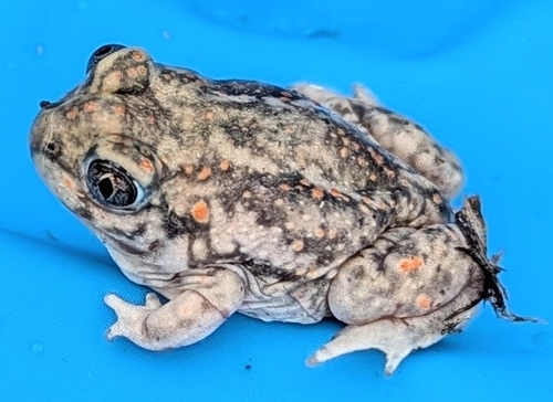
Research-grade observations from iNaturalist (within ~15 mi).
Nearest stream gauge
Live readings from USGS NWIS · measured 2026-10-06 16:00 UTC.
Events
Gallery
Sources
- • Wikipedia
- • US Census Bureau (ACS 5-year estimates)
- • NOAA National Weather Service
- • Wikidata
- • USGS Earthquake Catalog (global feed)
- • USGS NWIS (water data)
- • GBIF (Global Biodiversity Information Facility)
- • iNaturalist
- • Open-Meteo / sunrise-sunset.org
- • Wikipedia Pageviews API
- • NASA EONET