Browse / United States / North Dakota / Colfax
Colfax
North Dakotacity

Colfax
Total population
272
Median home value
$215,000
Bachelor's+
Median income
$104,375
Founded
1881
Air quality index
Demographic figures from US Census Bureau · ACS 5-year estimates. Overview below cites Wikipedia and may reference a different year.
City facts
Facts from Wikidata (CC0).
Overview
Colfax is a city in Richland County, North Dakota, United States. The population was 172 at the 2020 census, and was estimated to be 217 in 2025.
Read more on WikipediaHistory & geography
History
Richland County Township History: Colfax Taken from History of Richland County Book Page 142 Colfax is a small town located twenty-five miles to the north and west of Wahpeton in Richland County. The origin of Colfax dates back to July 2, 1864, when Congress granted lands to the Northern Pacific Railroad Company for the construction of a railroad and a telephone line from Lake Superior to Puget Sound. Schuyler Colfax, Vice-President of the United States under President U.S. Grant, purchased the west half of Section 29, Township 135, Range 49 and other lands containing 3,120 acres all in Colfax. Garborg and Nansen townships for a consideration of $15,600 (or $5.00 per acre) on August 10, 1878. Mr. Colfax platted the first addition to Colfax on June 17, 1881. Colfax townsite was surveyed by J.S. Stack the same year, the plat being laid out with the railroad as a base and therefore not following the points of the compass. Silas Maxwell, owner of land east of the railroad, sold this tract of land to Horace B. Crandall on January 15, 1881. On March 19, 1881, he filed the plat of the original townsite of Colfax. It was in 1882 that the name of the town was officially designated Colfax. Mr. Schuyler Colfax would periodically travel to the area to check his land holdings. Hattie A. and Israel M. Hay, husband and wife, platted Tyner's Addition to Colfax, which is also located on part of the W 1/2 of Section 29, Township 135, Range 49 on April 26, 1887. This is north of the original townsite. Colfax was nicknamed "The Fountain City" because of the many artesian wells in the village and vicinity, one of which was 130 feet deep and had a flow of 300 gallons a minute. Colfax was incorporated as a village in 1954.
Geography
According to the United States Census Bureau, the city has a total area of , all land.
Excerpted from the corresponding Wikipedia article (CC BY-SA).
Demographics & economy
Race & ethnicity
Source: US Census Bureau — American Community Survey, 5-year estimates.
Geography
Coordinates & boundaries from the US Census TIGER/Line shapefiles.
Climate
Current forecast
Forecast for Colfax, ND from NOAA NWS API.
Air quality
Current readings from Open-Meteo Air Quality API (Copernicus CAMS European reanalysis).
Industrial & pollution facilities
Natural hazard risk
Health (adults)
Age-adjusted prevalence estimates from CDC PLACES (latest release).
Walkability
Amenities nearby
Wildlife & biodiversity
Most-observed species
- Red-winged BlackbirdAgelaius phoeniceus (Linnaeus, 1766) · Aves86
- American RobinTurdus migratorius Linnaeus, 1766 · Aves73
- KilldeerCharadrius vociferus Linnaeus, 1758 · Aves60
- Common GrackleQuiscalus quiscula (Linnaeus, 1758) · Aves59
- Mourning DoveZenaida macroura (Linnaeus, 1758) · Aves57
- Western MeadowlarkSturnella neglecta Audubon, 1844 · Aves56
- Ring-necked PheasantPhasianus colchicus Linnaeus, 1758 · Aves53
- European StarlingSturnus vulgaris Linnaeus, 1758 · Aves46
Citizen-science & research observations from the Global Biodiversity Information Facility (GBIF).
Schools
Largest nearby schools
- RICHLAND ELEMENTARY SCHOOLElementary · Abercrombie · 173 students · 12.4:1 ratio
- RICHLAND JUNIOR-SENIOR HIGH SCHOOLHigh · Colfax · 113 students · 14.1:1 ratio
Public K–12 schools within ~10 mi from Urban Institute Education Data Portal (NCES Common Core of Data, 2022).
Earthquake history
Events from the USGS Earthquake Catalog (global) (FDSN Event Web Service).
Photos
Sights & places nearby
Notable people from here
Nearby places in North Dakota
- Walcott6.3 mi away
- Abercrombie7 mi away
- Christine7.9 mi away
- Dwight13.1 mi away · pop. 47
- Oxbow13.6 mi away
- Mooreton14 mi away · pop. 175
- Kindred14.1 mi away
- Barney15.4 mi away · pop. 42
- Wahpeton18.5 mi away · pop. 8,010
- Wyndmere18.9 mi away · pop. 509
- Davenport19.2 mi away · pop. 245
- Horace19.8 mi away · pop. 4,588
Geography & sun
Elevation, sunrise/sunset and daylight from Open-Meteo. Solar climatology from NASA POWER.
Nearby airports
Public attention
Pageview totals from the Wikimedia Pageviews API.
Books about this place
Recent natural events nearby
Ground air-quality sensors
Recently spotted species
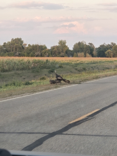
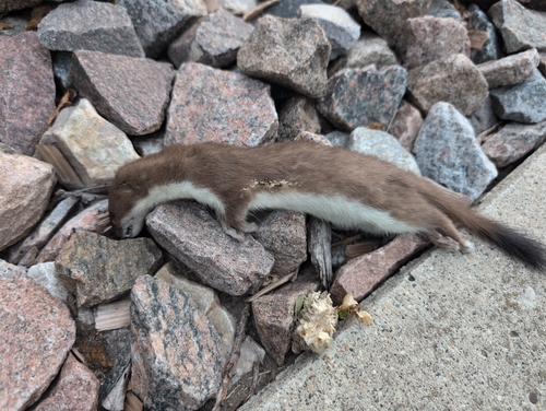
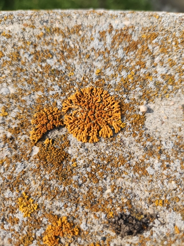
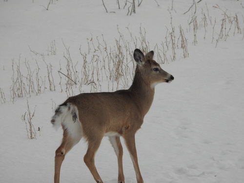
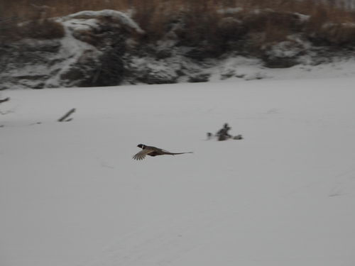
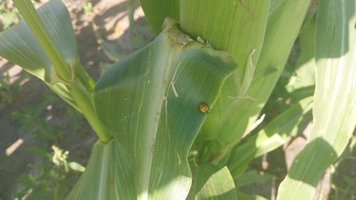
Research-grade observations from iNaturalist (within ~15 mi).
Nearest stream gauge
Events
Gallery
Sources
- • Wikipedia
- • US Census Bureau (ACS 5-year estimates)
- • NOAA National Weather Service
- • Wikidata
- • Open-Meteo Air Quality (CAMS)
- • USGS Earthquake Catalog (global feed)
- • NCES via Urban Institute Education Data Portal
- • GBIF (Global Biodiversity Information Facility)
- • iNaturalist
- • CDC PLACES
- • Open-Meteo / sunrise-sunset.org
- • Wikipedia Pageviews API