Browse / United States / North Dakota / Harmon
Harmon
North DakotaCDP

Harmon
Total population
198
Median home value
$444,400
Bachelor's+
Median income
$113,500
Demographic figures from US Census Bureau · ACS 5-year estimates. Overview below cites Wikipedia and may reference a different year.
- Dense Fog Advisory · ModerateDense Fog Advisory issued September 17 at 6:07AM CDT until September 17 at 11:00AM CDT by NWS Bismarck ND
Source: NOAA National Weather Service.
City facts
Facts from Wikidata (CC0).
Overview
Harmon is a census-designated place (CDP) and unincorporated community in Morton County, North Dakota, United States. The population was 259 as of the 2020 census, and was estimated at 199 in 2025. It is 9.5 miles (15.3 km) north of Mandan.
Read more on WikipediaHistory & geography
History
Harmon was platted and sited on July 23, 1913, by Willis T. McConnell and named for two bachelor brothers, George and H.H. Harmon. The town went into decline during the Depression in the 1930s and virtually disappeared. The original cemetery is still in use. On January 15, 1951, two Northern Pacific freight trains collided outside of town. The town has repopulated in the 20th century.
Geography
Harmon is east of North Dakota Highway 1806, north of Mandan. The original townsite is along the western edge of the Missouri River floodplain, with current development sited in the western part of the CDP, above the river bluffs. Harmon Lake Recreation Area is on the west side of Highway 1806, on a reservoir built on Otter Creek, a tributary of the Missouri. According to the United States Census Bureau, the CDP has a total area of , all land.
Excerpted from the corresponding Wikipedia article (CC BY-SA).
Demographics & economy
Race & ethnicity
Source: US Census Bureau — American Community Survey, 5-year estimates.
Geography
Coordinates & boundaries from the US Census TIGER/Line shapefiles.
Climate
Current forecast
Forecast for Harmon, ND from NOAA NWS API.
Air quality
Industrial & pollution facilities
Natural hazard risk
Health (adults)
Age-adjusted prevalence estimates from CDC PLACES (latest release).
Walkability
Amenities nearby
Wildlife & biodiversity
Most-observed species
- American RobinTurdus migratorius Linnaeus, 1766 · Aves1,463
- Black-capped ChickadeePoecile atricapillus (Linnaeus, 1766) · Aves1,272
- House SparrowPasser domesticus (Linnaeus, 1758) · Aves1,124
- House FinchHaemorhous mexicanus (P.L.Statius Müller, 1776) · Aves886
- Eurasian Collared-DoveStreptopelia decaocto (Frivaldszky, 1838) · Aves826
- Mourning DoveZenaida macroura (Linnaeus, 1758) · Aves813
- Common GrackleQuiscalus quiscula (Linnaeus, 1758) · Aves756
- European StarlingSturnus vulgaris Linnaeus, 1758 · Aves675
Citizen-science & research observations from the Global Biodiversity Information Facility (GBIF).
Schools
Earthquake history
Most recent
- M 2.6 — 2008-11-156 km ESE of Goodrich, North Dakota
Events from the USGS Earthquake Catalog (global) (FDSN Event Web Service).
Photos
Sights & places nearby
Notable people from here
Nearby places in North Dakota
- Mandan9.2 mi away · pop. 24,206
- Bismarck13.1 mi away · pop. 77,778
- Wilton16.3 mi away
- Lincoln17.7 mi away · pop. 4,381
- Apple Valley19.2 mi away
- Center19.5 mi away · pop. 562
- Menoken22.3 mi away
- New Salem23.1 mi away · pop. 780
- Washburn23.7 mi away
- Regan24.6 mi away · pop. 85
- Almont30.1 mi away · pop. 183
- Stanton32.1 mi away
Geography & sun
Elevation, sunrise/sunset and daylight from Open-Meteo. Solar climatology from NASA POWER.
Nearby airports
Public attention
Pageview totals from the Wikimedia Pageviews API.
Books about Harmon

Search results from Open Library.
Recent natural events nearby
- Wildfire Ayers Pond, Prairie, MontanaWildfires · 2026-09-03 · 184 mi
- Incident Complex Rattlesnake Complex, Prairie, MontanaWildfires · 2026-09-04 · 190 mi
- Wildfire Snow, Custer, MontanaWildfires · 2026-09-02 · 203 mi
- Wildfire Potato Creek, Jackson, South DakotaWildfires · 2026-08-01 · 240 mi
- Wildfire XU Hill, Oglala Lakota, South DakotaWildfires · 2026-08-11 · 241 mi
Wildfires, storms and other events from NASA EONET (last 12 months, within 250 mi).
Ground air-quality sensors
Recently spotted species
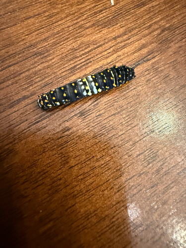
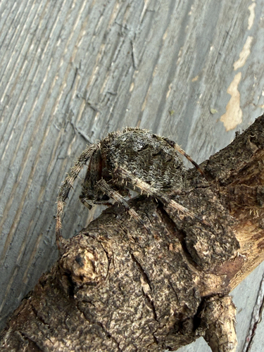
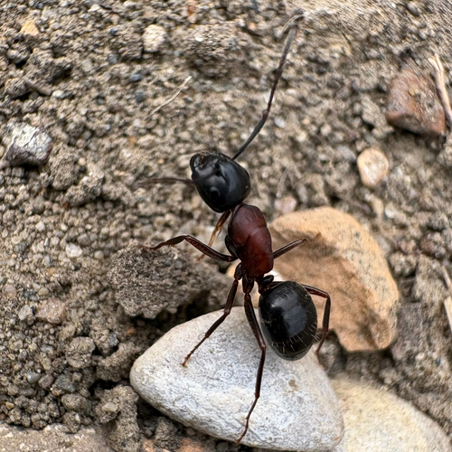
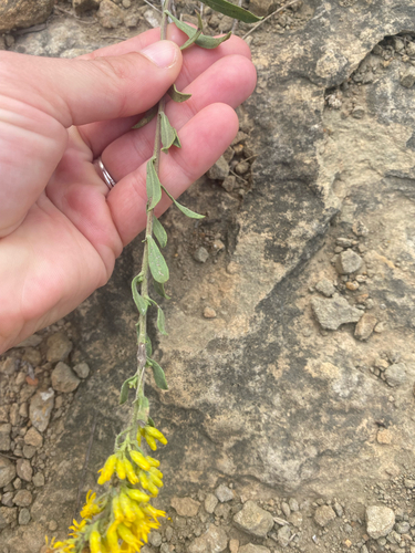

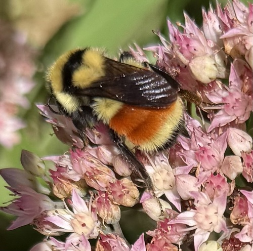
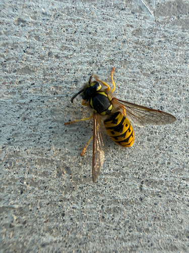
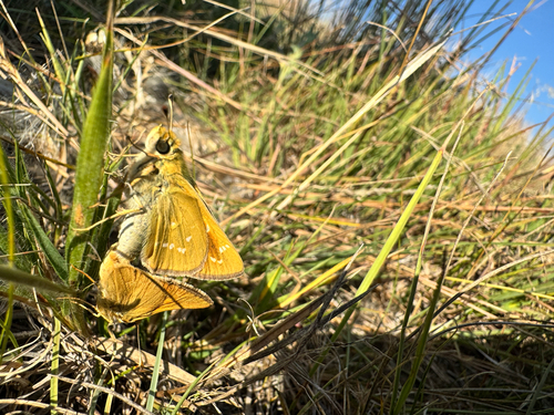
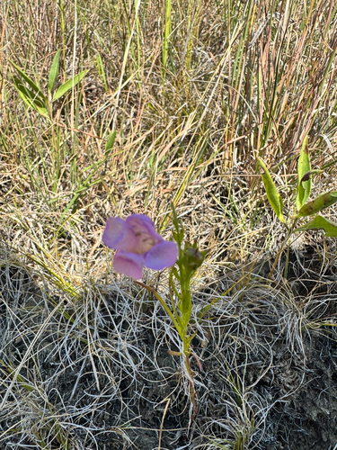
Research-grade observations from iNaturalist (within ~15 mi).
Nearest stream gauge
Live readings from USGS NWIS · measured 2026-10-07 16:00 UTC.
Events
Gallery
Sources
- • Wikipedia
- • US Census Bureau (ACS 5-year estimates)
- • NOAA National Weather Service
- • Wikidata
- • USGS Earthquake Catalog (global feed)
- • USGS NWIS (water data)
- • GBIF (Global Biodiversity Information Facility)
- • iNaturalist
- • CDC PLACES
- • Open-Meteo / sunrise-sunset.org
- • Wikipedia Pageviews API
- • Open Library
- • NASA EONET