Browse / United States / North Dakota / Leal
Leal
North Dakotacity

Leal
Total population
23
Median home value
$0
Bachelor's+
Median income
$70,500
Founded
1892
Demographic figures from US Census Bureau · ACS 5-year estimates. Overview below cites Wikipedia and may reference a different year.
City facts
Facts from Wikidata (CC0).
Overview
Leal is a city in Barnes County in the state of North Dakota. The population was 27 at the 2020 census. Leal was founded in 1892. The name comes from the Scots word for "faithful," which in the phrase laund o the leal means Heaven.
Read more on WikipediaHistory & geography
History
Scottish-English emigrants from Ontario, Canada, originally settled in this area in 1883. The townsite of Leal was platted in 1892, and a post office established December 28, 1892. Officials with the Soo Line Railroad established a station here in 1902. Leal incorporated as a village in 1917 from part of Edna Township. It became a city in 1967, after the North Dakota Legislature eliminated incorporation titles for villages and towns. As a result, all incorporated municipalities in North Dakota automatically adopted a city form of government.
Geography
Leal is located in Edna Township in the northeastern part of Barnes County. It is west of Fargo, and the nearest city is Rogers. Due to its location in the Great Plains and distance from both mountains and oceans, the city has an extreme continental climate, USDA Plant Hardiness Zone 4. The lowest temperature ever recorded was on December 23, 1983, and the highest temperature ever recorded was on July 30, 2006.
Excerpted from the corresponding Wikipedia article (CC BY-SA).
Demographics & economy
Race & ethnicity
Source: US Census Bureau — American Community Survey, 5-year estimates.
Geography
Coordinates & boundaries from the US Census TIGER/Line shapefiles.
Climate
Current forecast
Forecast for Leal, ND from NOAA NWS API.
Air quality
Industrial & pollution facilities
Natural hazard risk
Health (adults)
Walkability
Amenities nearby
Wildlife & biodiversity
Schools
Largest nearby schools
- BARNES COUNTY NORTH ELEMENTARY SCHOOLElementary · Wimbledon · 172 students · 9.1:1 ratio
- BARNES COUNTY NORTH HIGH SCHOOLHigh · Wimbledon · 76 students · 15.2:1 ratio
Public K–12 schools within ~10 mi from Urban Institute Education Data Portal (NCES Common Core of Data, 2022).
Earthquake history
Photos
Sights & places nearby
Notable people from here
People born within ~10 km, from Wikidata (CC0). Click any name for their Wikipedia article.
Nearby places in North Dakota
- Rogers5.7 mi away · pop. 26
- Dazey7.9 mi away
- Wimbledon8.1 mi away
- Sanborn12 mi away · pop. 103
- Spiritwood Lake12.8 mi away
- Courtenay14.5 mi away
- Spiritwood14.5 mi away
- Hannaford15.6 mi away · pop. 77
- Sibley18.2 mi away · pop. 20
- Valley City19.3 mi away · pop. 6,541
- Luverne20.5 mi away · pop. 52
- Sutton21.5 mi away · pop. 16
Geography & sun
Elevation, sunrise/sunset and daylight from Open-Meteo. Solar climatology from NASA POWER.
Nearby airports
Public attention
Pageview totals from the Wikimedia Pageviews API.
Books about this place
Recent natural events nearby
- Wildfire Twin Butte Ck, Corson, South DakotaWildfires · 2026-07-27 · 200 mi
Wildfires, storms and other events from NASA EONET (last 12 months, within 250 mi).
Ground air-quality sensors
Recently spotted species
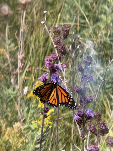
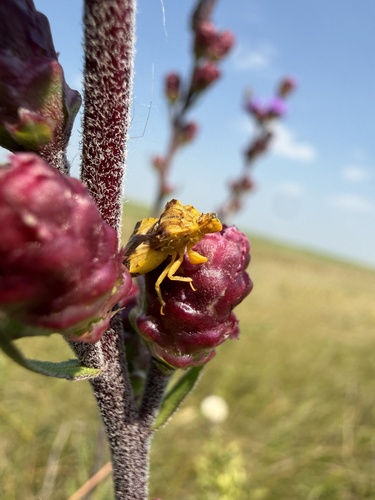
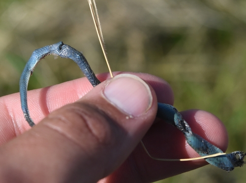
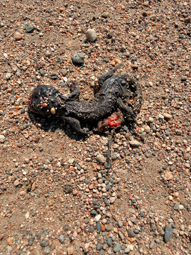
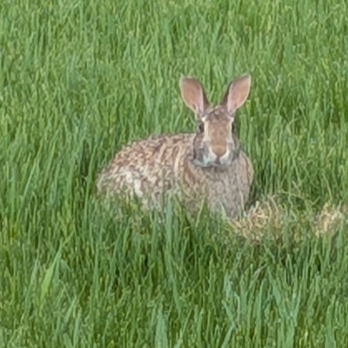
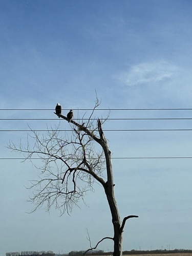



Research-grade observations from iNaturalist (within ~15 mi).
Nearest stream gauge
Events
Gallery
Sources
- • Wikipedia
- • US Census Bureau (ACS 5-year estimates)
- • NOAA National Weather Service
- • Wikidata
- • NCES via Urban Institute Education Data Portal
- • iNaturalist
- • Open-Elevation
- • Open-Meteo / sunrise-sunset.org
- • Wikipedia Pageviews API
- • NASA EONET