Browse / United States / Nebraska / Bellevue
Bellevue
Nebraskacity

Bellevue
Total population
64,510
Median home value
$247,000
Bachelor's+
Median income
$85,462
Founded
1822
Demographic figures from US Census Bureau · ACS 5-year estimates. Overview below cites Wikipedia and may reference a different year.
- Freeze Warning · SevereFreeze Warning issued October 16 at 10:01AM CDT until October 17 at 9:00AM CDT by NWS Omaha/Valley NE
Source: NOAA National Weather Service.
City facts
Facts from Wikidata (CC0).
Overview
Bellevue is a suburban city in Sarpy County, Nebraska, United States. It is part of the Omaha–Council Bluffs metropolitan area, and had a population of 64,176 as of the 2020 census, making it the 3rd most populous city in Nebraska, behind Omaha and Lincoln.
Read more on WikipediaHistory & geography
History
Established by European Americans in the 1830s, Bellevue was incorporated in 1855 and is the oldest continuously inhabited town in Nebraska. It has been credited by the Nebraska State Legislature as being the state's second-oldest incorporated settlement after Nebraska City; previously it served as the seat of government in Nebraska. On May 12, 1908, a tornado hit Bellevue, leading to 20 deaths and $50,000 of damages. Bellevue was originally founded as a trading post for the Missouri Fur Company by Joshua Pilcher, but there were financial problems, and, eventually, Lucien Fontanelle became the owner of the post, and the first permanent resident of Bellevue. Moses Merrill founded a mission, which was the first Christian mission in Nebraska, in Bellevue. Since it was the oldest city in the Nebraska Territory, the residents were optimistic that Bellevue would become the capital of it, and the new territorial governor, Francis Burt, had already moved there, but shortly after, he died. The next governor selected Omaha as the capital instead. In 1921, the Offutt Air Force Base, housing the United States Strategic Command, was built south of Bellevue. The planes that dropped the Hiroshima and Nagasaki atomic bombs were built there. The 2019 Midwestern U.S. floods destroyed about 200 homes from the swelling of the Missouri River.
Geography
Bellevue is located at an elevation of 1159 ft (353 m). According to the United States Census Bureau, the city has a total area of , of which is land and is water. It is bounded on the east by the Missouri River.
Excerpted from the corresponding Wikipedia article (CC BY-SA).
Demographics & economy
Race & ethnicity
Source: US Census Bureau — American Community Survey, 5-year estimates.
Geography
Coordinates & boundaries from the US Census TIGER/Line shapefiles.
Climate
Current forecast
Forecast for Bellevue, NE from NOAA NWS API.
Air quality
Industrial & pollution facilities
Natural hazard risk
Health (adults)
Age-adjusted prevalence estimates from CDC PLACES (latest release).
Walkability
Amenities nearby
Wildlife & biodiversity
Most-observed species
- American RobinTurdus migratorius Linnaeus, 1766 · Aves13,333
- Northern CardinalCardinalis cardinalis (Linnaeus, 1758) · Aves12,655
- House SparrowPasser domesticus (Linnaeus, 1758) · Aves10,622
- Blue JayCyanocitta cristata (Linnaeus, 1758) · Aves10,005
- Downy WoodpeckerDryobates pubescens (Linnaeus, 1766) · Aves9,067
- European StarlingSturnus vulgaris Linnaeus, 1758 · Aves8,715
- Red-bellied WoodpeckerMelanerpes carolinus (Linnaeus, 1758) · Aves8,036
- Mourning DoveZenaida macroura (Linnaeus, 1758) · Aves7,777
Citizen-science & research observations from the Global Biodiversity Information Facility (GBIF).
Schools
Largest nearby schools
- PAPILLION LA VISTA SOUTH HSHigh · PAPILLION · 1,965 students · 16.5:1 ratio
- PAPILLION LA VISTA SENIOR HIGHHigh · PAPILLION · 1,893 students · 16.5:1 ratio
- BRYAN HIGH SCHOOLHigh · OMAHA · 1,634 students · 17.2:1 ratio
- BELLEVUE WEST SR HIGH SCHOOLHigh · BELLEVUE · 1,536 students · 15.4:1 ratio
- BELLEVUE EAST SR HIGH SCHOOLHigh · BELLEVUE · 1,423 students · 13.8:1 ratio
- BRYAN MIDDLE SCHOOLMiddle · OMAHA · 866 students · 15.7:1 ratio
- LA VISTA MIDDLE SCHOOLMiddle · LA VISTA · 716 students · 14.6:1 ratio
- SPRING LAKE MAGNET CENTERElementary · BELLEVUE · 700 students · 14:1 ratio
Public K–12 schools within ~10 mi from Urban Institute Education Data Portal (NCES Common Core of Data, 2022).
Earthquake history
Most recent
- M 3.3 — 2010-11-184 km E of Octavia, Nebraska
- M 3.6 — 2009-12-172 km NW of Auburn, Nebraska
- M 3.5 — 2004-07-166 km SSE of Riverton, Iowa
Events from the USGS Earthquake Catalog (global) (FDSN Event Web Service).
Photos
Sights & places nearby
Notable people from here


People born within ~10 km, from Wikidata (CC0). Click any name for their Wikipedia article.
Nearby places in Nebraska
- La Platte6.4 mi away
- La Vista8.7 mi away · pop. 16,563
- Papillion9.2 mi away · pop. 25,244
- Plattsmouth10.9 mi away · pop. 6,731
- Chalco12.1 mi away · pop. 10,595
- Cedar Creek13.1 mi away · pop. 427
- Louisville17.7 mi away · pop. 1,449
- Bennington19.5 mi away · pop. 2,366
- South Bend21.1 mi away · pop. 100
- Manley21.8 mi away · pop. 204
- Washington22.6 mi away · pop. 198
- Nehawka23.5 mi away · pop. 109
Geography & sun
Elevation, sunrise/sunset and daylight from Open-Meteo. Solar climatology from NASA POWER.
Nearby airports
Public attention
Pageview totals from the Wikimedia Pageviews API.
Books about Bellevue

Search results from Open Library.
Recent natural events nearby
Ground air-quality sensors
Recently spotted species
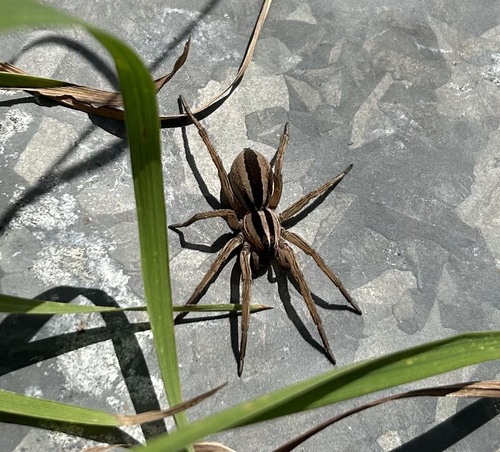
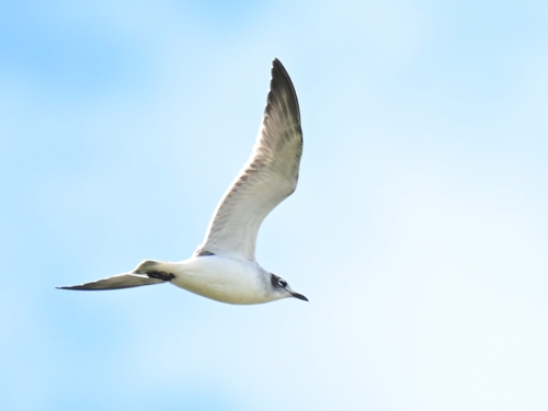
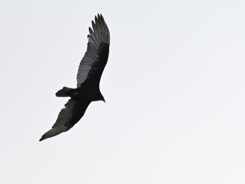
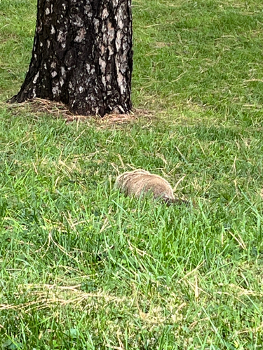

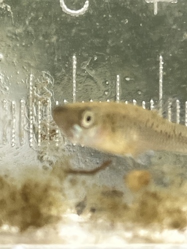
Research-grade observations from iNaturalist (within ~15 mi).
Nearest stream gauge
Events
Gallery
Sources
- • Wikipedia
- • US Census Bureau (ACS 5-year estimates)
- • NOAA National Weather Service
- • Wikidata
- • USGS Earthquake Catalog (global feed)
- • NCES via Urban Institute Education Data Portal
- • GBIF (Global Biodiversity Information Facility)
- • iNaturalist
- • CDC PLACES
- • Open-Meteo / sunrise-sunset.org
- • Wikipedia Pageviews API
- • Open Library