Browse / Niger / Niger / Niamey
Niamey
Nigercity

Niamey
Total population
1,026,848
Demographic figures from INS Niger. Overview below cites Wikipedia and may reference a different year.
City facts
Facts from Wikidata (CC0).
Overview
Niamey is the capital and largest city of Niger. It is in the western part of the country, surrounded by the Tillabéri Region. Niamey lies on the Niger River, primarily situated on the river's left bank. The capital of Niger since the colonial era, Niamey is an ethnically diverse city and the country's main economic centre.
Read more on WikipediaHistory & geography
History
The area of modern Niamey was of little importance before Niger's colonial era. As the Sahelian kingdoms fought for control over the Sahel, the Niamey area was a buffer zone that was not urbanised. Late-sixteenth-century residents of this area included the Zarma and other Songhai refugees from the Moroccan invasion of the Songhai Empire, Hausa-speaking Maouri hunters who migrated westward from the Dogondoutchi area, and the regionally dominant Fula people. These ethnic groups comprise the population of modern Niamey. The villages of and were founded on the left bank (east side) of the Niger River in the sixteenth century. The site that would become Niamey was situated between these villages, around the gully of . Various other villages sprouted here around the early nineteenth century; the Hausa village of , the Zarma village of , and the Songhai village of were on the left bank, while the Fula villages of , , and were on the right bank. Oral histories differ on the chronology of Niamey's early settlement and the etymology of its name. The Maouri believe that the city's Maouri founders were driven away from the nearby river island of by the Fula villagers of Bitinkodji; they say the city was built next to a landmark tree called {{NoteTag|Also written as By the time of the Scramble for Africa, when France laid claim to Niger, western Niger had been weakened by local conflicts and had no major political powers. This facilitated the French invasion of Niger, which began in 1891. The first European mentions of Niamey were by the 1897 mission of , then the 1899 Voulet–Chanoine Mission, which set fire to Niamey. A local account mentioned earlier contact with Europeans, identified as the expedition of . The first French post in Niamey was established in 1901 by , a…
Geography
Niamey is in the western part of Niger, surrounded by the Tillabéri Region. Located between the longitudes and and the latitudes and , it covers an area of , of which is urban, . It is located on the Niger River, mostly on the plateau of the left bank (east side), with a few developments on the alluvial plain of the right bank. The city's height above sea level mostly ranges from 190 m to 230 m on the left bank and from 180 m to 185 m on the right bank; the highest point, , reaches 250 m. The Niger is Niamey's only permanent river. (wadis) form temporarily, mostly on the left bank, and have become more common since the 1970s due to human activity. The river is fed by in the Inner Niger Delta, with the flow in the city mainly coming from three on the right bank: , , and Sirba. The plateau of Niamey pushes the river's flow to be straight. Niamey is downriver from the Sélingué Dam in Mali, which has regulated the river's water level and prevented the city from losing water during droughts. A series of sandy islands lies from Niamey upstream to Karma; the largest are Boubon, , and . As form alluvial fans, the river is prone to flooding. Erosion and sedimentary deposits cause high siltation of the river, preventing it from flowing during periods of dryness, which threatens agriculture in Niamey. Niamey is between the geological regions of Liptako on the west and the Iullemmeden Basin on the east. It sits atop plateaus of sand and laterite, which are extracted by the city's quarries. The city centre is built on bedrock formed by the West African Craton on the east bank, while the porous sediment of the Iullemmeden lies on both banks. Niamey's vegetation consists of tiger bush shrubland on the plateau and millet fields and savanna in the…
Excerpted from the corresponding Wikipedia article (CC BY-SA).
Geography
Coordinates & boundaries from the US Census TIGER/Line shapefiles.
Climate
Air quality
Walkability
Amenities nearby
Wildlife & biodiversity
Most-observed species
- Laughing DoveSpilopelia senegalensis (Linnaeus, 1766) · Aves65
- Red-billed FirefinchLagonosticta senegala (Linnaeus, 1766) · Aves48
- Western Plantain-eaterCrinifer piscator (Boddaert, 1783) · Aves44
- Abyssinian RollerCoracias abyssinicus Hermann, 1783 · Aves40
- African SilverbillEuodice cantans (Gmelin, 1789) · Aves39
- Pied CrowCorvus albus Statius Muller, 1776 · Aves35
- Black KiteMilvus migrans (Boddaert, 1783) · Aves33
- Cattle EgretBubulcus ibis (Linnaeus, 1758) · Aves31
Citizen-science & research observations from the Global Biodiversity Information Facility (GBIF).
Earthquake history
Events from the USGS Earthquake Catalog (global) (FDSN Event Web Service).
Photos
Sights & places nearby
Notable people from here
People born within ~10 km, from Wikidata (CC0). Click any name for their Wikipedia article.
Nearby places in Niger
- Riqab2767.7 mi away · pop. 567
- Annah2807.1 mi away · pop. 1,188
- Ahayin2808.1 mi away · pop. 1,496
- `Uqaqah2808.3 mi away · pop. 3,442
- Darin2820.1 mi away · pop. 542
- Hazarah2820.6 mi away
- Manwar2820.7 mi away · pop. 653
- Jum`ah2828.3 mi away · pop. 264
- Rawban2832.9 mi away · pop. 308
- Sharih2844.9 mi away · pop. 1,272
- Laqah2860.5 mi away · pop. 205
- Sumar3061.5 mi away · pop. 180
Geography & sun
Elevation, sunrise/sunset and daylight from Open-Meteo. Solar climatology from NASA POWER.
Nearby airports
Public attention
Pageview totals from the Wikimedia Pageviews API.
Books about Niamey



Search results from Open Library.
Recent natural events nearby
Ground air-quality sensors
Recently spotted species
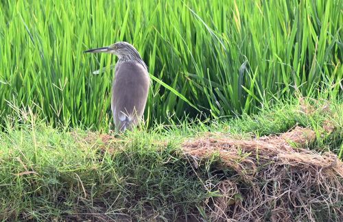
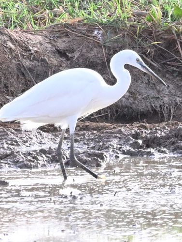
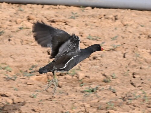
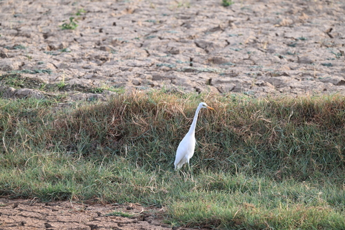
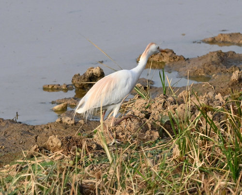
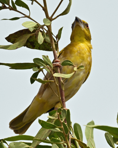
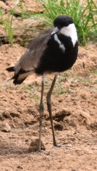
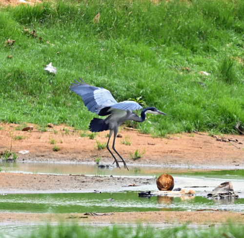
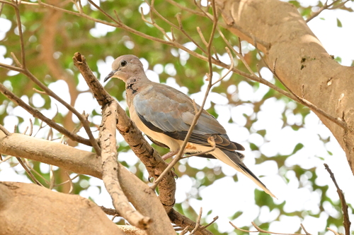
Research-grade observations from iNaturalist (within ~15 mi).
Events
Notable, recurring, and historical events associated with Niamey, sourced from Wikidata.
- Jan 1, 2014
Source: Wikidata (CC0).
Gallery
Geotagged photos within ~6 miles of Niamey, from Wikimedia Commons contributors.
 0 mi
0 mi 0 mi
0 mi 0 mi
0 mi 0 mi
0 mi 0 mi
0 mi 0 mi
0 mi 0.1 mi
 0.1 mi
 0.1 mi
 0.1 mi
 0.1 mi
 0.1 mi
 0.1 mi
 0.1 mi
 0.1 mi
 0.1 mi
 0.1 mi
 0.1 mi
 0.1 mi
 0.1 mi
 0.1 mi
 0.1 mi
 0.1 mi
 0.1 mi
Photos via Wikimedia Commons — see each image page for license & attribution.
Sources
- • Wikipedia
- • Wikimedia Commons
- • Wikidata
- • USGS Earthquake Catalog (global feed)
- • GBIF (Global Biodiversity Information Facility)
- • iNaturalist
- • Open-Meteo / sunrise-sunset.org
- • Wikipedia Pageviews API
- • Open Library