Browse / United States / Nebraska / Oconto
Oconto
Nebraskavillage

Oconto
Total population
167
Median home value
$60,000
Bachelor's+
Median income
$55,625
Founded
1887
Demographic figures from US Census Bureau · ACS 5-year estimates. Overview below cites Wikipedia and may reference a different year.
City facts
Facts from Wikidata (CC0).
Overview
Oconto is a village in Custer County, Nebraska, United States. As of the 2020 census, Oconto had a population of 138.
Read more on WikipediaHistory & geography
History
The community was founded in 1887 as Olax, but the original name conflicted with another Nebraska location, so it was renamed to Oconto. The exact source of the name has been debated, some hold Oconto was the name of a pioneer settler, while others believe the town was named after Oconto, Wisconsin. Oconto was incorporated in 1906. On October 31, 2000, a tornado hit Oconto. It destroyed the community center and several downtown businesses, and damaged 40 homes. A Halloween party was being held at the community center when advanced warning allowed them to seek shelter in the basement, all 19 children and 4 adults came out without a scratch. In 2003, a new community center was constructed using funds from federal, state, county, local sources. On August 21, 2017, Oconto was a viewing location under the path of a total solar eclipse. Hundreds of people gathered in Oconto to view the eclipse, including tourists from other states.
Geography
According to the United States Census Bureau, the village has a total area of , all land. Oconto is located at the junction of Nebraska state highways 21 and 40. It is south of the Pressey Wildlife Management area.
Excerpted from the corresponding Wikipedia article (CC BY-SA).
Demographics & economy
Race & ethnicity
Source: US Census Bureau — American Community Survey, 5-year estimates.
Geography
Coordinates & boundaries from the US Census TIGER/Line shapefiles.
Climate
Current forecast
Forecast for Oconto, NE from NOAA NWS API.
Air quality
Industrial & pollution facilities
Natural hazard risk
Health (adults)
Walkability
Amenities nearby
Wildlife & biodiversity
Schools
Earthquake history
Photos
Sights & places nearby
Notable people from here
Nearby places in Nebraska
- Eddyville11.5 mi away · pop. 125
- Callaway13.2 mi away · pop. 562
- Lexington25.2 mi away · pop. 10,862
- Gothenburg25.3 mi away · pop. 3,452
- Westerville26.4 mi away · pop. 19
- Anselmo33.4 mi away · pop. 93
- Eustis35.8 mi away · pop. 431
- Farnam38.3 mi away · pop. 257
- Sargent40 mi away · pop. 534
- Odessa40.5 mi away · pop. 138
- Poole43 mi away
- Glenwood44.4 mi away · pop. 653
Geography & sun
Elevation, sunrise/sunset and daylight from Open-Meteo. Solar climatology from NASA POWER.
Nearby airports
Public attention
Pageview totals from the Wikimedia Pageviews API.
Books about this place
Recent natural events nearby
- Wildfire Needles, Oglala Lakota, South DakotaWildfires · 2026-09-04 · 198 mi
- Wildfire Rancher fire, Oglala Lakota, South DakotaWildfires · 2026-08-11 · 200 mi
- Wildfire Potato Creek, Jackson, South DakotaWildfires · 2026-08-01 · 205 mi
- Wildfire Potato Creek, Jackson, South DakotaWildfires · 2026-07-27 · 205 mi
- Wildfire XU Hill, Oglala Lakota, South DakotaWildfires · 2026-08-11 · 219 mi
Wildfires, storms and other events from NASA EONET (last 12 months, within 250 mi).
Ground air-quality sensors
Recently spotted species
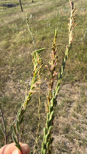
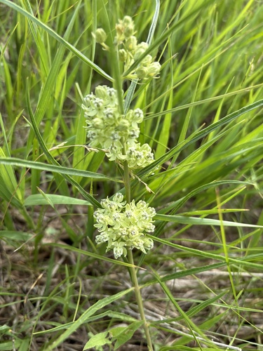
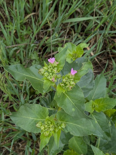
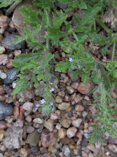
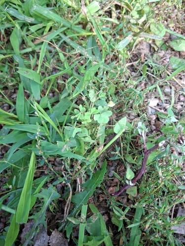
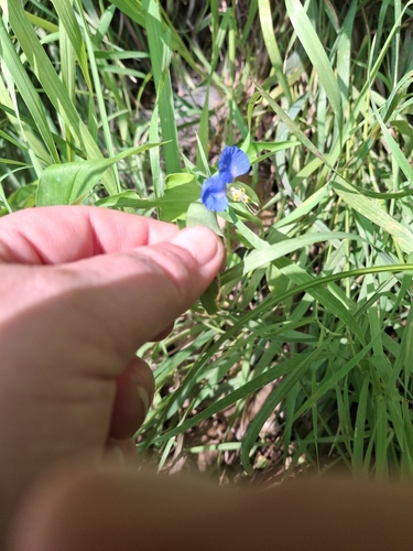

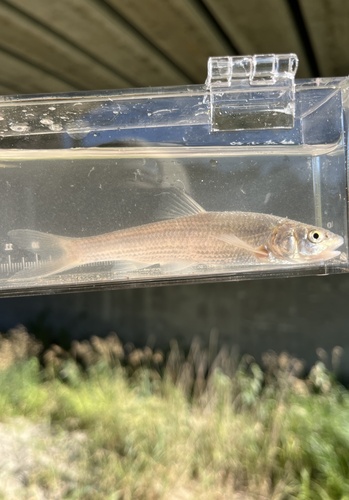
Research-grade observations from iNaturalist (within ~15 mi).
Nearest stream gauge
Events
Gallery
Sources
- • Wikipedia
- • US Census Bureau (ACS 5-year estimates)
- • NOAA National Weather Service
- • Wikidata
- • iNaturalist
- • Open-Elevation
- • Open-Meteo / sunrise-sunset.org
- • Wikipedia Pageviews API
- • NASA EONET