Browse / United States / Nebraska / Ogallala
Ogallala
Nebraskacity

Ogallala
Total population
4,777
Median home value
$155,800
Bachelor's+
Median income
$58,556
Founded
1868
Demographic figures from US Census Bureau · ACS 5-year estimates. Overview below cites Wikipedia and may reference a different year.
City facts
Facts from Wikidata (CC0).
Overview
Ogallala is a city in and the county seat of Keith County, Nebraska, United States. The population was 4,878 at the 2020 census, up from 4,737 at the 2010 census. In the days of the Nebraska Territory, the city was a stop on the Pony Express and later along the transcontinental railroad. The Ogallala Formation that carries the Ogallala Aquifer was named after the city.
Read more on WikipediaHistory & geography
History
Ogallala first was founded as a terminus for cattle drives that traveled from Texas to the Union Pacific railhead located there. These trails are known as the Western or Great Western trails. The Union Pacific Railroad reached Ogallala on May 24, 1867. The city itself was not laid out until 1875 and not incorporated until 1884 The town's name comes from the Oglala Sioux tribe. Rowdy cowboys made this a dangerous place to be during the cattle drive months resulting in Ogallala getting a reputation as both "The Town Too Tough For Texas" and "Gomorrah of the West".
Geography
According to the United States Census Bureau, the city has a total area of , of which is land and is water. Ogallala is in the US Mountain Time Zone (UTC−7/-6). Ogallala is close to Lake McConaughy, a large man-made lake and a state recreation area with sandy beaches, boating and swimming. The South Platte River runs through Ogallala. Ogallala has a dry humid subtropical climate (Köppen Cfa) using the boundary, or a humid continental climate (Dfa) under the boundary. In either case it is close to being classified as a cool semi-arid climate (Köppen BSk), with an annual average precipitation of . Winters are cold but extremely variable due to conflicts between very warm chinook winds and frigid Arctic outbreaks: February 1954 had a mean maximum of , whereas January 1979 had a mean minimum of and February 1936 a mean low of . On average thirteen mornings fall below during an average window from December 15 to February 16, although forty-five mornings reached this temperature in 1978–79 but none at all in 1999–2000. Summers are hot and often stormy: 45 afternoons on average reach and five reach . Precipitation is greatest in the late spring and summer, with winter being the driest part of the year. The wettest calendar year has been 1915 with and the driest 2022 with . The wettest month has been July 2002 with . The snowiest month has been March 1980 with ; in contrast, the entire season from July 2025 to June 2026 saw just of snow.
Excerpted from the corresponding Wikipedia article (CC BY-SA).
Demographics & economy
Race & ethnicity
Source: US Census Bureau — American Community Survey, 5-year estimates.
Geography
Coordinates & boundaries from the US Census TIGER/Line shapefiles.
Climate
Current forecast
Forecast for Ogallala, NE from NOAA NWS API.
Air quality
Industrial & pollution facilities
Natural hazard risk
Health (adults)
Age-adjusted prevalence estimates from CDC PLACES (latest release).
Walkability
Amenities nearby
Wildlife & biodiversity
Most-observed species
- American RobinTurdus migratorius Linnaeus, 1766 · Aves1,271
- Ring-billed GullLarus delawarensis Ord, 1815 · Aves1,196
- Mourning DoveZenaida macroura (Linnaeus, 1758) · Aves1,111
- Turkey VultureCathartes aura (Linnaeus, 1758) · Aves928
- Canada Goose (canadensis Group)Branta canadensis (Linnaeus, 1758) · Aves837
- European StarlingSturnus vulgaris Linnaeus, 1758 · Aves832
- American GoldfinchSpinus tristis (Linnaeus, 1758) · Aves812
- Red-winged BlackbirdAgelaius phoeniceus (Linnaeus, 1766) · Aves796
Citizen-science & research observations from the Global Biodiversity Information Facility (GBIF).
Schools
Earthquake history
Events from the USGS Earthquake Catalog (global) (FDSN Event Web Service).
Photos
Sights & places nearby
Notable people from here


People born within ~10 km, from Wikidata (CC0). Click any name for their Wikipedia article.
Nearby places in Nebraska
- Martin8.9 mi away · pop. 35
- Keystone9.4 mi away
- Lemoyne11.2 mi away · pop. 51
- Paxton19.2 mi away · pop. 622
- Grant19.7 mi away · pop. 1,413
- Sarben21.8 mi away · pop. 21
- Elsie26.1 mi away · pop. 139
- Sutherland31.2 mi away · pop. 1,209
- Oshkosh37.7 mi away · pop. 807
- Imperial42.7 mi away · pop. 2,210
- Wauneta52.5 mi away · pop. 531
- Hyannis60.2 mi away · pop. 145
Geography & sun
Elevation, sunrise/sunset and daylight from Open-Meteo. Solar climatology from NASA POWER.
Nearby airports
Public attention
Pageview totals from the Wikimedia Pageviews API.
Books about Ogallala



Search results from Open Library.
Recent natural events nearby
- Wildfire Needles, Oglala Lakota, South DakotaWildfires · 2026-09-04 · 153 mi
- Wildfire Rancher fire, Oglala Lakota, South DakotaWildfires · 2026-08-11 · 154 mi
- Wildfire Potato Creek, Jackson, South DakotaWildfires · 2026-08-01 · 169 mi
- Wildfire XU Hill, Oglala Lakota, South DakotaWildfires · 2026-08-11 · 176 mi
- Wildfire Moonshine, Albany, WyomingWildfires · 2026-09-07 · 195 mi
- Wildfire Cold Springs, Converse, WyomingWildfires · 2026-08-10 · 223 mi
Wildfires, storms and other events from NASA EONET (last 12 months, within 250 mi).
Ground air-quality sensors
Recently spotted species
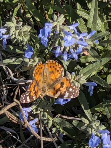
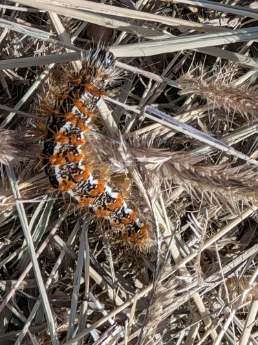
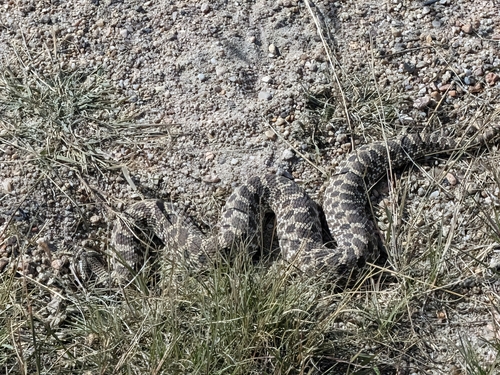
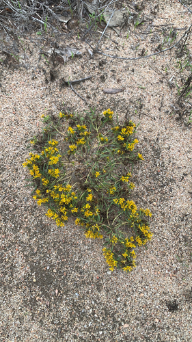
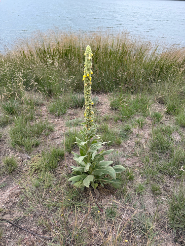
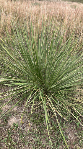
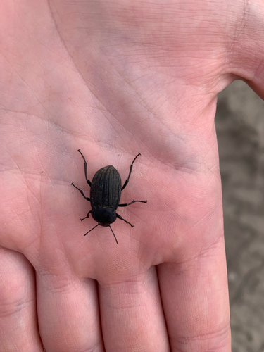
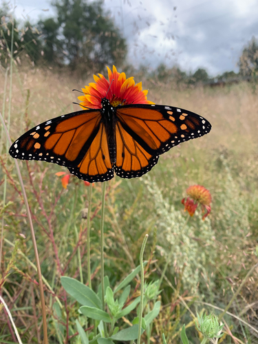
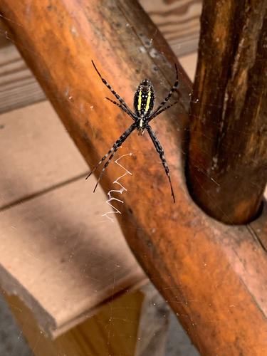
Research-grade observations from iNaturalist (within ~15 mi).
Nearest stream gauge
Events
Gallery
Sources
- • Wikipedia
- • US Census Bureau (ACS 5-year estimates)
- • NOAA National Weather Service
- • Wikidata
- • USGS Earthquake Catalog (global feed)
- • GBIF (Global Biodiversity Information Facility)
- • iNaturalist
- • CDC PLACES
- • Open-Meteo / sunrise-sunset.org
- • Wikipedia Pageviews API
- • Open Library
- • NASA EONET