Browse / United States / Nebraska / Omaha
Omaha
Nebraskacity

Omaha
Total population
489,263
Median home value
$269,500
Bachelor's+
Median income
$71,640
Founded
1854
Air quality index
Demographic figures from US Census Bureau · ACS 5-year estimates. Overview below cites Wikipedia and may reference a different year.
- Dense Fog Advisory · ModerateDense Fog Advisory issued September 17 at 1:42AM CDT until September 17 at 10:00AM CDT by NWS Omaha/Valley NE
Source: NOAA National Weather Service.
City facts
Facts from Wikidata (CC0).
Overview
Omaha is the most populous city in the U.S. state of Nebraska. It is located in the Midwestern United States along the Missouri River, about 10 mi (15 km) north of the mouth of the Platte River. Omaha had a population of 486,051 at the 2020 census, and with a 2025 population estimate of 488,797, it is the 42nd-most populous U.S. city. The eight-county Omaha–Council Bluffs metropolitan area extending into Iowa has approximately 1 million residents, the 55th-largest metropolitan area in the U.S. It is the county seat of Douglas County.
Read more on WikipediaHistory & geography
History
Various Native American tribes had lived in the land that became Omaha since the 17th century, including the Omaha and Ponca, Dhegihan-Siouan language people who had originated in the lower Ohio River valley and migrated west by the early 17th century; Pawnee, Otoe, Missouria, and Iowa. The word Omaha ( or ) in the Omaha language means 'Upstream People' or 'Against the Current'. In 1804 the Lewis and Clark Expedition passed the riverbanks where the city of Omaha would be built. Between July 30 and August 3, 1804, members of the expedition, including Meriwether Lewis and William Clark, met with Oto and Missouria tribal leaders at the Council Bluff at a point about north of present-day Omaha. Immediately south of that area, Americans built several fur trading outposts in succeeding years, including Fort Lisa in 1812; Fort Atkinson in 1819; Cabanné's Trading Post, built in 1822, and Fontenelle's Post in 1823, in what became Bellevue. There was fierce competition among fur traders until John Jacob Astor created the monopoly of the American Fur Company. The Mormons built a town called Cutler's Park in the area in 1846. While it was temporary, the settlement provided the basis for further development. Through 26 separate treaties with the United States federal government, Native American tribes in Nebraska gradually ceded the lands that now make up the state. The treaty and cession involving the Omaha area occurred in 1854 when the Omaha Tribe ceded most of east-central Nebraska. Logan Fontenelle, an interpreter for the Omaha and signatory to the 1854 treaty, played an essential role in those proceedings. Before it was legal to claim land in Indian Country, William D. Brown operated the Lone Tree Ferry that brought settlers from Council Bluffs, Iowa, to the area that…
Geography
According to the United States Census Bureau, the city has a total area of , of which is land and is water. Situated in the Midwestern United States on the bank of the Missouri River in eastern Nebraska, much of Omaha is built in the Missouri River Valley. Other significant bodies of water in the Omaha-Council Bluffs metropolitan area include Lake Manawa, Papillion Creek, Carter Lake, Platte River and the Glenn Cunningham Lake. The city's land has been altered considerably with substantial land grading throughout Downtown Omaha and scattered across the city. East Omaha sits on a flood plain west of the Missouri River. The area is the location of Carter Lake, an oxbow lake. The lake was once the site of East Omaha Island and Florence Lake, which dried up in the 1920s. The Omaha-Council Bluffs metropolitan area consists of eight counties; five in Nebraska and three in Iowa. The metropolitan area now includes Harrison, Pottawattamie, and Mills Counties in Iowa and Washington, Douglas, Sarpy, Cass, and Saunders Counties in Nebraska. This area was formerly referred to only as the Omaha Metropolitan Statistical Area and consisted of only five counties: Pottawattamie in Iowa, and Washington, Douglas, Cass, and Sarpy in Nebraska. The Omaha-Council Bluffs combined statistical area comprises the Omaha-Council Bluffs metropolitan statistical area and the Fremont Micropolitan statistical area; the CSA has a population of 858,720 (2005 Census Bureau estimate). Omaha ranks as the 41st-most populous city in the United States, and is the core city of its 60th-largest metropolitan area. There are no consolidated city-counties in the area; the City of Omaha studied the possibility extensively through 2003 and concluded, "The City of Omaha and Douglas County should merge into a…
Excerpted from the corresponding Wikipedia article (CC BY-SA).
Demographics & economy
Race & ethnicity
Source: US Census Bureau — American Community Survey, 5-year estimates.
Geography
Coordinates & boundaries from the US Census TIGER/Line shapefiles.
Climate
Current forecast
Forecast for Omaha, NE from NOAA NWS API.
Air quality
Current readings from Open-Meteo Air Quality API (Copernicus CAMS European reanalysis).
Industrial & pollution facilities
Natural hazard risk
Health (adults)
Age-adjusted prevalence estimates from CDC PLACES (latest release).
Walkability
Amenities nearby
Wildlife & biodiversity
Most-observed species
- American RobinTurdus migratorius Linnaeus, 1766 · Aves18,437
- Northern CardinalCardinalis cardinalis (Linnaeus, 1758) · Aves16,814
- Blue JayCyanocitta cristata (Linnaeus, 1758) · Aves13,727
- House SparrowPasser domesticus (Linnaeus, 1758) · Aves13,048
- Downy WoodpeckerDryobates pubescens (Linnaeus, 1766) · Aves11,691
- Canada Goose (canadensis Group)Branta canadensis (Linnaeus, 1758) · Aves11,147
- European StarlingSturnus vulgaris Linnaeus, 1758 · Aves11,025
- Mourning DoveZenaida macroura (Linnaeus, 1758) · Aves10,995
Citizen-science & research observations from the Global Biodiversity Information Facility (GBIF).
Schools
Largest nearby schools
- CENTRAL HIGH SCHOOLHigh · OMAHA · 2,738 students · 23:1 ratio
- SOUTH HIGH SCHOOLHigh · OMAHA · 2,686 students · 18.7:1 ratio
- MILLARD SOUTH HIGH SCHOOLHigh · OMAHA · 2,607 students · 16.8:1 ratio
- MILLARD NORTH HIGH SCHOOLHigh · OMAHA · 2,573 students · 17.5:1 ratio
- MILLARD WEST HIGH SCHOOLHigh · OMAHA · 2,309 students · 17.5:1 ratio
- WESTSIDE HIGH SCHOOLHigh · OMAHA · 2,106 students · 16:1 ratio
- BURKE HIGH SCHOOLHigh · OMAHA · 1,915 students · 20.2:1 ratio
- NORTH HIGH SCHOOLHigh · OMAHA · 1,796 students · 22.4:1 ratio
Public K–12 schools within ~10 mi from Urban Institute Education Data Portal (NCES Common Core of Data, 2022).
Earthquake history
Most recent
- M 3.3 — 2010-11-184 km E of Octavia, Nebraska
- M 3.6 — 2009-12-172 km NW of Auburn, Nebraska
- M 3.5 — 2004-07-166 km SSE of Riverton, Iowa
Events from the USGS Earthquake Catalog (global) (FDSN Event Web Service).
Photos
Sights & places nearby
Notable people from here


People born within ~10 km, from Wikidata (CC0). Click any name for their Wikipedia article.
Nearby places in Nebraska
- La Vista5.6 mi away · pop. 16,563
- Chalco7 mi away · pop. 10,595
- Papillion8.3 mi away · pop. 25,244
- Bellevue10.4 mi away · pop. 64,510
- Washington12.3 mi away · pop. 198
- La Platte14.7 mi away
- Cedar Creek15.3 mi away · pop. 427
- Venice15.6 mi away · pop. 73
- Kennard16.6 mi away · pop. 425
- Louisville19.2 mi away · pop. 1,449
- Plattsmouth19.6 mi away · pop. 6,731
- Leshara20 mi away · pop. 177
Geography & sun
Elevation, sunrise/sunset and daylight from Open-Meteo. Solar climatology from NASA POWER.
Nearby airports
Public attention
Pageview totals from the Wikimedia Pageviews API.
Books about Omaha
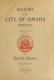


Search results from Open Library.
Recent natural events nearby
- Krause RX Prescribed Fire, Fillmore, NebraskaWildfires · 2026-04-20 · 106 mi
- Hansen WPA RX Prescribed Fire, Clay, NebraskaWildfires · 2026-04-20 · 110 mi
- Taber Rec Wildfire, Bon Homme, South DakotaWildfires · 2026-04-22 · 137 mi
- Peterson Wildfire, Holt, NebraskaWildfires · 2026-04-23 · 165 mi
- Eagle Lake Fire Wildfire, Hancock, IowaWildfires · 2026-05-14 · 175 mi
Wildfires, storms and other events from NASA EONET (last 12 months, within 250 mi).
Ground air-quality sensors
Recently spotted species
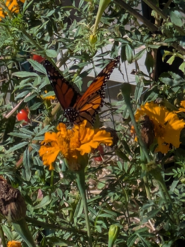
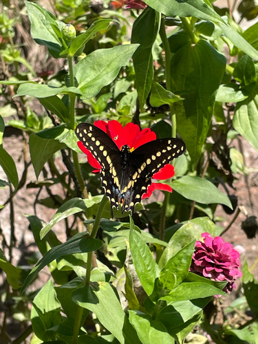
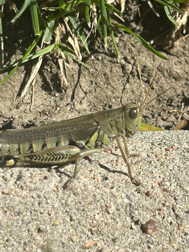
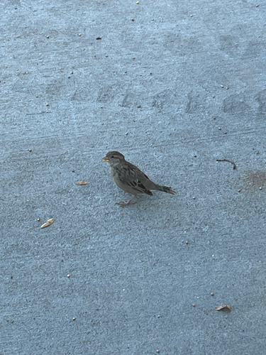
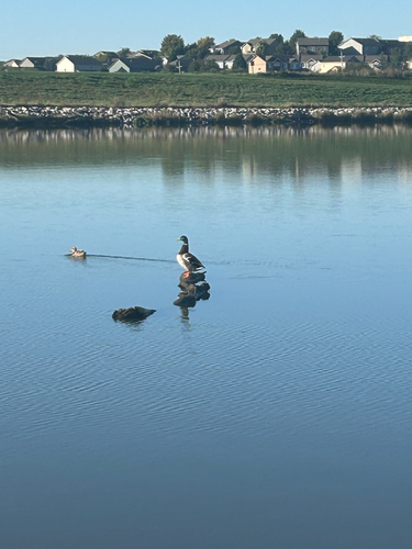
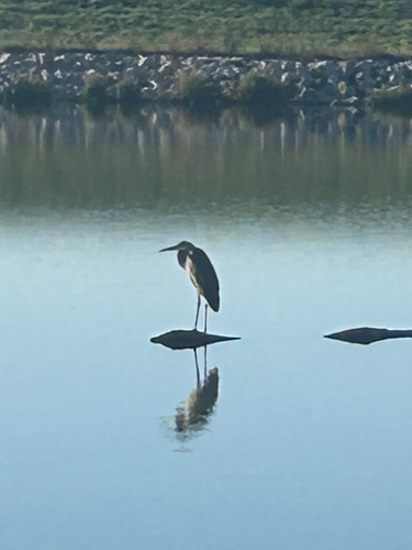
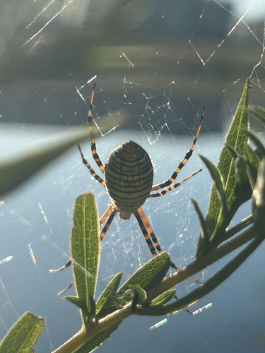
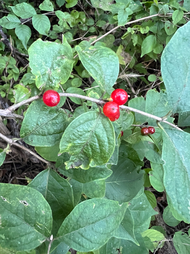
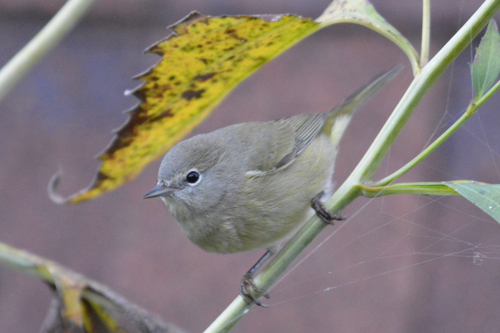
Research-grade observations from iNaturalist (within ~15 mi).
Nearest stream gauge
Live readings from USGS NWIS · measured 2026-06-13 20:05 UTC.
Events
Notable, recurring, and historical events associated with Omaha, sourced from Wikidata.
Source: Wikidata (CC0).
Gallery
Geotagged photos within ~6 miles of Omaha, from Wikimedia Commons contributors.
 0.3 mi
 0.3 mi
 0.3 mi
 0.7 mi
 0.8 mi
 0.9 mi
 0.9 mi
 0.9 mi
 1 mi
1 mi 1.1 mi
 1.1 mi
 1.2 mi
 1.3 mi
 1.4 mi
 1.4 mi
 1.4 mi
 1.4 mi
.jpg) 1.4 mi
1.4 mi 1.4 mi
.jpg) 1.4 mi
1.4 mi.jpg) 1.4 mi
1.4 mi.jpg) 1.4 mi
1.4 mi.jpg) 1.4 mi
1.4 mi_Enterprise_Office_Building_-_Omaha,_Nebraska_(29991644447).jpg) 1.4 mi
1.4 miPhotos via Wikimedia Commons — see each image page for license & attribution.
Sources
- • Wikipedia
- • US Census Bureau (ACS 5-year estimates)
- • NOAA National Weather Service
- • Wikimedia Commons
- • Wikidata
- • Open-Meteo Air Quality (CAMS)
- • USGS Earthquake Catalog (global feed)
- • USGS NWIS (water data)
- • NCES via Urban Institute Education Data Portal
- • GBIF (Global Biodiversity Information Facility)
- • iNaturalist
- • CDC PLACES
- • Open-Meteo / sunrise-sunset.org
- • Wikipedia Pageviews API
- • Open Library
- • NASA EONET