Browse / Nigeria / Ogun / Abeokuta
Abeokuta
Oguncity

Abeokuta
Total population
888,924
Founded
1825
Demographic figures from National Bureau of Statistics (Nigeria). Overview below cites Wikipedia and may reference a different year.
City facts
Facts from Wikidata (CC0).
Overview
Abeokuta is the capital city of Ogun State, which is located in southwestern Nigeria. It is situated on both banks of the Ogun River, near a group of rocky outcrops in a wooded savanna; 77 kilometres (48 mi) north of Lagos by railway, or 130 kilometres (81 mi) by water. As of 2006, Abeokuta had a combined population of 449,088. Its estimated population as at 2022 based on this definition was 735,000 inhabitants, although the city limits has sprawled into the neighbouring LGA of Odeda since the last enumeration exercise.
Read more on WikipediaHistory & geography
History
An account suggests that the early Abeokuta settlements were established by Yoruba migrants from various places within Yoruba land. According to The History of the Yorubas by Samuel Johnson, Eso Ikoyi Chiefs in the retinue of the first Alake of the Egba joined him in founding a new community—the confederacy of towns that became known as Orile Egba—in the forest after they left the nascent Oyo empire in around the 13th century AD. Orile Egba continued to exist until its destruction during the Yoruba Civil Wars of the 19th century. As a result, many of the leading families of the Egba claim descent from the Eso Ikoyis today. Abeokuta was founded as a replacement for Orile Egba in around 1830 by the Egbas after the collapse of the Oyo empire during the civil war. The city was founded because of its strong defensive physical position by refugees trying to protect themselves against slave raiders from Dahomey, who were trying to benefit from the war. The Owu-focused account states that in 1817, the Oyo Empire dissolved into civil war. Refugees displaced by the collapse of Oyo joined with the Ijebu in their war against the Owu in southern Yorubaland, which had broken out around the same time. Following the fall of Owu in around 1822, the leading Ife and Ijebu generals returned to their respective homes, but the rest of the armies that had allied with the Oyo refugees were invited by the Ijebus to Ipara, which they made their headquarters for further attacks against several towns in the region. This group then turned their attention to waging war with the Egba, a loose confederacy of towns that had been established by Yoruba migrants in the 13th century and were spread throughout the forested land between Ipara and Ibadan. The group conquered and destroyed many of these…
Excerpted from the corresponding Wikipedia article (CC BY-SA).
Geography
Coordinates & boundaries from the US Census TIGER/Line shapefiles.
Climate
Air quality
Walkability
Amenities nearby
Wildlife & biodiversity
Earthquake history
Photos
Sights & places nearby
Notable people from here


People born within ~10 km, from Wikidata (CC0). Click any name for their Wikipedia article.
Nearby places in Ogun
Geography & sun
Elevation, sunrise/sunset and daylight from Open-Meteo. Solar climatology from NASA POWER.
Nearby airports
Public attention
Pageview totals from the Wikimedia Pageviews API.
Books about Abeokuta
Search results from Open Library.
Recent natural events nearby
Ground air-quality sensors
Recently spotted species
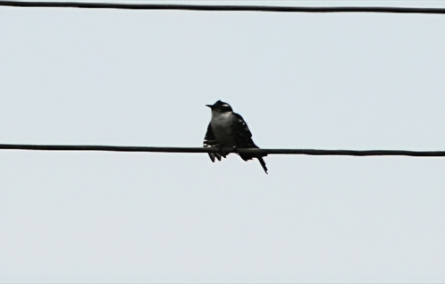
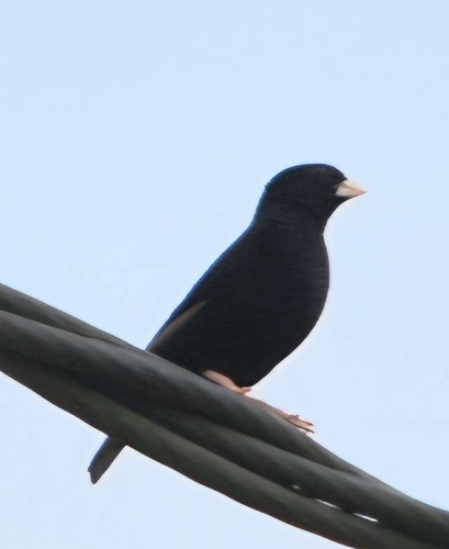

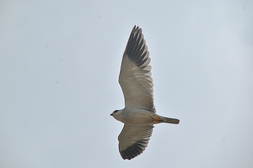
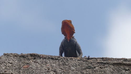
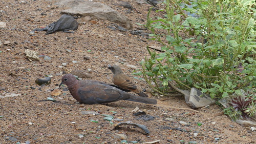
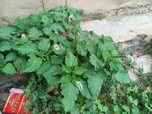
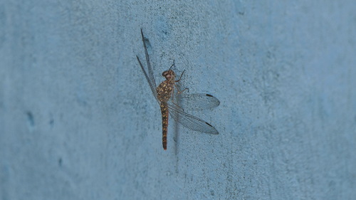
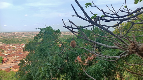
Research-grade observations from iNaturalist (within ~15 mi).
Events
Gallery
Sources
- • Wikipedia
- • Wikidata
- • iNaturalist
- • Open-Elevation
- • Open-Meteo / sunrise-sunset.org
- • Wikipedia Pageviews API
- • Open Library