Browse / Nigeria / Bauchi / Azare
Azare
Bauchitown

Azare
Total population
110,452
Demographic figures from National Bureau of Statistics (Nigeria). Overview below cites Wikipedia and may reference a different year.
City facts
Overview
Azare is a city in Bauchi State, Nigeria. It was founded by Mallam Zaki, who was appointed by Shehu Usman Dan Fodio in early 1814. Azare is the headquarters of Katagum LGA in Bauchi State. It is bordered to the east by Damban Local Government Area (LGA) and Potiskum in Yobe State, to the south by Misau LGA, to the west by Jama'are LGA, and to the north by Itas/Gadau LGA of Bauchi State.
Read more on WikipediaHistory & geography
History
Azare was founded in 1803 by Mallam Zaki. Mallam's father first settled in Nafada in the Gombe emirate and later moved to Yayu, where he had Mallam. After the death of his father, Mallam went to Sheikh Usman Danfodio in Sokoto to take charge in his father's stead. In about 1809, Mallam settled at Tashena, a village about 90 kilometers away from the present Azare. Mallam ruled from 1807 to 1914. He was succeeded by his brother, known as Sulaiman Adandaya, from 1814 to 1816. The third emir of Azare, Mallam Dankauwa, ruled from 1816 until his resignation in 1846. Not more than eight rulers ruled this region up to now.
Geography
Azare is located at , at an elevation of 436 meters. It is the largest of several nearby towns in the region, including Jama'are, Misau, Bulkachuwa, Disina, Faggo, Zadawa Madachi, and Madara. Azare is home to the Federal Medical Centre, Azare, the Federal Government College Azare, and the College of Education Azare.Azare Airstrip lies about 10 km southeast of the town.
Excerpted from the corresponding Wikipedia article (CC BY-SA).
Geography
Coordinates & boundaries from the US Census TIGER/Line shapefiles.
Climate
Air quality
Walkability
Amenities nearby
Wildlife & biodiversity
Most-observed species
- Chestnut-bellied StarlingLamprotornis pulcher (Statius Muller, 1776) · Aves31
- Cattle EgretBubulcus ibis (Linnaeus, 1758) · Aves30
- Long-tailed Glossy StarlingLamprotornis caudatus (Statius Muller, 1776) · Aves28
- White-billed Buffalo-WeaverBubalornis albirostris (Vieillot, 1817) · Aves28
- Vinaceous DoveStreptopelia vinacea (J.F.Gmelin, 1789) · Aves25
- Laughing DoveSpilopelia senegalensis (Linnaeus, 1766) · Aves24
- Tawny-flanked PriniaPrinia subflava (Gmelin, 1789) · Aves23
- Northern Gray-headed SparrowPasser griseus (Vieillot, 1817) · Aves23
Citizen-science & research observations from the Global Biodiversity Information Facility (GBIF).
Earthquake history
Events from the USGS Earthquake Catalog (global) (FDSN Event Web Service).
Photos
Sights & places nearby
Notable people from here
Nearby places in Bauchi
- Zók2417.6 mi away · pop. 249
- Minuim3632.6 mi away
- Coronel João Sá3635.4 mi away · pop. 17,056
- Juá3643.7 mi away
- Ponta de Itabatinga3648.7 mi away
- Salgado do Melão3656.8 mi away
- Sítio do Conde3657.5 mi away
- Barra do Tarrachil3662.9 mi away
- Duas Serras3667.5 mi away
- Chorrochó3674.4 mi away · pop. 10,579
- Cardeal da Silva3683.4 mi away · pop. 8,365
- Mulungu3684.1 mi away
Geography & sun
Nearby airports
Public attention
Books about this place
Recent natural events nearby
Ground air-quality sensors
Recently spotted species
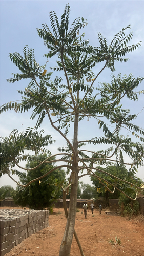
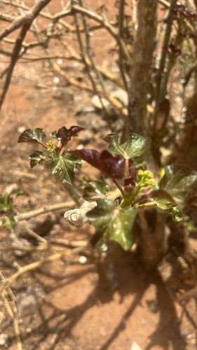
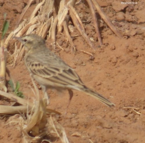
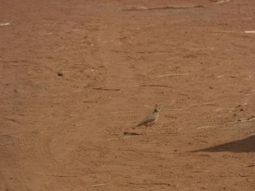
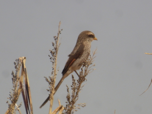
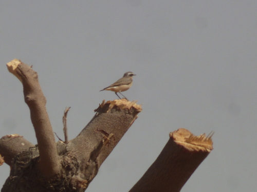
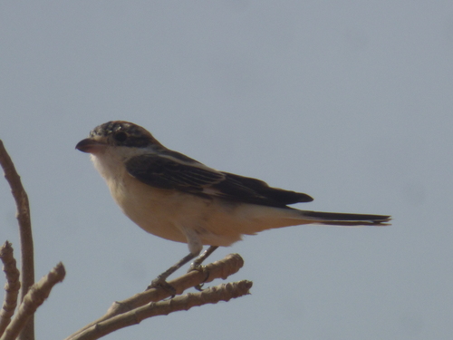
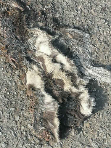
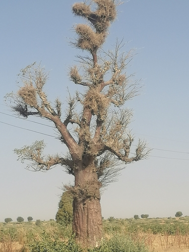
Research-grade observations from iNaturalist (within ~15 mi).
Events
Gallery
Sources
- • Wikipedia
- • USGS Earthquake Catalog (global feed)
- • GBIF (Global Biodiversity Information Facility)
- • iNaturalist