Browse / Nigeria / Kwara / Ilorin
Ilorin
Kwaracity

Ilorin
Total population
847,582
Demographic figures from National Bureau of Statistics (Nigeria). Overview below cites Wikipedia and may reference a different year.
City facts
Facts from Wikidata (CC0).
Overview
Ilorin is the capital city of Kwara State located in the Western region of Nigeria. Although Ilorin is classified under the North-Central geopolitical zone, the city is considered a Yoruba city by all historical and sociological standards. As of the 2006 census, it had a population of 777,667, making it the 7th largest city by population in Nigeria.
Read more on WikipediaHistory & geography
History
Ilorin was founded by the Yoruba, one of the three largest ethnic groups in Nigeria, in the late 18th century. It became a provincial military settlement within the Oyo Empire until 1817, when the local Kakanfo (field marshal) named Afonja rebelled, supported by the Fulani Shehu Alimi, an itinerant Islamic preacher and teacher. Their alliance eventually broke down over the promise made by Afonja to Shehu Alimi during his quest to overtake the Oyo Empire and make Shehu Alimi the overseer of the Ilorin territory. However, Alimi's son Abd al-Salam eventually became the first ruler after the Demise of Afonja and Shehu Alimi and pledged allegiance to the Sokoto Caliphate in 1823. The Oyo Empire and its Borgawa allies marched against Ilorin circa 1835, trying to reclaim its former glory, but were decisively defeated; this marked the end of Oyo. Abd al-Salam led the jihad toward the sea but was ultimately stopped at Oshogbo in 1840 by the army of Ibadan. It strongly resisted British rule, but was occupied by the Royal Niger Company in 1897 and its lands were incorporated into the British Northern Nigeria Protectorate in 1900.
Excerpted from the corresponding Wikipedia article (CC BY-SA).
Geography
Coordinates & boundaries from the US Census TIGER/Line shapefiles.
Climate
Air quality
Walkability
Amenities nearby
Wildlife & biodiversity
Earthquake history
Photos
Sights & places nearby
Notable people from here


People born within ~10 km, from Wikidata (CC0). Click any name for their Wikipedia article.
Nearby places in Kwara
- Oja Tuntun, Oko Erin, Nigeria0.9 mi away
- Oja Tutun, Oko Erin, Nigeria1.1 mi away
- Oja Oba, Oko Erin, Nigeria1.1 mi away
- Mandate Estate, Ilorin, Nigeria1.7 mi away
- Owu-Obalayan22.1 mi away
- Omupo22.8 mi away
- Buari25.1 mi away
- Ajasse Ipo25.2 mi away
- Ijagbo Offa26.4 mi away · pop. 90,000
- Offa, Nigeria27.3 mi away
- Erin Ile29 mi away
- Oro29.3 mi away
Geography & sun
Elevation, sunrise/sunset and daylight from Open-Meteo. Solar climatology from NASA POWER.
Nearby airports
Public attention
Pageview totals from the Wikimedia Pageviews API.
Books about Ilorin
Search results from Open Library.
Recent natural events nearby
Ground air-quality sensors
Recently spotted species
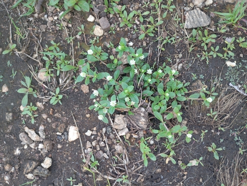
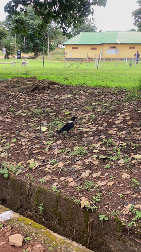
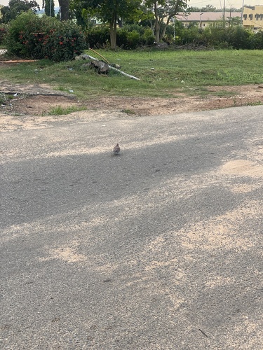
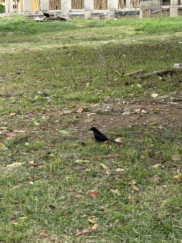
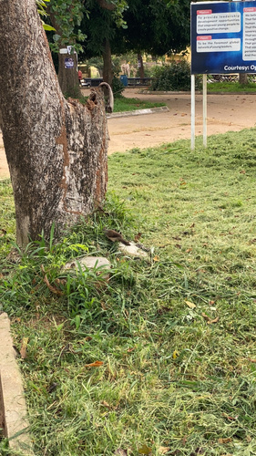
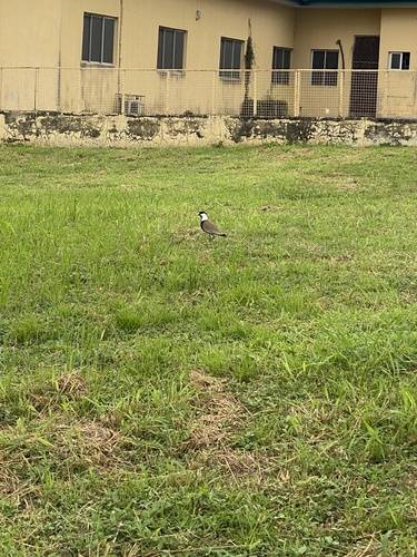
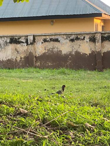
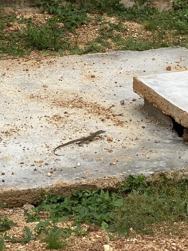
Research-grade observations from iNaturalist (within ~15 mi).
Events
Gallery
Sources
- • Wikipedia
- • Wikidata
- • iNaturalist
- • Open-Meteo / sunrise-sunset.org
- • Wikipedia Pageviews API
- • Open Library