Browse / Nigeria / Kaduna / Kafanchan
Kafanchan
Kadunatown

Kafanchan
Total population
83,092
Demographic figures from National Bureau of Statistics (Nigeria). Overview below cites Wikipedia and may reference a different year.
City facts
Facts from Wikidata (CC0).
Overview
Kafanchan is a town located in the southern part of Kaduna State, Nigeria. The town owes much of its development to the railway development in the area. The railway is situated at a particular junction of the Nigerian Railway Corporation (NRC) station built in 1927. It sits on the railtrack connecting Port Harcourt, Enugu, Kafanchan, Kuru, Bauchi and finally Maiduguri. As of 2007, Kafanchan had an estimated population of 83,092.
Read more on WikipediaHistory & geography
History
In the oral narrative given by the Agwam Fantswam I, reported by a writer for Sun Travels, the original home of the Fantswam (Kafanchan) people was traced to Inkil, a settlement in the eastern part of Bauchi State, 5 km from the modern city of Bauchi. The people were said to have left Inkil to settle at a riverine settlement called Bunga, and later on at Karge to the south. Having discovered that there was not enough game around Karge, being hunters, they moved across Zalan to the Jos Plateau, settling temporarily at the present abode of the Anaguta and Afizere (Jarawa) peoples, before proceeding through Rahama, Kauru and subsequently settling at Mashan in Atyap Chiefdom. A need birthed their advancement down to Magata, Kacecere, Zali (Malagum) and then to their present abode, Kafanchan, where they discovered enough games and protection from slave raiders, due to the thickly forested environment and thus chose to stay. In the early years of the Fulani Jihad of the early 1800s, the Fulani ran being annihilated by the Kajuru Hausa chief. Usman Yabo led his people from Kajuru to settle in a place they named Jama'a Dororo meaning "people of Dororo" and founded an emirate amidst the people who gave him and his people the portion of land where they stayed, south of Fantswam territory. After the formation of the Plateau province (1926), in 1933, the British colonial authorities encouraged the migration of the Hausa-Fulani community of about 955 from Jama'a Daroro to Kafanchan town. The new community settled in the area they called "Jama'a Sarari", a Hausa-Arabic phrase meaning "people of the plains". The Jama'a Emirate is a vassal state of the Zaria Emirate. In addition to the colonial officers and missionaries who came in the 1900s, the completion of the busy railway…
Geography
The town lies within the Southern Guinea Zone, consisting of forests and savannah lands, and is located southwest of the Jos Plateau escarpment on the windward region. The relief consists of two main rivers, Sanga (same as the Kogum River) and Amere (same as the Mada River and River Wonderful), both sourced from the plateau, with the former merging with the latter close to the Kogum River Station and finally emptying into the Benue River. There lie in addition, numerous hills, valleys streams. The undulating lands also provide fertile grounds for agricultural activities. Kafanchan has an average annual temperature of about with average yearly highs of about and lows of . The town has zero rainfalls at the ends and beginnings of the year with a yearly precipitation of about on average, and an average humidity of 53.7%, similar to that of Kagoro. }}
Excerpted from the corresponding Wikipedia article (CC BY-SA).
Geography
Coordinates & boundaries from the US Census TIGER/Line shapefiles.
Climate
Air quality
Walkability
Amenities nearby
Wildlife & biodiversity
Earthquake history
Photos
Sights & places nearby
Notable people from here
Nearby places in Kaduna
Geography & sun
Elevation, sunrise/sunset and daylight from Open-Meteo. Solar climatology from NASA POWER.
Nearby airports
Public attention
Pageview totals from the Wikimedia Pageviews API.
Books about Kafanchan
Search results from Open Library.
Recent natural events nearby
Ground air-quality sensors
Recently spotted species
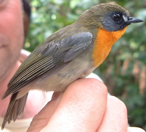
Research-grade observations from iNaturalist (within ~15 mi).
Events
Gallery
Sources
- • Wikipedia
- • Wikidata
- • iNaturalist
- • Open-Meteo / sunrise-sunset.org
- • Wikipedia Pageviews API
- • Open Library