Browse / Nigeria / Nasarawa / Lafia
Lafia
Nasarawacity

Lafia
Total population
509,300
Demographic figures from National Bureau of Statistics (Nigeria). Overview below cites Wikipedia and may reference a different year.
City facts
Facts from Wikidata (CC0).
Overview
Lafia is a city in Nigeria's North Central region. It is the capital and largest city of Nasarawa State, with a population of 509,300 inhabitants as of the 2021 census. It is the headquarters of the Lafia Emirate Council.
Read more on WikipediaHistory & geography
History
Lafia, also known as Lafian bare-bari, is the capital city of Nasarawa State, North Central Nigeria. Founded by Muhammadu Dunama in late 18th century on the site south of Shabu village. The town now has its 17th Emir in the person of Hon. Justice Sidi Bage Muhammad I JSC rtd. Lafia became the capital of a prominent local chiefdom in the late 19th century. During the rule of Mohamman Agwai (1881–1903), the Lafia market became one of the most important in the Benue Valley, and a trade route was opened to Loko (56 mi [90 km] southwest), a Benue River port. In 1903, the British, who controlled Northern Nigeria recognized Chief Musa as Lafia's first emir. The emirate formed the major part of the Lafia Division of Benue province. In 1967, the town became part of Benue-Plateau state, and in 1976, it was allocated to Plateau state. The original inhabitants of Lafia are mainly by the Kanuri, Agatu Gwandara, Alago, Migilli (Koro). It also has large populations of Hausa. This is due to the hospitable nature of the indigenes and has made the city a miniature Nigeria. Modern Lafia aside from being an administrative and educational centre, it is also a collecting point for sesame seeds, soybeans, and is a trading centre for yams, sorghum, millet, and cotton. Besides farming, cotton weaving and dyeing are traditionally important activities of the town's inhabitants. Livestock farming is also a prominent activity especially amongst the Fulani herdsmen. The two royal families of Ari and Dallah Dunama of the Kanuri people (Bare-Bari) are the ruling houses of the Lafia Emirate. The current Emir is Sidi Bage, from the Dallah Dunama royal family. He succeeded the longest reigning Emir, HRH Isa Mustapha Agwai I (1976–2019).
Excerpted from the corresponding Wikipedia article (CC BY-SA).
Geography
Coordinates & boundaries from the US Census TIGER/Line shapefiles.
Climate
Air quality
Walkability
Amenities nearby
Wildlife & biodiversity
Earthquake history
Photos
Sights & places nearby
Notable people from here


People born within ~10 km, from Wikidata (CC0). Click any name for their Wikipedia article.
Nearby places in Nasarawa
Geography & sun
Elevation, sunrise/sunset and daylight from Open-Meteo. Solar climatology from NASA POWER.
Nearby airports
Public attention
Pageview totals from the Wikimedia Pageviews API.
Books about Lafia
Search results from Open Library.
Recent natural events nearby
Ground air-quality sensors
Recently spotted species
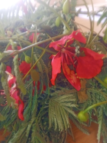
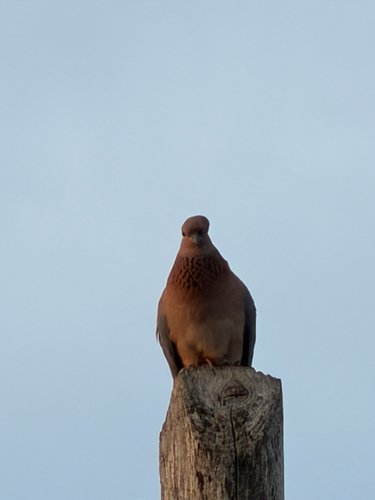
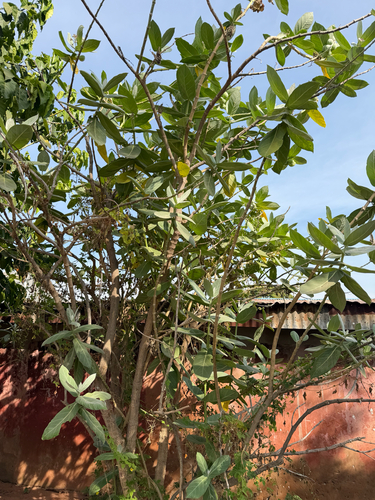
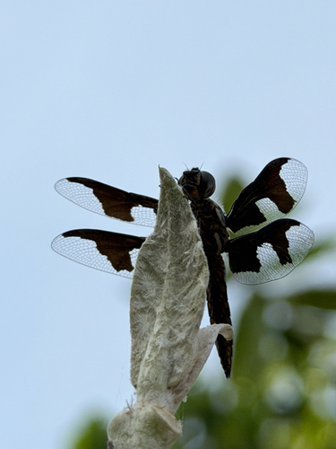
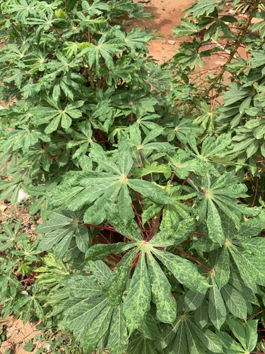
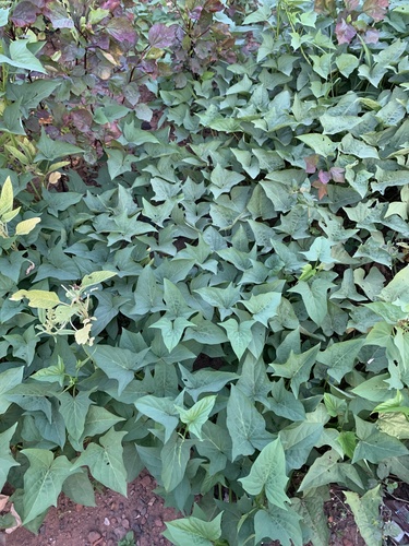
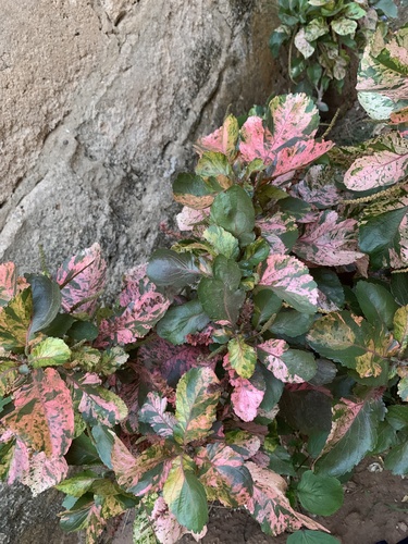
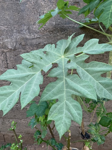
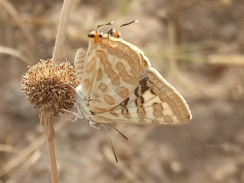
Research-grade observations from iNaturalist (within ~15 mi).
Events
Gallery
Sources
- • Wikipedia
- • Wikidata
- • iNaturalist
- • Open-Meteo / sunrise-sunset.org
- • Wikipedia Pageviews API
- • Open Library