Browse / Nigeria / Lagos / Lagos
Lagos
Lagoscity

Lagos
Total population
10,404,112
Founded
1472
Air quality index
Demographic figures from National Bureau of Statistics (Nigeria). Overview below cites Wikipedia and may reference a different year.
City facts
Sister cities
Facts from Wikidata (CC0).
Overview
Lagos, or Lagos City, is a large metropolitan port city in southwestern Nigeria. As of November 2025, the size of the city's population has been estimated to be between 17 and 21 million residents, making Lagos the largest city in Nigeria, the most populous urban area on the African continent, and one of the fastest-growing megacities in the world.
Read more on WikipediaHistory & geography
History
Lagos emerged as a home to the Awori people, a subgroup of the Yoruba of West Africa in the 15th century. They lived in the area which is centered on the present-day Local Government Areas (LGAs) of Lagos Island, Eti-Osa, Amuwo-Odofin, and Apapa. Before the 15th century, the Awori settled on a farmstead along the coastal line, in and around which they worked and lived. "Farmstead" or "hamlet" translates to Ereko in Yoruba, from which comes the indigenous name of Lagos; Eko. Due to rapid urbanisation, the city expanded to the west of the lagoon to include areas in the present-day Lagos Mainland, Ajeromi-Ifelodun, and Surulere. This led to the classification of Lagos into two main areas: the Island, which was the original city of Lagos, and the Mainland, which it has since expanded into. This city area was governed directly by the Federal Government through the Lagos City Council until the creation of Lagos State in 1967, which led to the splitting of Lagos city into the present-day seven Local Government Areas (LGAs), and the addition of other towns (which now make up 13 LGAs) from the then Western Region to form the state. Present-day Lagos consists of 16 LGAs, including Ikeja, the state capital of Lagos State. While this conurbation encompasses 37% of Lagos State's total land area, it accommodates approximately 85% of the state's total population. Lagos was the national capital of Nigeria until the government's December 1991 decision to relocate its capital to Abuja, in the centre of the country.
Geography
Lagos is loosely classified into two main geographical areas—the "Island" and the "Mainland". The city of Lagos has the tallest skyline in Nigeria. The architectural styles in Lagos are diverse, ranging from tropical and vernacular to colonial European and ultramodern buildings, or a mixture. Brazilian-style architecture brought by the creoles is evident in buildings such as Water House and Shitta Bey Mosque. Skyscrapers and most high-rise buildings are centered on the islands, while the mainland has some high-rise buildings. In recent years, the Lagos State government has renovated existing parks and green areas, with a long-term goal of expansion. Many good quality buildings are interspersed across the city. The Island is a loose geographical term that is used to define the area of Lagos that is separated from the "Mainland" by the main channel draining the lagoon into the Atlantic Ocean, which forms Lagos Harbour. The Island is mainly a collection of islands that are separated from each other by creeks and are connected by bridges. The smaller sections of some creeks have been dredged and built over. This part of Lagos is the area where most business activities and entertainment events take place, as well as where most of the upscale residential areas are concentrated. The Local Government Areas (LGAs) that are considered to be on the Island include Lagos Island and Eti-Osa. The major upscale Island neighbourhoods within these LGAs include Ikoyi and Victoria Island. Three major bridges join the Island to the Mainland. They are the Carter Bridge, which starts from Iddo; the Eko Bridge (formerly called the Second Mainland Bridge); and the Third Mainland Bridge, which passes through densely populated mainland suburbs to the Lagos Lagoon. The Ikoyi link bridge links…
Excerpted from the corresponding Wikipedia article (CC BY-SA).
Geography
Coordinates & boundaries from the US Census TIGER/Line shapefiles.
Climate
Air quality
Current readings from Open-Meteo Air Quality API (Copernicus CAMS European reanalysis).
Walkability
Amenities nearby
Wildlife & biodiversity
Most-observed species
- Cattle EgretBubulcus ibis (Linnaeus, 1758) · Aves148
- Pied CrowCorvus albus Statius Muller, 1776 · Aves143
- Laughing DoveSpilopelia senegalensis (Linnaeus, 1766) · Aves134
- Red-eyed DoveStreptopelia semitorquata (Rüppell, 1837) · Aves129
- Western Plantain-eaterCrinifer piscator (Boddaert, 1783) · Aves109
- Black KiteMilvus migrans (Boddaert, 1783) · Aves109
- Speckled PigeonColumba guinea Linnaeus, 1758 · Aves104
- Common BulbulPycnonotus barbatus (Desfontaines, 1789) · Aves97
Citizen-science & research observations from the Global Biodiversity Information Facility (GBIF).
Earthquake history
Events from the USGS Earthquake Catalog (global) (FDSN Event Web Service).
Photos
Sights & places nearby
Notable people from here


People born within ~10 km, from Wikidata (CC0). Click any name for their Wikipedia article.
Nearby places in Lagos
Geography & sun
Elevation, sunrise/sunset and daylight from Open-Meteo. Solar climatology from NASA POWER.
Nearby airports
Public attention
Pageview totals from the Wikimedia Pageviews API.
Books about Lagos


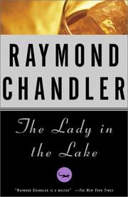
Search results from Open Library.
Recent natural events nearby
Ground air-quality sensors
Recently spotted species
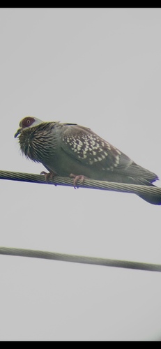
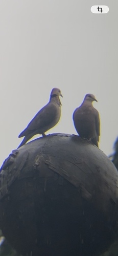
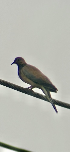
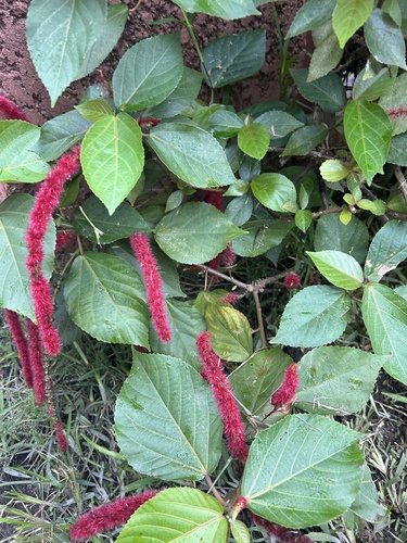
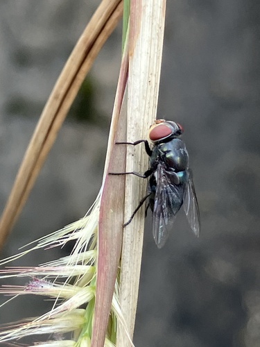
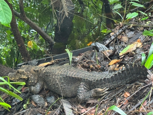
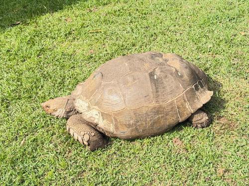
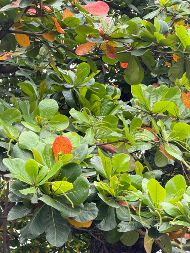
Research-grade observations from iNaturalist (within ~15 mi).
Events
Notable, recurring, and historical events associated with Lagos, sourced from Wikidata.
- 2017 Africa Magic Viewers Choice AwardsMar 5, 2017award ceremony
The 2017 Africa Magic Viewers Choice Awards (AMVCA) was held on March 5, 2017 at the Eko Hotels and Suites in Victoria Island, Lagos, Nigeria. Organized by by Multichoice Africa.
- 2016 Africa Magic Viewers Choice AwardsMar 5, 2016award ceremony
2016 Africa Magic Viewers Choice Awards is an award ceremony organized by Multichoice held on March 5, 2016 at the Eko Hotels and Suites, Victoria Island, Lagos, Nigeria. It was hosted by Minnie Dlamini and Ikponmwosa Osakioduwa.
- 2015 Africa Magic Viewers Choice AwardsMar 7, 2015award ceremony
2015 Africa Magic Viewers Choice Awards is an award ceremony organized by Multichoice, hosted by IK and Vimbai held on March 7, 2015 at the Eko Hotel and Suites, Victoria Island, Lagos, Nigeria.
- Oct 18, 2014
- Mar 8, 2014
- Jan 1, 2014
- 2013 Nollywood Movies AwardsOct 12, 2013award ceremony
2013 Africa Magic Viewers Choice Awards were held on 9 March 2014 and co-hosted by Big Brother Africa presenter IK Osakioduwa and StarGist’s host
- 2013 Africa Magic Viewers Choice AwardsMar 9, 2013award ceremony
is an award ceremony organized by Multichoice Africa
- 2012 Nollywood Movies AwardsJun 2, 2012award ceremony
- Dec 11, 2010
- Mar 15, 2008
- Mar 17, 2007
- Jan 1, 2001
- World Festival of Black Artsfestival
month-long culture and arts festival that takes place in Africa, featuring artists and performers from around the African Diaspora
Source: Wikidata (CC0).
Gallery
Geotagged photos within ~6 miles of Lagos, from Wikimedia Commons contributors.
 0.3 mi
 0.3 mi
 0.3 mi
 0.3 mi
 0.3 mi
 0.3 mi
 0.3 mi
 0.3 mi
 0.3 mi
 0.3 mi
 0.4 mi
 0.4 mi
 0.4 mi
 0.4 mi
 0.4 mi
 0.4 mi
 0.4 mi
 0.4 mi
 0.4 mi
.jpg) 0.4 mi
0.4 mi.jpg) 0.4 mi
0.4 mi.jpg) 0.4 mi
0.4 mi.jpg) 0.4 mi
0.4 mi.jpg) 0.4 mi
0.4 miPhotos via Wikimedia Commons — see each image page for license & attribution.
Sources
- • Wikipedia
- • Wikimedia Commons
- • Wikidata
- • Open-Meteo Air Quality (CAMS)
- • USGS Earthquake Catalog (global feed)
- • GBIF (Global Biodiversity Information Facility)
- • iNaturalist
- • Open-Meteo / sunrise-sunset.org
- • Wikipedia Pageviews API
- • Open Library