Browse / Nigeria / Anambra / Nibo
Nibo
Anambratown
No image yet
Coordinates6.17°, 7.07°
Demographic figures from National Bureau of Statistics (Nigeria). Overview below cites Wikipedia and may reference a different year.
Loading additional data from public sources…0 / 11
CensusWikipediaWeatherPlacesPeopleEnvironmentHealth & SchoolsRelatedGeography & CultureLive MonitoringEvents & Gallery
0% completeCity facts
Overview
Nibo is a town in the Awka South local government area of Anambra State, Nigeria.
Read more on WikipediaHistory & geography
Geography
Latitude
6.1725
Longitude
7.0670
Water area
—
Coordinates & boundaries from the US Census TIGER/Line shapefiles.
Climate
Air quality
Walkability
Amenities nearby
Wildlife & biodiversity
Earthquake history
Photos
Sights & places nearby
Notable people from here
N
Nkem Nwankwo
Nigerian writer (1936–2001)

Kenneth Onwuka Dike
Nigerian historian (1917-1983)

Judith Amaechi
Nigerian advocate for the rights women and children

Obioma Nnaemeka
Nigerian academic

Uche Ekwunife
Nigerian politician
K
Ken Nwogbo
Nigerian journalist
P
Precious Chikwendu
Nigerian actress and model (born 1989)
N
Nkem Okeke
Nigerian politician
V
Victor Ndigwe
Nigerian model

Charles Igwe Arizechukwu
Nigerian professor of soil sciences

Ejike Obumneme Aghanya
Nigerian military officer and electrical engineer
J
James Nwoye Adichie
Ph.D. University of California, Berkeley 1966

Nneka Onyeali-Ikpe
Nigerian business executive and banker
E
Elijah Chinezim Onyeagba
Nigerian politician
S
Sharon Francis
Nigerian actress

Ugezu J. Ugezu
Nigerian actor
People born within ~10 km, from Wikidata (CC0). Click any name for their Wikipedia article.
Nearby places in Anambra
- Cortijos de Marín2200.6 mi away · pop. 3,066
- Las Norias de Daza2202.3 mi away · pop. 6,665
- Aguadulce2202.7 mi away · pop. 18,029
- La Gangosa2203.1 mi away · pop. 10,114
- Carboneras2203.5 mi away · pop. 7,096
- Balanegra2204.6 mi away · pop. 3,011
- Enix2207.5 mi away · pop. 389
- Benahadux2208.2 mi away · pop. 4,508
- Gádor2210.6 mi away · pop. 2,678
- Castell de Ferro2211.2 mi away · pop. 2,967
- La Mamola2211.2 mi away · pop. 955
- Lucainena de las Torres2211.4 mi away · pop. 454
Geography & sun
Avg solar (kWh/m²/day)
4.72
Annual solar (kWh/m²)
1,724
Elevation, sunrise/sunset and daylight from Open-Meteo. Solar climatology from NASA POWER.
Nearby airports
Public attention
Wikipedia views (last 30 days)
184
Avg daily Wikipedia views
6
Attention level
Obscure
Pageview totals from the Wikimedia Pageviews API.
Books about this place
Recent natural events nearby
Ground air-quality sensors
Recently spotted species
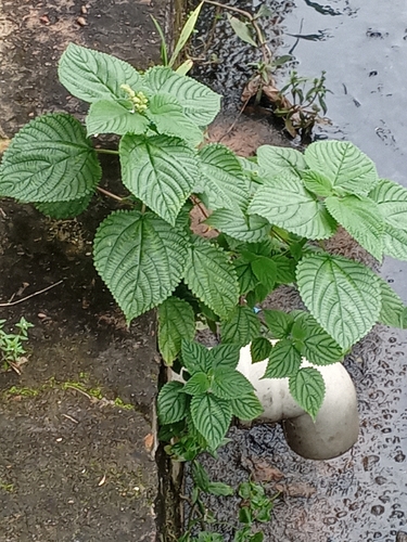
West Indian woodnettle
Laportea aestuans
Seen 2026-08-11
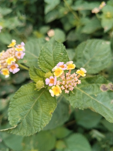
common lantana
Lantana camara
Seen 2026-06-15
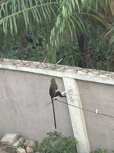
Mona Monkey
Cercopithecus mona
Seen 2025-04-07
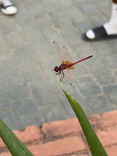
Red-veined Dropwing
Trithemis arteriosa
Seen 2024-12-28
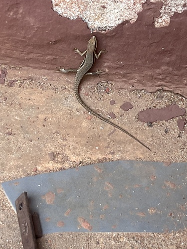
Senegal Mabuya
Trachylepis affinis
Seen 2023-12-24
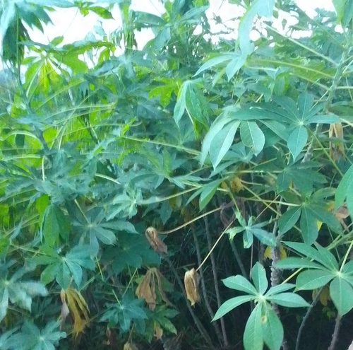
Cassava
Manihot esculenta
Seen 2022-06-06
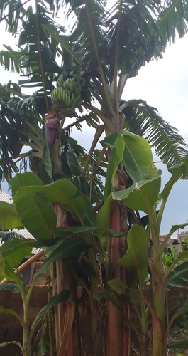
Plantain
Musa × paradisiaca
Seen 2022-06-06
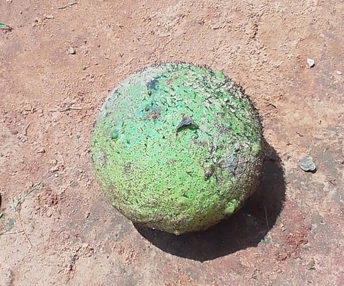
African breadfruit
Treculia africana
Seen 2022-06-06

Purple-brown Hairstreak
Hypolycaena philippus philippus
Seen 2020-11-29
Research-grade observations from iNaturalist (within ~15 mi).
Events
Gallery
Sources
- • Wikipedia
- • Wikidata
- • iNaturalist
- • Open-Meteo / sunrise-sunset.org
- • Wikipedia Pageviews API