Browse / Nigeria / Bauchi / Ningi
Ningi
Bauchitown
Demographic figures from National Bureau of Statistics (Nigeria). Overview below cites Wikipedia and may reference a different year.
City facts
Overview
Set in Bauchi, Nigeria, Ningi is recorded in open geodata as a town. On the world map it falls within the Eastern Hemisphere, specifically at 11.075°, 9.569°. No reliable population estimate is published for this entry in the open data we rely on. The latitude suggests warm temperatures throughout the year with pronounced wet and dry seasons. Open solar datasets indicate about 2,140 kWh/m² of solar irradiance per year, combined with sunshine for roughly 84% of daylight hours. Detailed open-data panels follow, covering demographics, climate, geography, wildlife and nearby settlements.
Summary composed automatically from structured open data on this page. See our Terms for details.
History & geography
Geography
Coordinates & boundaries from the US Census TIGER/Line shapefiles.
Climate
Air quality
Walkability
Amenities nearby
Wildlife & biodiversity
Most-observed species
- Red-cheeked CordonbleuUraeginthus bengalus (Linnaeus, 1766) · Aves16
- Cattle EgretBubulcus ibis (Linnaeus, 1758) · Aves15
- Vinaceous DoveStreptopelia vinacea (J.F.Gmelin, 1789) · Aves15
- Laughing DoveSpilopelia senegalensis (Linnaeus, 1766) · Aves15
- Long-tailed Glossy StarlingLamprotornis caudatus (Statius Muller, 1776) · Aves13
- Chestnut-bellied StarlingLamprotornis pulcher (Statius Muller, 1776) · Aves11
- Red-billed FirefinchLagonosticta senegala (Linnaeus, 1766) · Aves10
- Northern Gray-headed SparrowPasser griseus (Vieillot, 1817) · Aves9
Citizen-science & research observations from the Global Biodiversity Information Facility (GBIF).
Earthquake history
Events from the USGS Earthquake Catalog (global) (FDSN Event Web Service).
Photos
Sights & places nearby
Notable people from here

People born within ~10 km, from Wikidata (CC0). Click any name for their Wikipedia article.
Nearby places in Bauchi
- Zók2465.5 mi away · pop. 249
- Minuim3578 mi away
- Coronel João Sá3580.6 mi away · pop. 17,056
- Juá3589.3 mi away
- Ponta de Itabatinga3593.1 mi away
- Sítio do Conde3601.9 mi away
- Salgado do Melão3602.5 mi away
- Barra do Tarrachil3608.9 mi away
- Duas Serras3612.7 mi away
- Chorrochó3620.3 mi away · pop. 10,579
- Cardeal da Silva3627.9 mi away · pop. 8,365
- Mulungu3628.6 mi away
Geography & sun
Elevation, sunrise/sunset and daylight from Open-Meteo. Solar climatology from NASA POWER.
Nearby airports
Public attention
Books about this place
Recent natural events nearby
Ground air-quality sensors
Recently spotted species
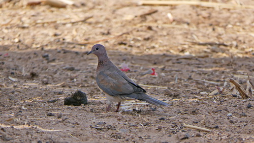
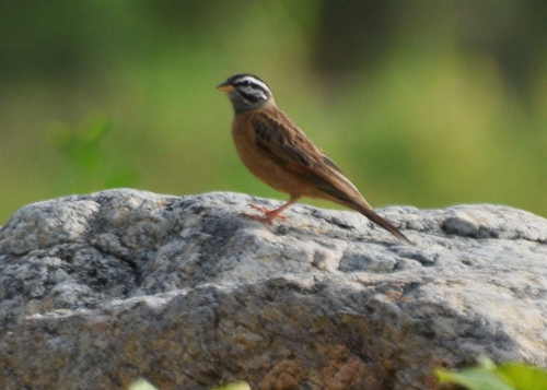
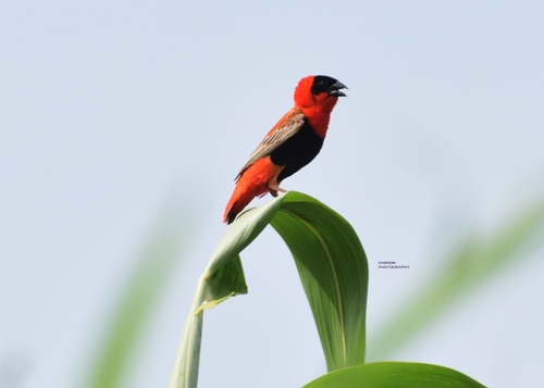
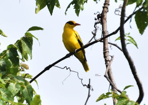
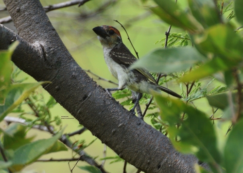
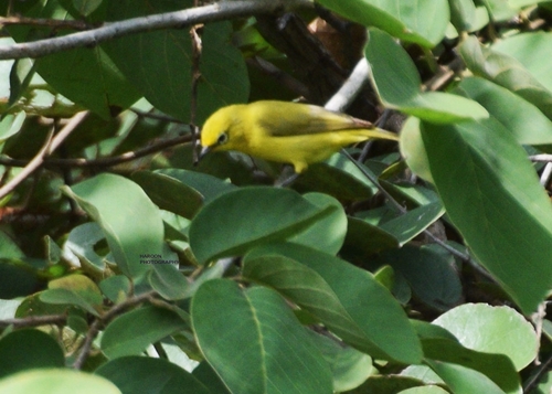
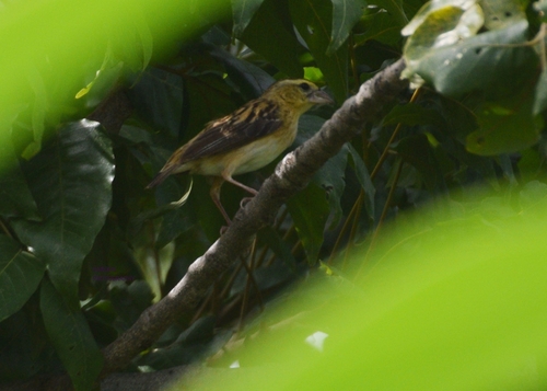
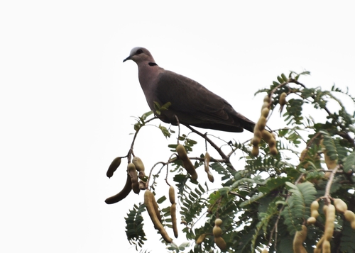
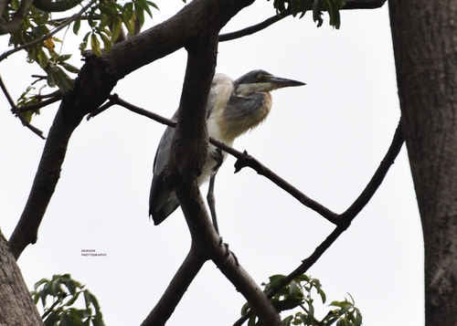
Research-grade observations from iNaturalist (within ~15 mi).
Events
Gallery
Sources
- • Wikidata
- • USGS Earthquake Catalog (global feed)
- • GBIF (Global Biodiversity Information Facility)
- • iNaturalist
- • Open-Meteo / sunrise-sunset.org