Browse / Nigeria / Kwara / Omu Aran
Omu Aran
Kwaratown
Demographic figures from National Bureau of Statistics (Nigeria). Overview below cites Wikipedia and may reference a different year.
City facts
Overview
Omu-Aran, the Head Post of Ìgbómìnàland, is a town in Kwara State, Nigeria. It originated from Ife. At present, Omu-Aran is the headquarters or capital city of Kwara-South Senatorial District and the local government headquarters of Irepodun Local Government Area. Omu-Aran is 86.3 km (53.6 mi) from Ilorin, Kwara State Capital, along Ilorin-Kabba Federal Highway.
Read more on WikipediaHistory & geography
History
Omu-Aran, which was once the headquarters of the Igbomina/Ekiti Division in what was then the West Central State and is now known as Kwara, has a rich history that spans over 500 years. Today, it serves as the Local Government Headquarters of Irepodun. The community was founded due to the migration of people from Ilé-Ifẹ̀. There was a drought in Ile-Ife. To know the cause of the drought, the oracle was consulted. The oracle said Ife was over-crowded and therefore some people had to leave. Some princes were selected to migrate to other places and were given the symbol of authority. Olomu-Aperan, the founder of Omu-Aran, was one of the selected princes who boldly established himself as the first to arrive in the region now known as Igbomina land. Omutoto or Omitoto, one of the wives of Olofinaiye Oduduwa was the mother of both Olomu Aperan and Owa Ajibogun, the founder of Ijesha land. This tradition is accepted in Ilesha and Ile Ife today. Olomu Aperan became the custodian of the Ogbo because of the Royal War title Esinkin. However, Ogbo, a symbol of authority was the property of the aboriginal people of Ile Ife. The Ogbo was also the symbol of oneness among the council of Elders in Ile Ife. Through the Ogbo the council could unknot every difficult problem. Hence, the council was called the Council of Ologbomona. Olomu Aperan left Ile-Ife with the Ogbo and found various Kingdoms. Omu-Aran is made up of people from different backgrounds who migrated to the present site of the town. Omu-Aran became the headquarters of Irepodun LGA on 24 August 1976.
Excerpted from the corresponding Wikipedia article (CC BY-SA).
Geography
Coordinates & boundaries from the US Census TIGER/Line shapefiles.
Climate
Air quality
Walkability
Amenities nearby
Wildlife & biodiversity
Earthquake history
Photos
Sights & places nearby
Notable people from here


People born within ~10 km, from Wikidata (CC0). Click any name for their Wikipedia article.
Geography & sun
Elevation, sunrise/sunset and daylight from Open-Meteo. Solar climatology from NASA POWER.
Nearby airports
Public attention
Pageview totals from the Wikimedia Pageviews API.
Books about Omu Aran
Search results from Open Library.
Recent natural events nearby
Ground air-quality sensors
Recently spotted species
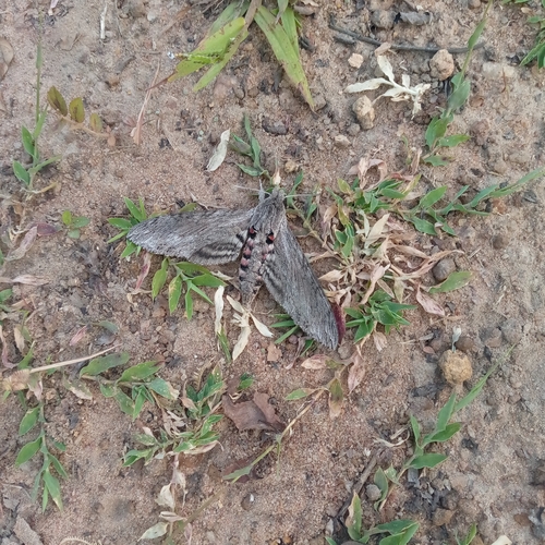
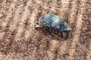
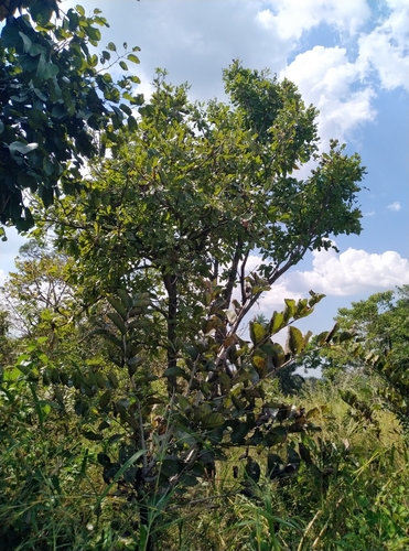
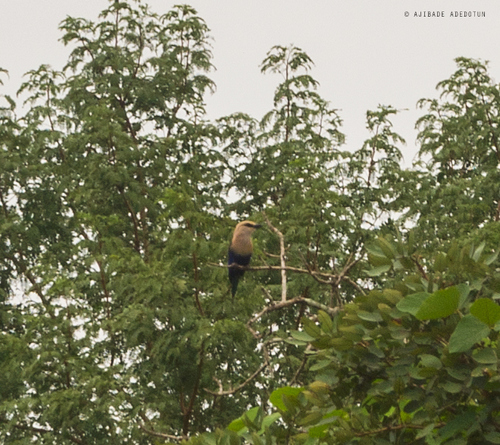
Research-grade observations from iNaturalist (within ~15 mi).
Events
Gallery
Sources
- • Wikipedia
- • Wikidata
- • iNaturalist
- • Open-Meteo / sunrise-sunset.org
- • Wikipedia Pageviews API
- • Open Library