Browse / Nigeria / Imo / Owerri
Owerri
Imocity

Owerri
Total population
401,873
Demographic figures from National Bureau of Statistics (Nigeria). Overview below cites Wikipedia and may reference a different year.
City facts
Sister cities
Facts from Wikidata (CC0).
Overview
Owerri is the capital city of Imo State in Nigeria, set in the heart of Igboland. It is also the state's largest city, followed by Orlu, Okigwe and Ohaji/Egbema. Owerri consists of three Local Government Areas namely Owerri Municipal, Owerri North and Owerri West. It has an estimated population of 1,401,873 as of 2016 and is approximately 551.00 square kilometres (212.743 sq mi) in area combining the 3 local government making up Owerri. Owerri is bordered by the Otamiri River to the east and the Nworie River to the south. The Owerri Slogan is Heartland. It is also called the Las Vegas of Africa, due to the night life of the city and the numerous hotels, casino and leisure parks all over the city.
Read more on WikipediaHistory & geography
History
Owerri was founded by in the 14 century CE by Ekwem Oha. Before becoming the capital of present-day Imo State, Owerri was the last of three capitals of the disputed Republic of Biafra in 1969. The capital of the secessionist state was continuously being moved as Nigerian troops captured the older capitals. Enugu and Umuahia were the other capitals before Owerri. Present-day Owerri does contain some statuary memorializing the war, particularly in locations which suffered heavy bombing, but most war artifacts and history are maintained in a museum at Umuahia, Abia State.
Excerpted from the corresponding Wikipedia article (CC BY-SA).
Geography
Coordinates & boundaries from the US Census TIGER/Line shapefiles.
Climate
Air quality
Walkability
Amenities nearby
Wildlife & biodiversity
Earthquake history
Photos
Sights & places nearby
Notable people from here


People born within ~10 km, from Wikidata (CC0). Click any name for their Wikipedia article.
Nearby places in Imo
Geography & sun
Elevation, sunrise/sunset and daylight from Open-Meteo. Solar climatology from NASA POWER.
Nearby airports
Public attention
Pageview totals from the Wikimedia Pageviews API.
Books about Owerri
Search results from Open Library.
Recent natural events nearby
Ground air-quality sensors
Recently spotted species
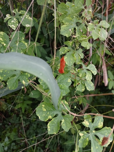
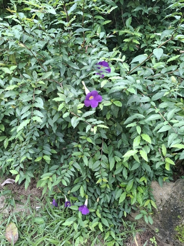
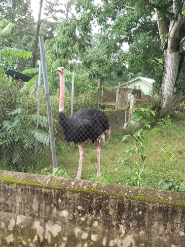


Research-grade observations from iNaturalist (within ~15 mi).
Events
Gallery
Sources
- • Wikipedia
- • Wikidata
- • iNaturalist
- • Open-Meteo / sunrise-sunset.org
- • Wikipedia Pageviews API
- • Open Library