Browse / Nigeria / Rivers / Port Harcourt
Port Harcourt
Riverscity

Port Harcourt
Total population
1,382,592
Founded
1912
Demographic figures from National Bureau of Statistics (Nigeria). Overview below cites Wikipedia and may reference a different year.
City facts
Facts from Wikidata (CC0).
Overview
Port Harcourt (Nigerian Pidgin: Po-ta-kot or Pi-ta-kwa, is a port city, capital and largest city of Rivers State in Nigeria. It is the fourth most populous city in Nigeria after Lagos, Kano and Ibadan It lies along the Bonny River and is located in the oil rich Niger Delta region. As of 2025, Port Harcourt's urban population is approximately 3,800,000. The population of the metropolitan area of Port Harcourt is almost twice its urban area population with a 2015 United Nations estimate of 2,344,000. In 1950, the population of Port Harcourt was 59,752. Port Harcourt has grown by 150,844 since 2015, which represents a 4.99% annual change.
Read more on WikipediaHistory & geography
History
Port Harcourt was founded in 1912 by Frederick Lugard, governor of both the Northern Nigeria Protectorate and the Southern Nigeria Protectorate. Its purpose was to export the coal that geologist Albert Ernest Kitson had discovered in Enugu in 1909. The colonial government caused the people of Diobu to cede their land, and in 1912 the building of a port-town was started. Other villages that were later absorbed into the city included Oroworukwo, Oromeruezimgbu, Nkpogu, and Rumuomasi; In the creeks to the south of the original port were the fishing camps and grounds of the Rebisi-ikwerre People-Ikwerre group. After the discovery of crude oil in Oloibiri in 1956, Port Harcourt exported the first shipload from Nigeria in 1958. Port Harcourt became the centre of the Nigerian oil economy and it subsequently reaped benefits of its associations with the petroleum industry by undergoing modernization and urbanization.
Geography
The main city of Port Harcourt is the Port Harcourt City in the Port Harcourt local government area, consisting of the former European quarters now called Old GRA and New Layout areas. The urban area (Port Harcourt metropolis), on the other hand, is made up of the local government area itself and parts of Obio-Akpor and Eleme accordingly. Port Harcourt, which is the current capital of Rivers State, is highly congested as it is the only major city of the state. In 2009, a law was passed by the Rivers State House of Assembly and Governor Amaechi's administration to spread development to the surrounding communities as part of the effort to decongest the Port Harcourt metropolis. The Greater Port Harcourt region, spans eight local government areas that include Port Harcourt, Okrika, Obio-Akpor, Ikwerre, Oyigbo, Ogu–Bolo, Etche and Eleme. Its total population was estimated at 2,000,000 as of 2009, making it one of the largest metropolitan areas in Nigeria. But that number has greatly increased according to recent studies. Port Harcourt features a tropical monsoon climate (Köppen: Am) with lengthy and heavy rainy seasons and very short dry seasons. Only the months of December to February truly qualify as dry season months in the city. The harmattan, which climatically influences many cities in West Africa, is less pronounced in Port Harcourt. Port Harcourt's heaviest precipitation occurs during September with an average of of rain. December on average is the driest month of the year, with an average rainfall of . Temperatures throughout the year in the city are relatively constant, showing little variation throughout the course of the year. Average temperatures are typically between in the city. The yearly temperature in Port Harcourt is 26.55 °C (79.79 °F) and…
Excerpted from the corresponding Wikipedia article (CC BY-SA).
Geography
Coordinates & boundaries from the US Census TIGER/Line shapefiles.
Climate
Air quality
Walkability
Amenities nearby
Wildlife & biodiversity
Earthquake history
Photos
Sights & places nearby
Notable people from here


People born within ~10 km, from Wikidata (CC0). Click any name for their Wikipedia article.
Geography & sun
Elevation, sunrise/sunset and daylight from Open-Meteo. Solar climatology from NASA POWER.
Nearby airports
Public attention
Pageview totals from the Wikimedia Pageviews API.
Books about Port Harcourt
Search results from Open Library.
Recent natural events nearby
Ground air-quality sensors
Recently spotted species
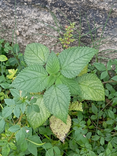







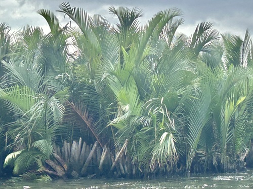
Research-grade observations from iNaturalist (within ~15 mi).
Events
Notable, recurring, and historical events associated with Port Harcourt, sourced from Wikidata.
- 2016 Africa Movie Academy AwardsJun 11, 2016award ceremony
The 2016 Africa Movie Academy Awards ceremony was held on Saturday 11 June 2016 at the Obi Wali International Conference Center in Port Harcourt, Rivers State.
- Jan 1, 2014
Source: Wikidata (CC0).
Gallery
Sources
- • Wikipedia
- • Wikidata
- • iNaturalist
- • Open-Meteo / sunrise-sunset.org
- • Wikipedia Pageviews API
- • Open Library