Browse / Nigeria / Lagos / Satellite Town
Satellite Town
Lagostown

Satellite Town
Demographic figures from National Bureau of Statistics (Nigeria). Overview below cites Wikipedia and may reference a different year.
City facts
Facts from Wikidata (CC0).
Overview
Satellite Town is a community and state housing estate located along the Lagos-Badagry Expressway in Amuwo-Odofin local government area of Lagos State. Its ZIP code is 102262. Satellite Town is a historic federal housing estate originally established in the 1960s. While it was once celebrated as a model of structured urban living, the neighborhood has faced significant challenges over the decades with deteriorating road infrastructure and seasonal flooding. Despite these issues, it remains a highly sought-after and fast-growing residential area due to its relatively affordable rent and its proximity to the Lagos-Badagry Expressway and Lagos Trade Fair Complex.
Read more on WikipediaHistory & geography
History
In early 1960, the Lagos State Government set up Satellite Town to help low income earners own their own houses, with some of the areas allocated to oil workers and private buyers. During its early years, the area was a prestigious and serene environment, often allocated to civil servants, oil workers, and private buyers who sought a structured alternative to the crowded city center. Over the decades, however, the town has faced significant challenges, including rapid urbanization and a lack of sustained government attention, which have led to a decline in its once-standard infrastructure. Despite these issues, it remains a key residential hub in Lagos and has witnessed various recent government interventions aimed at flood control and road rehabilitation. Among the planned developments in Satellite Town is the Lagos Trade Fair Complex. The Lagos International Trade Fair Complex is a facility along Lagos-Badagry expressway hosting a number of market traders. The facility was constructed in the 1970s and planned to host an international trade fair upon fulfillment. Originally a planned development, the market has fallen into disrepair and witnessed the growth of informal and illegal encroachments and construction.
Excerpted from the corresponding Wikipedia article (CC BY-SA).
Geography
Coordinates & boundaries from the US Census TIGER/Line shapefiles.
Climate
Air quality
Walkability
Amenities nearby
Wildlife & biodiversity
Earthquake history
Photos
Sights & places nearby
Notable people from here


People born within ~10 km, from Wikidata (CC0). Click any name for their Wikipedia article.
Nearby places in Lagos
Geography & sun
Elevation, sunrise/sunset and daylight from Open-Meteo. Solar climatology from NASA POWER.
Nearby airports
Public attention
Pageview totals from the Wikimedia Pageviews API.
Books about Satellite Town

Search results from Open Library.
Recent natural events nearby
Ground air-quality sensors
Recently spotted species
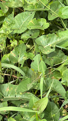

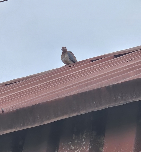

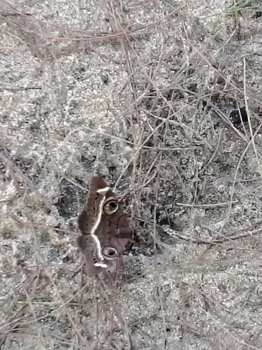
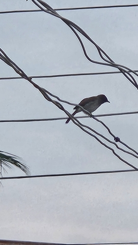

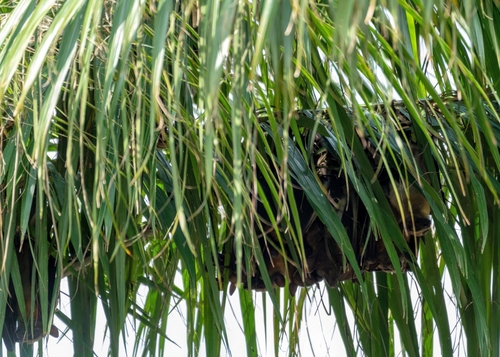
Research-grade observations from iNaturalist (within ~15 mi).
Events
Gallery
Sources
- • Wikipedia
- • Wikidata
- • iNaturalist
- • Open-Elevation
- • Open-Meteo / sunrise-sunset.org
- • Wikipedia Pageviews API
- • Open Library