Browse / Nigeria / Abia / Uturu
Uturu
Abiatown
Demographic figures from National Bureau of Statistics (Nigeria). Overview below cites Wikipedia and may reference a different year.
City facts
Overview
Uturu is a town located within latitudes 05.33°N and 06.03°N, in the northern part of Abia State, Nigeria. It is in the transition from rural to urban status, so it is witnessing many development activities. It is popularly known as a location for several educational institutions, and the Marist Brothers community. Schools in Uturu include Abia State University, Marist Brothers' Juniorate, Uturu, Gregory University, and several post-secondary schools.
Read more on WikipediaHistory & geography
Geography
Coordinates & boundaries from the US Census TIGER/Line shapefiles.
Climate
Air quality
Walkability
Amenities nearby
Wildlife & biodiversity
Earthquake history
Photos
Sights & places nearby
Notable people from here

People born within ~10 km, from Wikidata (CC0). Click any name for their Wikipedia article.
Nearby places in Abia
- Järna3719.6 mi away · pop. 1,413
- Lillgården3723.7 mi away
- Vårsta3726.4 mi away · pop. 2,396
- Tumba3729 mi away · pop. 42,344
- Dalarö3729.1 mi away
- Tullinge3730 mi away · pop. 16,894
- Vega3730.7 mi away · pop. 3,665
- Ekerö3734.9 mi away · pop. 10,907
- Ekeby3738.1 mi away
- Fisksätra3738.6 mi away
- Lilla Stenby3739.1 mi away · pop. 244
- Stockby3742.3 mi away · pop. 343
Geography & sun
Elevation, sunrise/sunset and daylight from Open-Meteo. Solar climatology from NASA POWER.
Nearby airports
Public attention
Pageview totals from the Wikimedia Pageviews API.
Books about Uturu
Search results from Open Library.
Recent natural events nearby
Ground air-quality sensors
Recently spotted species
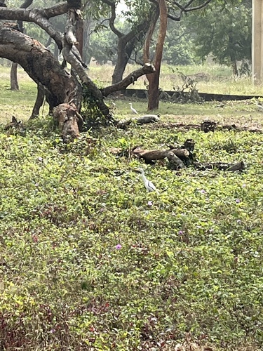

Research-grade observations from iNaturalist (within ~15 mi).
Events
Gallery
Sources
- • Wikipedia
- • Wikidata
- • iNaturalist
- • Open-Meteo / sunrise-sunset.org
- • Wikipedia Pageviews API
- • Open Library