Browse / Nigeria / Bayelsa / Yenagoa
Yenagoa
Bayelsacity
No image yet
Total population
353,344
Founded
1996
Land area1698 km²
Coordinates4.93°, 6.27°
Demographic figures from National Bureau of Statistics (Nigeria). Overview below cites Wikipedia and may reference a different year.
Loading additional data from public sources…0 / 11
CensusWikipediaWeatherPlacesPeopleEnvironmentHealth & SchoolsRelatedGeography & CultureLive MonitoringEvents & Gallery
0% completeCity facts
Founded
1996
Area
1698 km²
Facts from Wikidata (CC0).
Overview
Yenagoa is a Local Government Area and capital city of Bayelsa State, Southern Nigeria. It is located in the Niger Delta region of the country at coordinates 4°55′29″N 6°15′51″E.
Read more on WikipediaHistory & geography
Geography
Latitude
4.9335
Longitude
6.2748
Water area
—
Coordinates & boundaries from the US Census TIGER/Line shapefiles.
Climate
Air quality
Walkability
Amenities nearby
Wildlife & biodiversity
Earthquake history
Photos
Sights & places nearby
Notable people from here
I
Ikechukwu Ezenwa
Nigerian association football player
E
Emmanuel Ukpai
Nigerian footballer
F
Fred Jessey
Olympic wrestler
M
Marshall Stanley Uwom
Nigerian lawyer and politician
I
Ihuarulam Uche
Nigerian footballer
V
Victory Beniangba
Nigerian footballer
P
Precious Benjamin
Nigerian footballer
People born within ~10 km, from Wikidata (CC0). Click any name for their Wikipedia article.
Nearby places in Bayelsa
Geography & sun
Nearby airports
Public attention
Books about this place
Recent natural events nearby
Ground air-quality sensors
Recently spotted species
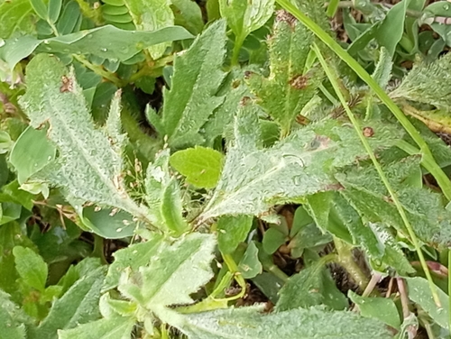
Tridax Daisy
Tridax procumbens
Seen 2026-05-05
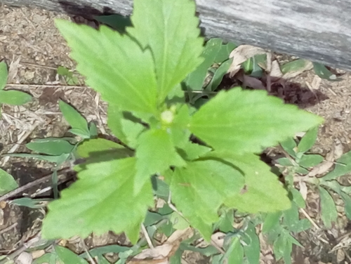
pussyfoot
Praxelis clematidea
Seen 2026-05-01
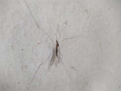
Maekistocera filipes
Maekistocera filipes
Seen 2024-11-14
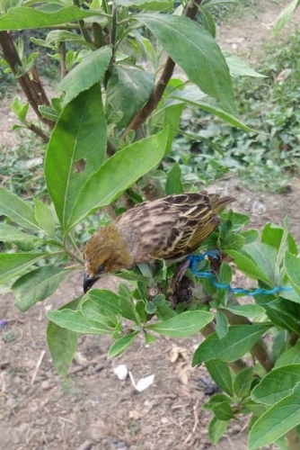
Village Weaver
Ploceus cucullatus
Seen 2024-01-18
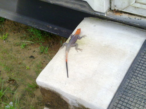
Rainbow Agama
Agama agama
Seen 2010-08-06
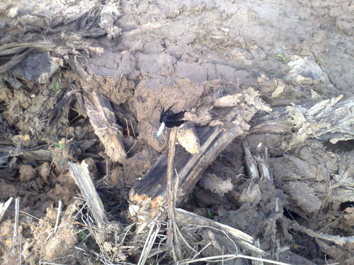
Lucia Widow
Palpopleura lucia
Seen 2009-05-23
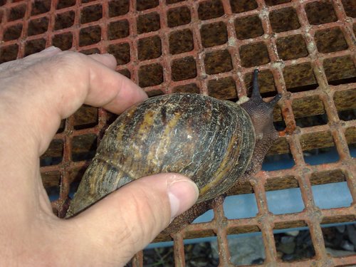
Giant West African Snail
Archachatina marginata
Seen 2009-05-06
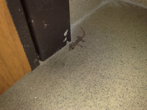
West African House Gecko
Hemidactylus angulatus
Seen 2009-04-01
Research-grade observations from iNaturalist (within ~15 mi).
Events
Gallery
Sources
- • Wikipedia
- • Wikidata
- • iNaturalist