Browse / United States / New Hampshire / Bethlehem
Bethlehem
New HampshireCDP

Bethlehem
Total population
1,058
Median home value
$262,000
Bachelor's+
Median income
$64,625
Founded
1799
Air quality index
Demographic figures from US Census Bureau · ACS 5-year estimates. Overview below cites Wikipedia and may reference a different year.
- Special Weather Statement · ModerateSpecial Weather Statement issued May 24 at 12:25PM EDT by NWS Gray ME
Source: NOAA National Weather Service.
City facts
Facts from Wikidata (CC0).
Overview
Bethlehem is a hillside town in Grafton County, New Hampshire, United States. The population was 2,484 at the 2020 census. It is home to Cushman and Strawberry Hill state forests. The eastern half of the town is within the White Mountain National Forest. The Appalachian Trail crosses a small portion of the town in the south.
Read more on WikipediaHistory & geography
History
Granted as "Lloyd's Hills" in 1774 by colonial Governor John Wentworth, the town was named for James Lloyd of Boston. It was the last of the provincial grants in New Hampshire. In the aftermath of the Revolutionary War, the original grant could not be found. Lack of documentation deterred settlement until 1787, when the first permanent houses were built. Dropping its homage to Lloyd, a Loyalist, the town was incorporated as "Bethlehem" on December 27, 1799, the name having been selected on Christmas Day. There were just 33 families, with agriculture the only industry. By 1850, the population had grown to 950, and the town contained a gristmill, five large sawmills, and two starch factories. In 1867, the railroad came to Bethlehem Junction. With it traveled tourists from Boston, New York and elsewhere, many to avoid respiratory ailments in the low pollen count environment of "the highest town in New Hampshire" (as claimed on a present-day sign in the village). Others were attracted by the paintings of the White Mountain artists. Conveniently located near Mount Washington and other attractions of the White Mountains, Bethlehem developed into a Gilded Age resort for the rich and famous. In 1873, at the beginning of a building boom, Governor Henry Howard of Rhode Island built Howard House. Eventually, over 30 hotels would line Bethlehem's streets. Seven trains arrived daily, some direct from Grand Central Terminal, stopping at Bethlehem's five depots. Patrons included Presidents Grant, Hayes, Roosevelt, Taft and Harding, as well as author Thornton Burgess and poet Robert Frost. Entertainments included strolling Main Street on a two and a half mile raised boardwalk, carriage rides in the countryside, croquet games, or simply lounging about the hotels' sweeping piazzas.…
Geography
According to the United States Census Bureau, the town has a total area of , of which are land and are water, comprising 0.39% of the town. Bethlehem is drained by the Ammonoosuc, Gale, Zealand and Little rivers, together with Tuttle, Baker and Haystack brooks. Mount Cleveland, elevation , and Mount Agassiz, , rise to the south of the center of town. Town boundaries contain several of the famous 4,000-footers of New Hampshire: North Twin Mountain (the highest point in Bethlehem at ), Mount Hale, Mount Tom, Mount Field, and Mount Willey. Bethlehem lies almost fully within the Connecticut River watershed, though a tiny portion of the southeastern corner of the town is in the Merrimack River watershed, and an even smaller portion on the eastern side of the Willey Range is in the Saco River watershed.
Excerpted from the corresponding Wikipedia article (CC BY-SA).
Demographics & economy
Race & ethnicity
Source: US Census Bureau — American Community Survey, 5-year estimates.
Geography
Coordinates & boundaries from the US Census TIGER/Line shapefiles.
Climate
10-year averages from ERA5 reanalysis (Open-Meteo).
Current forecast
Forecast for Bethlehem, NH from NOAA NWS API.
Air quality
Current readings from Open-Meteo Air Quality API (Copernicus CAMS European reanalysis).
Industrial & pollution facilities
Natural hazard risk
Health (adults)
Age-adjusted prevalence estimates from CDC PLACES (latest release).
Walkability
Amenities nearby
Wildlife & biodiversity
Most-observed species
- Black-capped ChickadeePoecile atricapillus (Linnaeus, 1766) · Aves5,801
- American CrowCorvus brachyrhynchos C.L.Brehm, 1822 · Aves5,139
- Blue JayCyanocitta cristata (Linnaeus, 1758) · Aves4,823
- American RobinTurdus migratorius Linnaeus, 1766 · Aves4,395
- Red-breasted NuthatchSitta canadensis Linnaeus, 1766 · Aves3,781
- Song SparrowMelospiza melodia (A.Wilson, 1810) · Aves3,273
- Red-eyed VireoVireo olivaceus (Linnaeus, 1766) · Aves3,195
- American GoldfinchSpinus tristis (Linnaeus, 1758) · Aves3,138
Citizen-science & research observations from the Global Biodiversity Information Facility (GBIF).
Schools
Largest nearby schools
- Mildred C. Lakeway SchoolElementary · Littleton · 345 students · 10.1:1 ratio
- Littleton High SchoolHigh · Littleton · 204 students · 8.2:1 ratio
- Bethlehem Elementary SchoolElementary · Bethlehem · 151 students · 10.1:1 ratio
- Profile Senior High SchoolHigh · Bethlehem · 146 students · 8.6:1 ratio
- Daisy Bronson Junior High SchoolMiddle · Littleton · 103 students · 12.9:1 ratio
- Lafayette Regional SchoolElementary · Franconia · 88 students · 11:1 ratio
- Profile Junior High SchoolMiddle · Bethlehem · 64 students · 6.4:1 ratio
- North Country Charter Academy (H)High · Littleton · 46 students · 15.3:1 ratio
Public K–12 schools within ~10 mi from Urban Institute Education Data Portal (NCES Common Core of Data, 2022).
Earthquake history
Most recent
- M 2.6 — 2024-06-183 km SE of Haverhill, New Hampshire
- M 2.9 — 2023-04-254 km SW of Center Sandwich, New Hampshire
- M 2.9 — 2022-02-040 km SSW of Gorham, New Hampshire
- M 2.51 — 2011-07-084 km NE of Newbury, Vermont
- M 2.5 — 2011-01-036 km NNE of Holderness, New Hampshire
- M 2.5 — 2009-11-19Maine
Events from the USGS Earthquake Catalog (global) (FDSN Event Web Service).
Photos
Sights & places nearby
Notable people from here


People born within ~10 km, from Wikidata (CC0). Click any name for their Wikipedia article.
Nearby places in New Hampshire
- Littleton5.3 mi away
- Whitefield7.5 mi away
- Lisbon11.9 mi away · pop. 730
- Lincoln15.1 mi away · pop. 923
- Lancaster15.6 mi away
- North Woodstock16.5 mi away
- Mountain Lakes17 mi away · pop. 354
- Woodsville19.2 mi away
- North Haverhill20.9 mi away · pop. 728
- Groveton24.5 mi away · pop. 834
- Bartlett24.6 mi away · pop. 312
- Berlin24.8 mi away
Geography & sun
Elevation, sunrise/sunset and daylight from Open-Meteo. Solar climatology from NASA POWER.
Nearby airports
Public attention
Pageview totals from the Wikimedia Pageviews API.
Books about Bethlehem

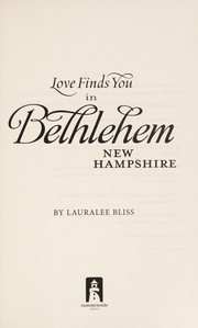


Search results from Open Library.
Recent natural events nearby
Ground air-quality sensors
Recently spotted species
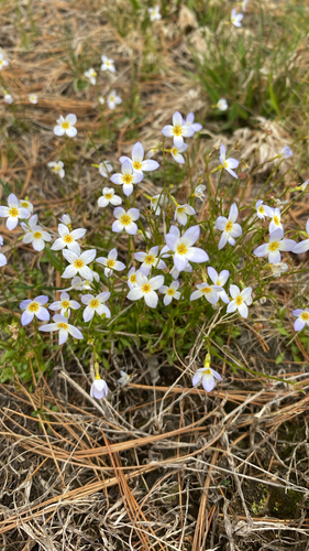


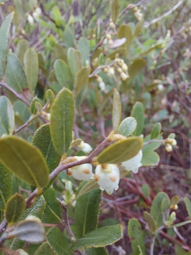
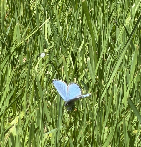
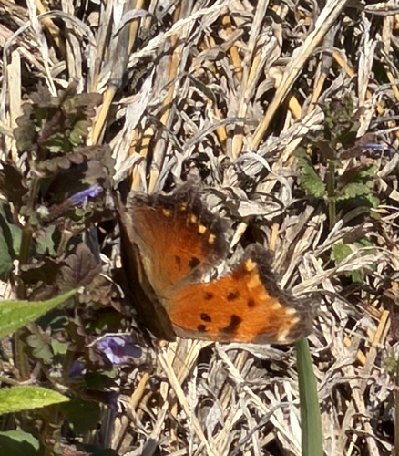

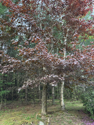
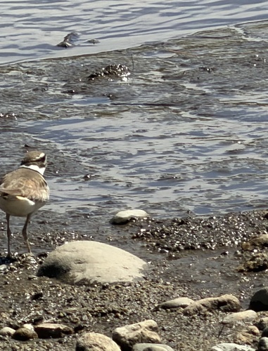
Research-grade observations from iNaturalist (within ~15 mi).
Nearest stream gauge
Live readings from USGS NWIS · measured 2026-05-24 15:30 UTC.
Events
Gallery
Sources
- • Wikipedia
- • US Census Bureau (ACS 5-year estimates)
- • Open-Meteo (ERA5 reanalysis)
- • NOAA National Weather Service
- • Wikidata
- • Open-Meteo Air Quality (CAMS)
- • USGS Earthquake Catalog (global feed)
- • USGS NWIS (water data)
- • NCES via Urban Institute Education Data Portal
- • GBIF (Global Biodiversity Information Facility)
- • iNaturalist
- • CDC PLACES
- • Open-Elevation
- • Open-Meteo / sunrise-sunset.org
- • Wikipedia Pageviews API
- • Open Library
- • Wikidata SPARQL (CC0) — population, area, elevation, inception, head of government, Commons image