Browse / United States / New Hampshire / Milton
Milton
New HampshireCDP

Milton
Total population
356
Median home value
$240,400
Bachelor's+
Median income
$48,125
Demographic figures from US Census Bureau · ACS 5-year estimates. Overview below cites Wikipedia and may reference a different year.
City facts
Overview
Milton is a town in Strafford County, New Hampshire, United States. The population was 4,482 at the 2020 census. A manufacturing, resort and residential town, Milton includes the village of Milton Mills. The primary village in town, where 593 people resided at the 2020 census, is defined as the Milton census-designated place (CDP), and is located along New Hampshire Route 125 and the Salmon Falls River, just north of Route 75.
Read more on WikipediaHistory & geography
History
Originally a part of Rochester variously called the "Northeast Parish", "Three Ponds" or "Milton Mills", the town was settled in 1760. It was set off and incorporated in 1802 as "Milton", the name either a contraction of "mill town", or else derived from a relative of the Wentworth colonial governors—William Fitzwilliam, Earl Fitzwilliam and Viscount Milton. The town of Fitzwilliam also bears his name. The high concentration of water-powered industries in Milton caused Ira W. Jones to found and operate an engineering firm from offices on Main Street in Milton. The company did business as I W Jones Engineers. In 1893 Jonas Spaulding opened a leatherboard mill in Milton, organizing the business as J. Spaulding and Sons. His sons were Leon C., Huntley N. and Rolland H., of whom Huntley and Rolland would serve as governors of New Hampshire. Jonas and his sons would undertake the construction of another leatherboard mill in North Rochester around 1900. Jonas died before the North Rochester mill became operational. The brothers continued to run the business successfully and brought the Spaulding Brothers leatherboard mill in Townsend Harbor, Massachusetts, under the J. Spaulding and Sons banner in 1902. They were successful with a machine to manufacture shoe counters and with experiments to make vulcanized fiber. In 1912 they opened a purpose-built facility to make vulcanized fiber in Tonawanda, New York. In 1913 J. Spaulding and Sons opened a second leatherboard mill in Milton. They also acquired the Kennebunk Manufacturing Company (KEMACO), which made lunch boxes and violin cases using leatherboard and vulcanized fiber and at one time had facilities in Milton as well. The town contains some distinctive architecture, particularly the Milton Town House, built in 1808, and…
Geography
The main village of Milton is in the southern part of the town, along the west side of the Salmon Falls River at the outlet of Milton Pond. The village of Milton Mills is in the northern part of the town, by road north of Milton village. The Spaulding Turnpike (New Hampshire Route 16) runs north to south through Milton, with access from Exit 17 (New Hampshire Route 75) in the south, near Milton village, and from Exit 18 (New Hampshire Route 125) in the north, just south of the Wakefield town line. According to the United States Census Bureau, the town has a total area of , of which are land and are water, comprising 3.57% of the town. Milton is drained by the Salmon Falls River, which forms the eastern boundary of the town and the New Hampshire–Maine state line. The town is part of the Piscataqua River watershed. Teneriffe Mountain is the highest point in Milton, with the summit reaching above sea level. * Wakefield (north) * Acton, Maine (northeast) * Lebanon, Maine (east) * Rochester (south) * Farmington (southwest) * Middleton (northwest)
Excerpted from the corresponding Wikipedia article (CC BY-SA).
Demographics & economy
Race & ethnicity
Source: US Census Bureau — American Community Survey, 5-year estimates.
Geography
Coordinates & boundaries from the US Census TIGER/Line shapefiles.
Climate
Current forecast
Forecast for Milton, NH from NOAA NWS API.
Air quality
Industrial & pollution facilities
Natural hazard risk
Health (adults)
Age-adjusted prevalence estimates from CDC PLACES (latest release).
Walkability
Amenities nearby
Wildlife & biodiversity
Schools
Largest nearby schools
- Spaulding High SchoolHigh · Rochester · 1,301 students · 14:1 ratio
- Rochester Middle SchoolMiddle · Rochester · 847 students · 12.8:1 ratio
- McClelland SchoolElementary · Rochester · 346 students · 14.4:1 ratio
- Chamberlain Street SchoolElementary · Rochester · 298 students · 11:1 ratio
- East Rochester SchoolElementary · E. Rochester · 293 students · 14.7:1 ratio
- Henry Wilson Memorial SchoolMiddle · Farmington · 287 students · 9:1 ratio
- William Allen SchoolElementary · Rochester · 281 students · 13.4:1 ratio
- Valley View Community SchoolElementary · Farmington · 266 students · 10.6:1 ratio
Public K–12 schools within ~10 mi from Urban Institute Education Data Portal (NCES Common Core of Data, 2022).
Earthquake history
Photos
Sights & places nearby
Notable people from here


People born within ~10 km, from Wikidata (CC0). Click any name for their Wikipedia article.
Geography & sun
Elevation, sunrise/sunset and daylight from Open-Meteo. Solar climatology from NASA POWER.
Nearby airports
Public attention
Pageview totals from the Wikimedia Pageviews API.
Books about Milton
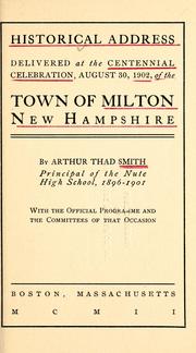
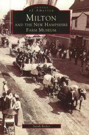
Search results from Open Library.
Recent natural events nearby
Ground air-quality sensors
Recently spotted species
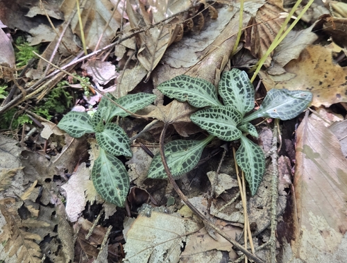

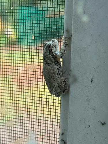

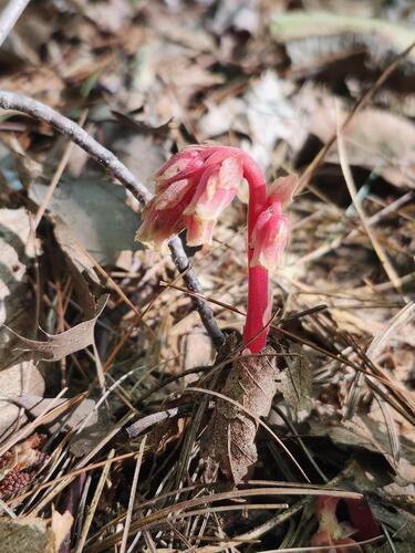



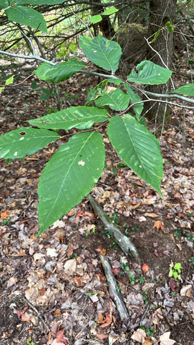
Research-grade observations from iNaturalist (within ~15 mi).
Nearest stream gauge
Live readings from USGS NWIS · measured 2026-09-17 16:00 UTC.
Events
Gallery
Sources
- • Wikipedia
- • US Census Bureau (ACS 5-year estimates)
- • NOAA National Weather Service
- • Wikidata
- • USGS NWIS (water data)
- • NCES via Urban Institute Education Data Portal
- • iNaturalist
- • CDC PLACES
- • Open-Meteo / sunrise-sunset.org
- • Wikipedia Pageviews API
- • Open Library