Browse / Nicaragua / Nicaragua / Managua
Managua
Nicaraguacity

Managua
Total population
1,030,926
Founded
1819
Demographic figures from INIDE Nicaragua. Overview below cites Wikipedia and may reference a different year.
City facts
Sister cities
Facts from Wikidata (CC0).
Overview
Managua is the capital and largest city of Nicaragua, and one of the largest cities in Central America. Located on the shores of Lake Managua, the city had an estimated population of 1,063,815 as of 2023, and a population of 1,401,687 in its metropolitan area. The city also serves as the seat of Managua Department.
Read more on WikipediaHistory & geography
History
Managua (and the entire area of Nicaragua) was inhabited by Paleo-Indians as far back as 12,000 BC. The ancient footprints of Acahualinca are 2,100-year-old fossils discovered along the shores of Lake Managua. Other archeological evidence, mainly in the form of ceramics and statues made of volcanic stone, like the ones found on the island of Zapatera, and petroglyphs found on Ometepe island, contribute to the increasing knowledge of Nicaragua's ancient history. Founded as a pre-Columbian fishing town, the city was incorporated in 1819 and given the name Leal Villa de Santiago de Managua. Efforts to make Managua the capital of Nicaragua began in 1824, after the Central American nations formally attained their independence from Spain. Nicaragua became an independent nation in 1838. Managua's location between the rival cities of León and Granada made it a logical compromise site. Hence, Managua was officially selected as the nation's capital in 1852. Between 1852 and 1930, Managua underwent extensive urbanization, becoming a base of governance, infrastructure and services. destroyed much of the city, killing between 1,000 and 2,450 people. A large fire in 1936 also destroyed much of the city. Under the rule of Anastasio Somoza García and his family (1936–1979), the city was rebuilt and began to grow rapidly. New government buildings were erected, industry developed, and universities were established. The city's development caught the attention of Irving Fields and Albert Gamse, who composed a musical piece about the city that became popular in the 1940s through the performances of Freddy Martin, Guy Lombardo and Kay Kyser. Managua's progress came to a sudden halt after it suffered a second major earthquake on December 23, 1972, which destroyed 90% of the city's…
Geography
Managua is located on the southern shores of Lake Managua, also known as Lake Xolotlán. Lake Managua contains the same fish species as larger Lake Cocibolca in southeastern Nicaragua, except for the freshwater sharks found exclusively in the latter. Once a Managuan scenic highlight, the lake has been polluted from the dumping of chemical and waste water since 1927. A new sewer system and the redirecting of waste water to a new waste water treatment plant at Las Mercedes funded by the German government to decontaminate the lake was expected to be the largest in Central America and was inaugurated in 2009. These works of progress have relieved old concerns over water pollution and the endangering of native wildlife have brought some residents closer to the old city center and the rest of the mainland. Managua's city area extends about , essentially south from the south shore of Lake Managua. The lakeshore is at an altitude of above sea level, and the city climbs as it gets towards the Sierras de Managua further south where it is over above sea level. Geologically, the city lies on fault lines, thus seismologists predict that Managua will experience a severe earthquake every 50 years or less. Managua, like much of Western Nicaragua, except for the Sierras, has a tropical climate with constant temperatures averaging between . Under Köppen's climate classification, the city has a tropical wet and dry climate (Aw). The city spends most of the year seeing strong heat and a bright shining sun. The temperature varies from at night to during the daytime. Temperatures are highest in March, April and May when the sun lies directly overhead and the summer rainfall has yet to begin. As stated before Managua only has two seasons, the dry and the rainy. The rainy season…
Excerpted from the corresponding Wikipedia article (CC BY-SA).
Geography
Coordinates & boundaries from the US Census TIGER/Line shapefiles.
Climate
10-year averages from ERA5 reanalysis (Open-Meteo).
Air quality
Walkability
Amenities nearby
Wildlife & biodiversity
Most-observed species
- White-winged DoveZenaida asiatica (Linnaeus, 1758) · Aves11,284
- Clay-colored ThrushTurdus grayi Bonaparte, 1838 · Aves9,776
- Great-tailed GrackleQuiscalus mexicanus (Gmelin, 1788) · Aves8,855
- Tropical KingbirdTyrannus melancholicus Vieillot, 1819 · Aves8,487
- Hoffmann's WoodpeckerMelanerpes hoffmannii (Cabanis, 1862) · Aves7,595
- Great KiskadeePitangus sulphuratus (Linnaeus, 1766) · Aves7,434
- Cinnamon-bellied SaltatorSaltator grandis (Deppe, 1830) · Aves7,276
- Blue-gray TanagerThraupis episcopus (Linnaeus, 1766) · Aves7,176
Citizen-science & research observations from the Global Biodiversity Information Facility (GBIF).
Earthquake history
Most recent
- M 4.6 — 2026-08-028 km N of Belén, Nicaragua
- M 4.3 — 2026-07-1747 km W of Villa El Carmen, Nicaragua
- M 5.2 — 2026-06-269 km WSW of El Crucero, Nicaragua
- M 4.3 — 2026-05-2912 km N of Belén, Nicaragua
- M 4.4 — 2026-05-1322 km WSW of Masachapa, Nicaragua
- M 4.5 — 2026-05-0450 km WSW of Masachapa, Nicaragua
Events from the USGS Earthquake Catalog (global) (FDSN Event Web Service).
Photos
Sights & places nearby
Notable people from here


People born within ~10 km, from Wikidata (CC0). Click any name for their Wikipedia article.
Nearby places in Nicaragua
- Bazargan7670.8 mi away · pop. 9,000
- Tazeh Shahr7734.6 mi away · pop. 8,629
- Khamaneh7774.2 mi away · pop. 3,056
- Bonab-e-Jadid7776.1 mi away · pop. 4,430
- Parsabad7806.1 mi away · pop. 81,782
- Tabriz7807.8 mi away · pop. 1,558,693
- Shinabad7817.2 mi away
- Bostanabad7840.6 mi away · pop. 16,592
- Sarab7866 mi away · pop. 45,000
- Sareyn7879.3 mi away · pop. 5,459
- Shahindezh7879.3 mi away · pop. 38,396
- Ardabil7884.2 mi away · pop. 482,632
Geography & sun
Elevation, sunrise/sunset and daylight from Open-Meteo. Solar climatology from NASA POWER.
Nearby airports
Public attention
Pageview totals from the Wikimedia Pageviews API.
Books about Managua

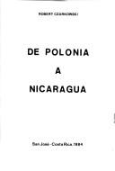
Search results from Open Library.
Recent natural events nearby
- Telica Volcano, NicaraguaVolcanoes · 2026-05-30 · 49 mi
Wildfires, storms and other events from NASA EONET (last 12 months, within 250 mi).
Ground air-quality sensors
Recently spotted species
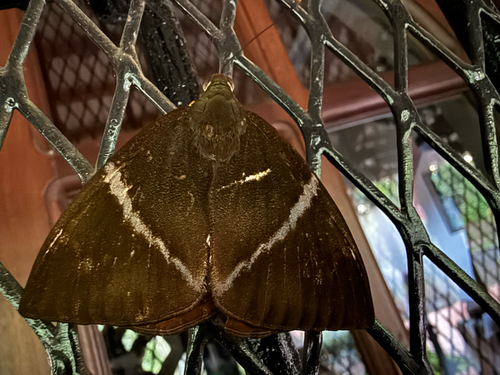
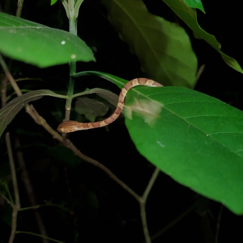
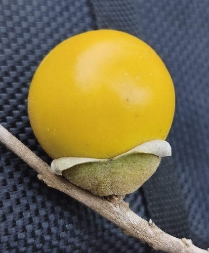
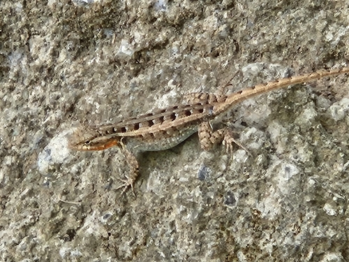
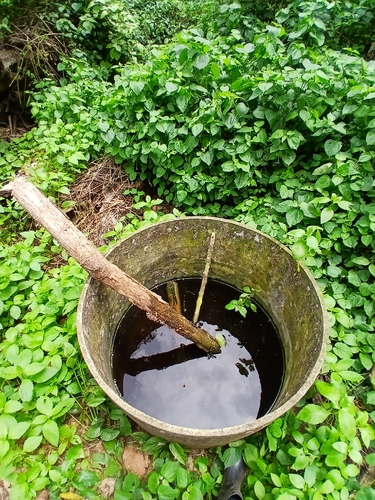
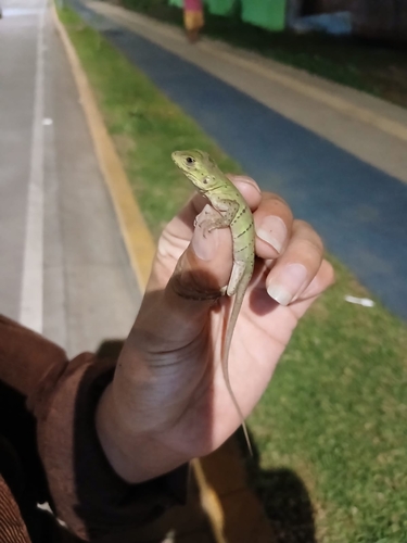
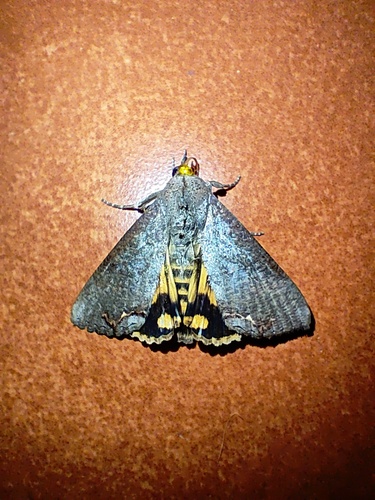
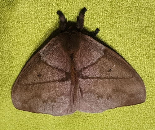
Research-grade observations from iNaturalist (within ~15 mi).
Events
Notable, recurring, and historical events associated with Managua, sourced from Wikidata.
- Q43785259Jan 1, 1972planned event
Source: Wikidata (CC0).
Gallery
Geotagged photos within ~6 miles of Managua, from Wikimedia Commons contributors.
.jpg) 0.1 mi
0.1 mi 0.1 mi
.jpg) 0.1 mi
0.1 mi 0.1 mi
 0.1 mi
 0.1 mi
_-_panoramio.jpg) 0.2 mi
0.2 mi 0.2 mi
 0.2 mi
 0.2 mi
_01_CH.jpg) 0.2 mi
0.2 mi_01_CH_(cropped).jpg) 0.2 mi
0.2 mi.png) 0.2 mi
0.2 mi.jpg) 0.3 mi
0.3 mi.jpg) 0.3 mi
0.3 mi.jpg) 0.3 mi
0.3 mi.jpg) 0.3 mi
0.3 mi.jpg) 0.3 mi
0.3 mi.jpg) 0.3 mi
0.3 mi.jpg) 0.3 mi
0.3 mi 0.3 mi
 0.3 mi
 0.3 mi
 0.3 mi
Photos via Wikimedia Commons — see each image page for license & attribution.
Sources
- • Wikipedia
- • Open-Meteo (ERA5 reanalysis)
- • Wikimedia Commons
- • Wikidata
- • USGS Earthquake Catalog (global feed)
- • GBIF (Global Biodiversity Information Facility)
- • iNaturalist
- • Open-Meteo / sunrise-sunset.org
- • Wikipedia Pageviews API
- • Open Library
- • NASA EONET