Browse / Nicaragua / Nicaragua / Wiwilí de Nueva Segovia
Wiwilí de Nueva Segovia
Nicaraguatown
Total population
3,467
Demographic figures from INIDE Nicaragua. Overview below cites Wikipedia and may reference a different year.
City facts
Overview
Wiwilí de Nueva Segovia, a town in Nicaragua, forms part of the country's settled landscape. Its coordinates of 13.627°, -85.826° place it in the tropical zone of the northern hemisphere. The population stands at approximately 3,467. Long-term weather observations show average highs near 86.5°F and lows near 71°F with about 56.6 in of annual precipitation (a wet total). Open solar datasets indicate about 1,689 kWh/m² of solar irradiance per year, combined with sunshine for roughly 66% of daylight hours. Its latitude implies a climate characterised by warm temperatures throughout the year with pronounced wet and dry seasons. Detailed open-data panels follow, covering demographics, climate, geography, wildlife and nearby settlements.
Summary composed automatically from structured open data on this page. See our Terms for details.
History & geography
Geography
Coordinates & boundaries from the US Census TIGER/Line shapefiles.
Climate
10-year averages from ERA5 reanalysis (Open-Meteo).
Air quality
Walkability
Amenities nearby
Wildlife & biodiversity
Most-observed species
- Melodious BlackbirdDives dives (Deppe, 1830) · Aves94
- Black-headed SaltatorSaltator atriceps (R.Lesson, 1832) · Aves74
- Clay-colored ThrushTurdus grayi Bonaparte, 1838 · Aves73
- Keel-billed ToucanRamphastos sulfuratus R.Lesson, 1830 · Aves69
- Brown JayPsilorhinus morio (Wagler, 1829) · Aves66
- Golden-olive WoodpeckerColaptes rubiginosus (Swainson, 1820) · Aves66
- Band-backed WrenCampylorhynchus zonatus (Lesson, 1832) · Aves62
- Lesson's MotmotMomotus lessonii R.Lesson, 1842 · Aves56
Citizen-science & research observations from the Global Biodiversity Information Facility (GBIF).
Earthquake history
Most recent
- M 4.1 — 2019-05-1315 km NNW of Muy Muy, Nicaragua
- M 3.9 — 2016-11-1514 km SW of Jinotega, Nicaragua
- M 4.4 — 2009-03-3113 km SSW of Quilalí, Nicaragua
- M 4.2 — 2004-04-2220 km NE of Murra, Nicaragua
- M 4.2 — 2004-04-2210 km NNE of Quilalí, Nicaragua
- M 3.6 — 2003-11-184 km NW of San Dionisio, Nicaragua
Events from the USGS Earthquake Catalog (global) (FDSN Event Web Service).
Photos
Sights & places nearby
Notable people from here
Nearby places in Nicaragua
- Bazargan7572.6 mi away · pop. 9,000
- Tazeh Shahr7637.1 mi away · pop. 8,629
- Khamaneh7676.3 mi away · pop. 3,056
- Bonab-e-Jadid7677.9 mi away · pop. 4,430
- Parsabad7706.5 mi away · pop. 81,782
- Tabriz7709.8 mi away · pop. 1,558,693
- Shinabad7720.4 mi away
- Bostanabad7742.5 mi away · pop. 16,592
- Sarab7767.6 mi away · pop. 45,000
- Sareyn7780.5 mi away · pop. 5,459
- Shahindezh7781.9 mi away · pop. 38,396
- Ardabil7785.3 mi away · pop. 482,632
Geography & sun
Elevation, sunrise/sunset and daylight from Open-Meteo. Solar climatology from NASA POWER.
Nearby airports
Public attention
Books about this place
Recent natural events nearby
Ground air-quality sensors
Recently spotted species
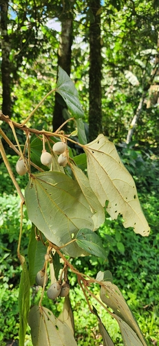
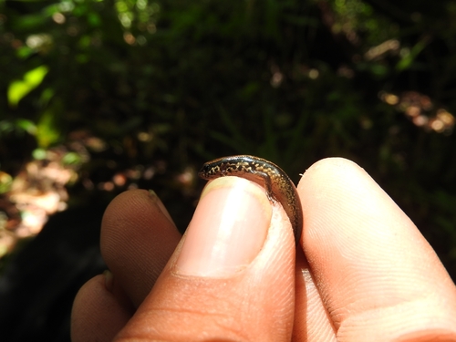
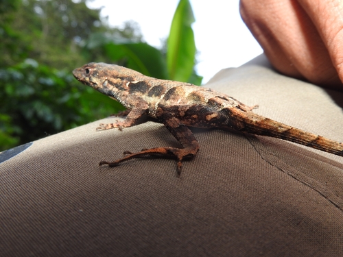
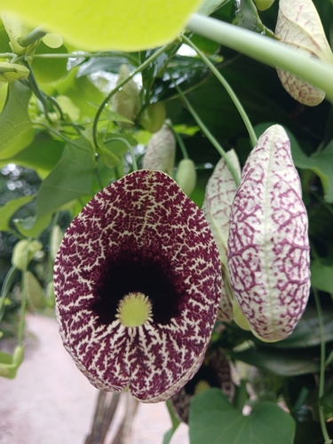

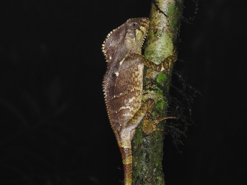
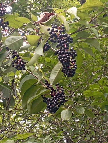
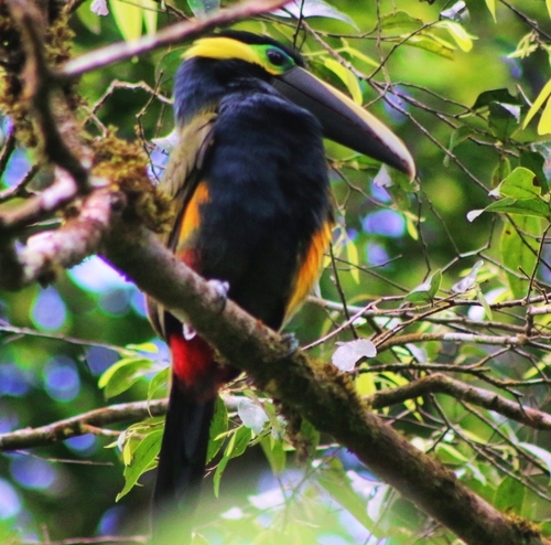
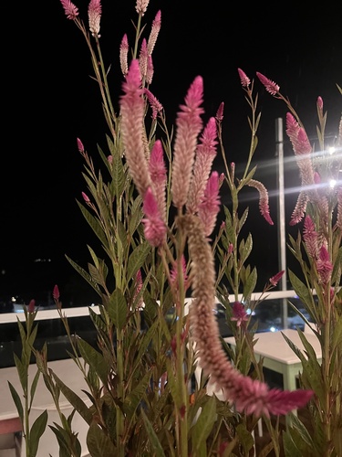
Research-grade observations from iNaturalist (within ~15 mi).
Events
Gallery
Sources
- • Open-Meteo (ERA5 reanalysis)
- • USGS Earthquake Catalog (global feed)
- • GBIF (Global Biodiversity Information Facility)
- • iNaturalist
- • Open-Meteo / sunrise-sunset.org