Browse / United States / New Jersey / Clinton
Clinton
New Jerseytown

Clinton
Total population
2,789
Median home value
$436,200
Bachelor's+
Median income
$141,146
Founded
1865
Air quality index
Demographic figures from US Census Bureau · ACS 5-year estimates. Overview below cites Wikipedia and may reference a different year.
City facts
Facts from Wikidata (CC0).
Overview
Clinton is a town in Hunterdon County, in the U.S. state of New Jersey. It is located on the South Branch of the Raritan River in the Raritan Valley region. As of the 2020 United States census, the town's population was 2,773, an increase of 54 (+2.0%) from the 2010 census count of 2,719, which in turn reflected an increase of 87 (+3.3%) from the 2,632 counted in the 2000 census. Despite its relatively small population, Clinton is the predominant control city for Interstate 78 traveling westbound from Newark.
Read more on WikipediaHistory & geography
History
When the Clinton post office was established in 1829, it was named for DeWitt Clinton, Governor of New York and the primary impetus behind the then-newly completed Erie Canal. Clinton was incorporated as a town by an act of the New Jersey Legislature on April 5, 1865, within portions of Clinton, Franklin and Union Townships. Clinton gained full independence from its three parent townships in 1895. The town is perhaps best known for its two mills which sit on opposite banks of the South Branch Raritan River. The Red Mill, with its historic village, dates back to 1810 with the development of a mill for wool processing. Across the river sits the Stone Mill, home of the Hunterdon Art Museum, located in a former gristmill that had been reconstructed in 1836 and operated continuously until 1952. In 1952, a group of local residents conceived of a plan to convert the historic building into an art museum, which is still in operation today. On October 30, 1891, a major fire destroyed 23 buildings and 17 businesses on Main Street. This is known here as the Great Fire of 1891. The Clinton Historic District encompassing much of the town was added to the National Register of Historic Places in 1995 for its significance in architecture, commerce, engineering, industry and exploration/settlement. The district includes 270 contributing buildings. In 1998, Republican Assemblyman Michael Patrick Carroll proposed to honor former president Ronald Reagan by changing the town's name to Reagan, New Jersey, and renaming Clinton Township to Reagan Township.
Geography
According to the U.S. Census Bureau, the town had a total area of 1.44 square miles (3.72 km2), including 1.35 square miles (3.49 km2) of land and 0.09 square miles (0.24 km2) of water (6.39%). Clinton is considered an exurb of New York City, as Hunterdon County lies on the western fringe of the New York City Metropolitan Area, which is mainly rural with scattered housing developments and old farm homes. Clinton is part of the Primary Metropolitan Statistical Area of Middlesex, Somerset and Hunterdon counties in New Jersey. It serves as a bedroom community for many commuters working in and around Northern New Jersey and New York City, often younger residents who have supplanted long-time residents of Clinton. Clinton falls under the North Jersey climate zone. According to the Office of the New Jersey State Climatologist at Rutgers University, the Northern climate zone covers about one-quarter of New Jersey and consists mainly of elevated highlands and valleys which are part of the Appalachian Uplands. Surrounded by land, this region can be characterized as having a continental climate with minimal influence from the Atlantic Ocean, except when the winds contain an easterly component. Prevailing winds are from the southwest in summer and from the northwest in winter. Being in the northernmost portion of the state, and with small mountains up to in elevation, the Northern Zone normally exhibits a colder temperature regime than other climate regions of the State of New Jersey. This difference is most dramatic in winter when average temperatures in the Northern Zone can be more than ten degrees Fahrenheit cooler than in the Coastal Zone. Annual snowfall averages in the northern zone as compared with an average of in the extreme south. Clinton falls…
Excerpted from the corresponding Wikipedia article (CC BY-SA).
Demographics & economy
Race & ethnicity
Source: US Census Bureau — American Community Survey, 5-year estimates.
Geography
Coordinates & boundaries from the US Census TIGER/Line shapefiles.
Climate
Current forecast
Forecast for Clinton, NJ from NOAA NWS API.
Air quality
Current readings from Open-Meteo Air Quality API (Copernicus CAMS European reanalysis).
Industrial & pollution facilities
Natural hazard risk
Health (adults)
Age-adjusted prevalence estimates from CDC PLACES (latest release).
Walkability
Amenities nearby
Wildlife & biodiversity
Most-observed species
- Blue JayCyanocitta cristata (Linnaeus, 1758) · Aves23,228
- Northern CardinalCardinalis cardinalis (Linnaeus, 1758) · Aves22,282
- Song SparrowMelospiza melodia (A.Wilson, 1810) · Aves22,153
- American CrowCorvus brachyrhynchos C.L.Brehm, 1822 · Aves20,707
- Red-bellied WoodpeckerMelanerpes carolinus (Linnaeus, 1758) · Aves20,647
- American RobinTurdus migratorius Linnaeus, 1766 · Aves19,823
- Canada Goose (canadensis Group)Branta canadensis (Linnaeus, 1758) · Aves19,387
- Turkey VultureCathartes aura (Linnaeus, 1758) · Aves17,276
Citizen-science & research observations from the Global Biodiversity Information Facility (GBIF).
Schools
Largest nearby schools
- Hunterdon Central Regional High School DistrictHigh · Flemington · 2,486 students · 10.5:1 ratio
- North Hunterdon High SchoolHigh · Annandale · 1,237 students · 10.5:1 ratio
- Delaware Valley Regional High SchoolHigh · Frenchtown · 722 students · 12.2:1 ratio
- Reading-Fleming Intermediate SchoolMiddle · FLEMINGTON · 710 students · 10:1 ratio
- Voorhees High SchoolHigh · Glen Gardner · 672 students · 9.3:1 ratio
- Readington Middle SchoolMiddle · WHITEHOUSE STATION · 492 students · 7.5:1 ratio
- Clinton Public SchoolElementary · CLINTON · 450 students · 10.5:1 ratio
- Clinton Township Middle SchoolMiddle · CLINTON · 425 students · 10.1:1 ratio
Public K–12 schools within ~10 mi from Urban Institute Education Data Portal (NCES Common Core of Data, 2022).
Earthquake history
Most recent
- M 2.8 — 2025-08-051 km N of Hillsdale, New Jersey
- M 3 — 2025-08-030 km W of Little Ferry, New Jersey
- M 2.9 — 2024-05-246 km E of Califon, New Jersey
- M 2.6 — 2024-05-011 km NW of Gladstone, New Jersey
- M 2.9 — 2024-04-277 km WSW of Gladstone, New Jersey
- M 2.6 — 2024-04-105 km WSW of Gladstone, New Jersey
Events from the USGS Earthquake Catalog (global) (FDSN Event Web Service).
Photos
Sights & places nearby
Notable people from here


People born within ~10 km, from Wikidata (CC0). Click any name for their Wikipedia article.
Nearby places in New Jersey
Geography & sun
Elevation, sunrise/sunset and daylight from Open-Meteo. Solar climatology from NASA POWER.
Nearby airports
Public attention
Pageview totals from the Wikimedia Pageviews API.
Books about Clinton

Search results from Open Library.
Recent natural events nearby
Ground air-quality sensors
Recently spotted species
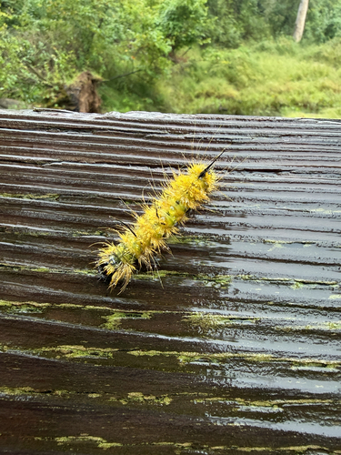
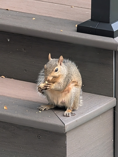
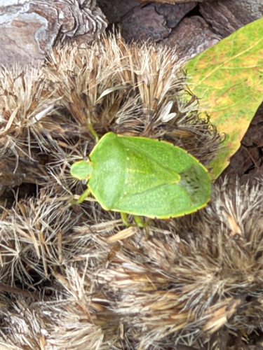
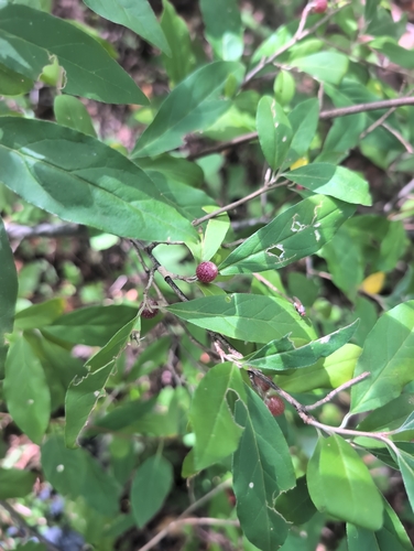
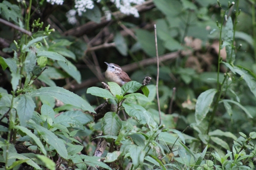
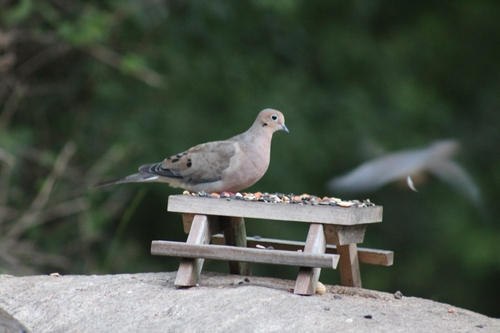
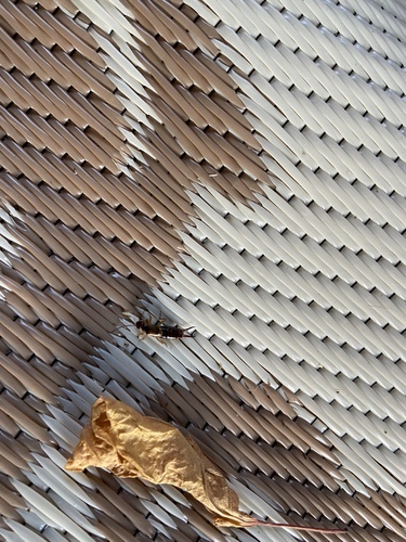
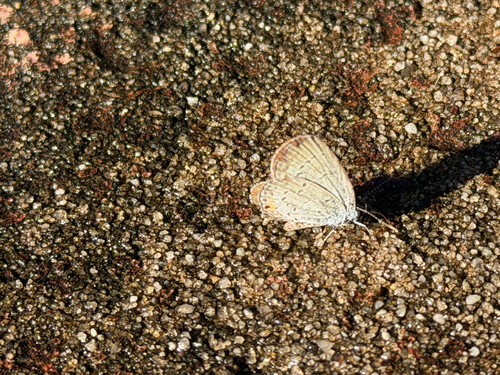
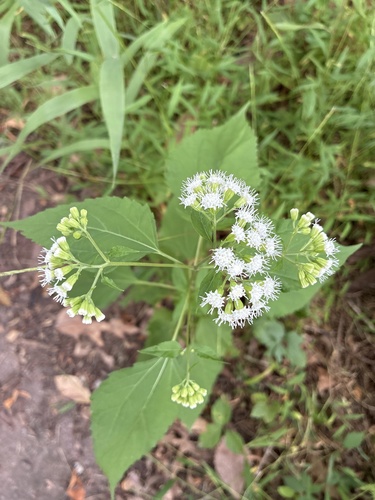
Research-grade observations from iNaturalist (within ~15 mi).
Nearest stream gauge
Live readings from USGS NWIS · measured 2026-09-16 23:15 UTC.
Events
Gallery
Sources
- • Wikipedia
- • US Census Bureau (ACS 5-year estimates)
- • NOAA National Weather Service
- • Wikidata
- • Open-Meteo Air Quality (CAMS)
- • USGS Earthquake Catalog (global feed)
- • USGS NWIS (water data)
- • NCES via Urban Institute Education Data Portal
- • GBIF (Global Biodiversity Information Facility)
- • iNaturalist
- • CDC PLACES
- • Open-Meteo / sunrise-sunset.org
- • Wikipedia Pageviews API
- • Open Library