Browse / United States / New Jersey / Closter
Closter
New Jerseyborough

Closter
Total population
8,606
Median home value
$871,300
Bachelor's+
Median income
$190,469
Demographic figures from US Census Bureau · ACS 5-year estimates. Overview below cites Wikipedia and may reference a different year.
City facts
Facts from Wikidata (CC0).
Overview
Closter is a borough in Bergen County, in the U.S. state of New Jersey. As of the 2020 United States census, the borough's population was 8,594, an increase of 221 (+2.6%) from the 2010 census count of 8,373, which in turn reflected a decline of 10 (−0.1%) from the 8,383 counted in the 2000 census.
Read more on WikipediaHistory & geography
History
The Lenape Native Americans tilled the soil, hunted in the woods, and fished in the rivers and streams before the Dutch arrived in the early 18th Century. The Dutch settlers, though, left an indelible mark on the area. Early records show that after the English takeover of New Netherland, English Governor Philip Carteret in 1669 granted a real estate speculator named Balthaser De Hart a strip of property which extended east and west from the Hudson River to the Tiena Kill, and north and south from today's Cresskill into Palisades, New York. It is within these geographical boundaries that lies what is now known as Closter. The first land grant deed for the area today known as Closter was not written until April 13, 1671. The northern half of this tract of land consisting of (extending from what is Closter Dock Road northward) was purchased by Barent and Resolvert Nagel on April 25, 1710, who along with the Vervalen family first settled what is now Closter. The name Closter is of Dutch origin and first appears in a November 18, 1721, deed between the surviving Tappan Patentees and Peter Haring (who owned land in Harrington Park/Norwood east of Tappan Road and between Harrington and Blanche Avenues)—the meets and bounds of the deed begin “Beginning at the bridge which comes out of the Clooster by the Dwars Kill..." At that time, Closter was in an area under dispute between the colonial provinces of New Jersey and New York. In the Dutch language, Klooster or "clooster" means "a quiet place, a monastery or cloister." The name was originally pronounced with an "ow" sound, phonetically, "Klowster." Later, just before the American Revolution, these isolated settlers began to feel the impact of the British Crown in their lives—not only in governmental affairs but also by…
Geography
According to the United States Census Bureau, the borough had a total area of 3.30 square miles (8.55 km2), including 3.16 square miles (8.18 km2) of land and 0.14 square miles (0.37 km2) of water (4.30%). As of 2026, the borough is a member of Local Leaders for Responsible Planning in order to address the borough's Mount Laurel doctrine-based housing obligations.
Excerpted from the corresponding Wikipedia article (CC BY-SA).
Demographics & economy
Race & ethnicity
Source: US Census Bureau — American Community Survey, 5-year estimates.
Geography
Coordinates & boundaries from the US Census TIGER/Line shapefiles.
Climate
Current forecast
Forecast for Closter, NJ from NOAA NWS API.
Air quality
Industrial & pollution facilities
Natural hazard risk
Health (adults)
Age-adjusted prevalence estimates from CDC PLACES (latest release).
Walkability
Amenities nearby
Wildlife & biodiversity
Schools
Largest nearby schools
- Ridgewood High SchoolHigh · RIDGEWOOD · 1,746 students · 12.7:1 ratio
- Hackensack High SchoolHigh · HACKENSACK · 1,745 students · 12.7:1 ratio
- Fair Lawn High SchoolHigh · FAIR LAWN · 1,624 students · 13.6:1 ratio
- Hackensack Middle SchoolMiddle · Hackensack · 1,363 students · 10.8:1 ratio
- Teaneck High SchoolHigh · TEANECK · 1,271 students · 11.8:1 ratio
- Bergen Arts and Sciences Charter SchoolOther · GARFIELD · 1,253 students · 15.3:1 ratio
- Bergenfield High SchoolHigh · BERGENFIELD · 1,224 students · 11.5:1 ratio
- Tenafly High SchoolHigh · TENAFLY · 1,200 students · 11.7:1 ratio
Public K–12 schools within ~10 mi from Urban Institute Education Data Portal (NCES Common Core of Data, 2022).
Earthquake history
Photos
Sights & places nearby
Notable people from here


People born within ~10 km, from Wikidata (CC0). Click any name for their Wikipedia article.
Nearby places in New Jersey
Geography & sun
Elevation, sunrise/sunset and daylight from Open-Meteo. Solar climatology from NASA POWER.
Nearby airports
Public attention
Pageview totals from the Wikimedia Pageviews API.
Books about Closter

Search results from Open Library.
Recent natural events nearby
Ground air-quality sensors
Recently spotted species
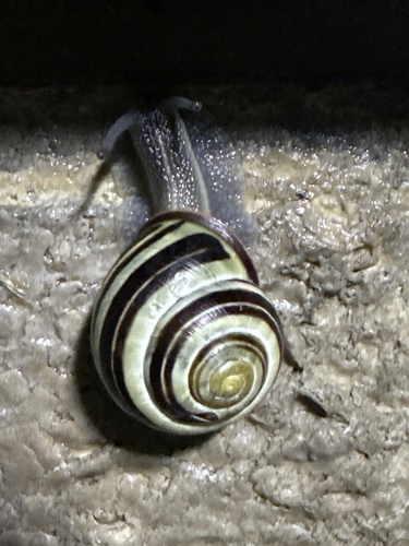
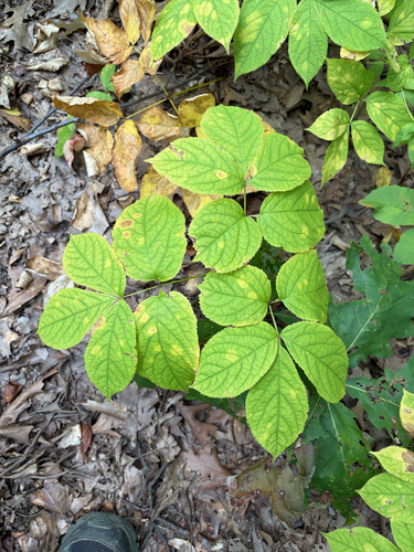
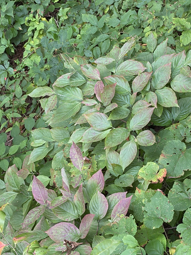
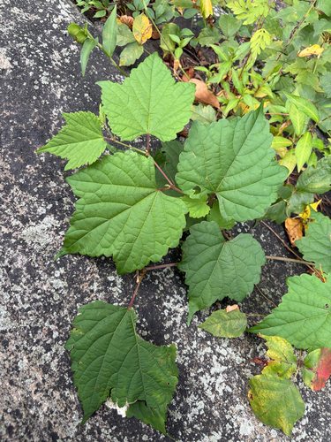
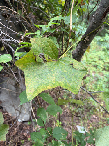
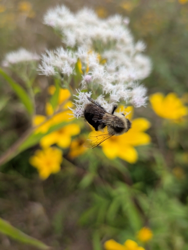
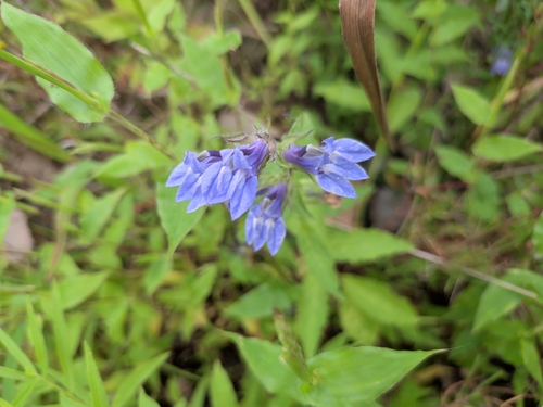
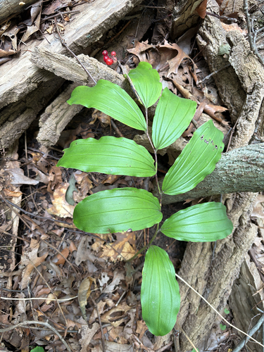
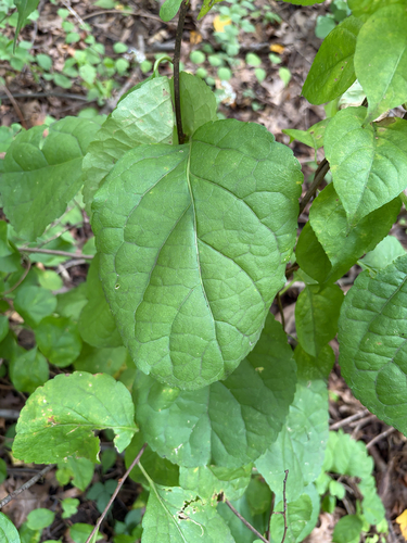
Research-grade observations from iNaturalist (within ~15 mi).
Nearest stream gauge
Events
Gallery
Sources
- • Wikipedia
- • US Census Bureau (ACS 5-year estimates)
- • NOAA National Weather Service
- • Wikidata
- • NCES via Urban Institute Education Data Portal
- • iNaturalist
- • CDC PLACES
- • Open-Meteo / sunrise-sunset.org
- • Wikipedia Pageviews API
- • Open Library