Browse / United States / New Jersey / Haledon
Haledon
New Jerseyborough

Haledon
Total population
8,980
Median home value
$396,400
Bachelor's+
Median income
$95,870
Demographic figures from US Census Bureau · ACS 5-year estimates. Overview below cites Wikipedia and may reference a different year.
City facts
Overview
Haledon is a borough in Passaic County, in the U.S. state of New Jersey. As of the 2020 United States census, the borough's population was 9,052, an increase of 734 (+8.8%) from the 2010 census count of 8,318, which in turn reflected an increase of 66 (+0.8%) from the 8,252 counted in the 2000 census.
Read more on WikipediaHistory & geography
History
Haledon developed along the northern side of the industrial city of Paterson. It was settled by farmers with colonial Dutch heritage including the Van Riper, Berdan, Banta, Post and Zabriskie families. Prior to the Civil War they were joined by the Roe, Leonhard and Stansfield families, who helped establish St. Mary's Episcopal Church and leading businesses including a general store and the Leonhard Wax Company. The area became a streetcar suburb of Paterson in the years following the Civil War, with the central area known as Haledon, while the area surrounding the large pond along High Mountain Road was called Oldham. The Paterson and Haledon Horse Rail Road Company, formed in 1871, laid trolley tracks from Paterson along the current-day Belmont Avenue, which were electrified by 1888. Many of the trolley company's owners were among the founders of the Cedar Cliff Land Company, which bought up large portions of the area, and the street names in the borough reflect these industrialists and businessmen: Morrissee, Hoxey, Van Dyke, John Ryle and Barbour. The flat, lower part of the community was laid out in city-sized lots of , while the hillsides were plated as sites for larger Victorian "villas" for such individuals as Vice President Garret A. Hobart (now the location of William Paterson University) and the Barbour family of linen flax manufacturers. Haledon's villa development was rather limited and throughout much of the 20th century Haledon was a typical blue-collar community set by the small property sizes planned by the Cedar Cliff Land Company. A never-constructed grand hotel was planned for the highest point of the community above the intersection of the current day Central and West Haledon Avenues. The Cedar Cliff Land Company ran newspaper advertisements…
Geography
According to the United States Census Bureau, the borough had a total area of 1.22 square miles (3.15 km2), including 1.22 square miles (3.15 km2) of land and 2) of water (0.08%). The borough borders the Passaic County communities of North Haledon, Paterson, Prospect Park, Totowa and Wayne.
Excerpted from the corresponding Wikipedia article (CC BY-SA).
Demographics & economy
Race & ethnicity
Source: US Census Bureau — American Community Survey, 5-year estimates.
Geography
Coordinates & boundaries from the US Census TIGER/Line shapefiles.
Climate
Air quality
Industrial & pollution facilities
Natural hazard risk
Health (adults)
Age-adjusted prevalence estimates from CDC PLACES (latest release).
Walkability
Amenities nearby
Wildlife & biodiversity
Schools
Earthquake history
Photos
Sights & places nearby
Notable people from here
Nearby places in New Jersey
Geography & sun
Elevation, sunrise/sunset and daylight from Open-Meteo. Solar climatology from NASA POWER.
Nearby airports
Public attention
Pageview totals from the Wikimedia Pageviews API.
Books about Haledon
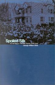

Search results from Open Library.
Recent natural events nearby
Ground air-quality sensors
Recently spotted species
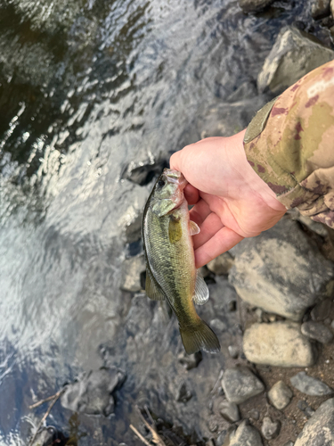
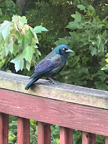
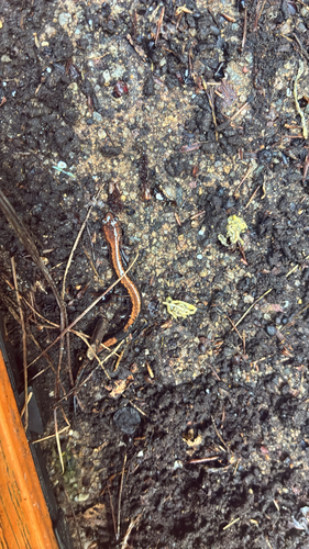
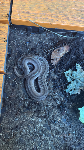
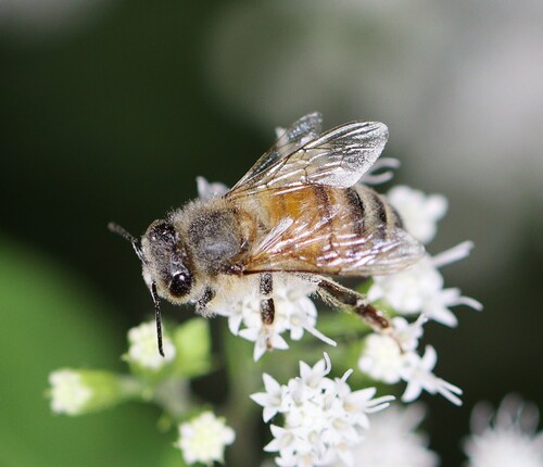
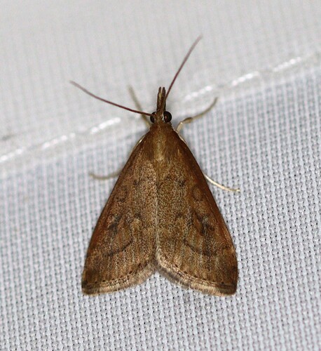
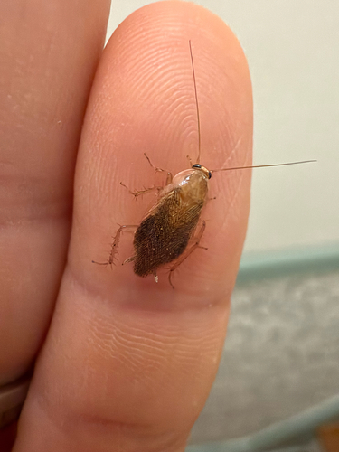
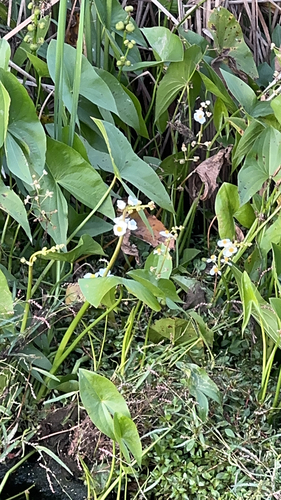
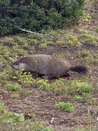
Research-grade observations from iNaturalist (within ~15 mi).
Nearest stream gauge
Events
Gallery
Sources
- • Wikipedia
- • US Census Bureau (ACS 5-year estimates)
- • iNaturalist
- • CDC PLACES
- • Open-Meteo / sunrise-sunset.org
- • Wikipedia Pageviews API
- • Open Library