Browse / United States / New Jersey / Hoboken
Hoboken
New Jerseycity

Hoboken
Total population
58,668
Median home value
$895,100
Bachelor's+
Median income
$180,579
Founded
1849
Demographic figures from US Census Bureau · ACS 5-year estimates. Overview below cites Wikipedia and may reference a different year.
City facts
Facts from Wikidata (CC0).
Overview
Hoboken is a city in Hudson County in the U.S. state of New Jersey. Hoboken is part of the New York metropolitan area and is the site of Hoboken Terminal, a major transportation hub. As of the 2020 United States census, the city's population was 60,419, an increase of 10,414 (+20.8%) from the 2010 census count of 50,005, which in turn reflected an increase of 11,428 (+29.6%) from the 38,577 counted in the 2000 census. The Census Bureau's Population Estimates Program calculated a population of 59,149 for 2024. With more than 42,400 inhabitants per square mile (16,400/km2) in data from the 2010 census, Hoboken was ranked as the third-most densely populated municipality in the United States among cities with a population above 50,000. In the 2020 census, the city's population density climbed to more than 48,300 inhabitants per square mile (18,600/km2) of land, ranked fourth in the county behind Guttenberg, Union City and West New York, all of which are in Hudson County.
Read more on WikipediaHistory & geography
History
The name Hoboken was chosen by Colonel John Stevens when he bought land on a part of which the city still sits. The Lenape, later called Delaware Indian tribe of Native Americans, referred to the area as the "land of the tobacco pipe", most likely to refer to the soapstone collected there to carve tobacco pipes, and used a phrase that became "Hopoghan Hackingh". Like Weehawken, its neighbor to the north, as well as Communipaw and Harsimus to the south, Hoboken had many variations in the folks-tongue. Hoebuck, old Dutch for high bluff, and likely referring to Castle Point, the district of the city highest above sea level, was used during the colonial era, and was later spelled as Hobuck, Hobock, Hobuk and Hoboocken. However, in the nineteenth century, the name was changed to Hoboken, influenced by Flemish immigrants, and a folk etymology had emerged, linking the town of Hoboken to the similarly named Hoboken district of Antwerp. Hoboken has been nicknamed the Mile Square City, Hoboken was originally an island which was surrounded by the Hudson River on the east and tidal lands at the foot of the New Jersey Palisades on the west. It was a seasonal campsite in the territory of the Hackensack, a phratry of the Lenni Lenape, who used the serpentine rock found there to carve pipes. An entry made in the journal of Hudson's mate, Robert Juet, on that date, is the earliest known reference to the area today known as Hoboken, and would be the last known such reference until twenty years later. Soon after the area became part of the province of New Netherland. In 1630, Michael Reyniersz Pauw, a burgemeester (mayor) of Amsterdam and a director of the Dutch West India Company, received a land grant as patroon on the condition that he would plant a colony of not fewer than fifty…
Geography
According to the United States Census Bureau, the city has a total area of , including of land and of water (37.50%). Hoboken lies on the west bank of the Hudson River between Weehawken and Union City to the north and Jersey City (the county seat) to the south and west. Directly across the Hudson River are the Manhattan, New York City neighborhoods of the West Village and Chelsea. Hoboken is laid out in a grid. North–south streets are named (Washington, Adams, Jefferson, Madison, Monroe, Jackson, Harrison, and Clinton, for example). The numbered streets running east–west start two blocks north of Observer Highway with First Street, with the grid ending close to 16th near Weehawken Cove and the city line.), The Projects, Hoboken Terminal, and Hudson Tea are distinct enclaves at the city's periphery. The "Northwest" is a name being used for that part of the city as it transforms from its previous industrial use into a residential district. Hoboken's ZIP Code is 07030
Excerpted from the corresponding Wikipedia article (CC BY-SA).
Demographics & economy
Race & ethnicity
Source: US Census Bureau — American Community Survey, 5-year estimates.
Geography
Coordinates & boundaries from the US Census TIGER/Line shapefiles.
Climate
Current forecast
Forecast for Hoboken, NJ from NOAA NWS API.
Air quality
Industrial & pollution facilities
Natural hazard risk
Health (adults)
Age-adjusted prevalence estimates from CDC PLACES (latest release).
Walkability
Amenities nearby
Wildlife & biodiversity
Most-observed species
- House SparrowPasser domesticus (Linnaeus, 1758) · Aves223,272
- American RobinTurdus migratorius Linnaeus, 1766 · Aves210,480
- European StarlingSturnus vulgaris Linnaeus, 1758 · Aves194,508
- Mourning DoveZenaida macroura (Linnaeus, 1758) · Aves179,743
- Northern CardinalCardinalis cardinalis (Linnaeus, 1758) · Aves179,410
- Rock PigeonColumba livia J.F.Gmelin, 1789 · Aves170,151
- Blue JayCyanocitta cristata (Linnaeus, 1758) · Aves159,433
- MallardAnas platyrhynchos Linnaeus, 1758 · Aves149,877
Citizen-science & research observations from the Global Biodiversity Information Facility (GBIF).
Schools
Largest nearby schools
- Union City High SchoolHigh · Union City · 3,025 students · 16.9:1 ratio
- Bayonne High SchoolHigh · BAYONNE · 2,656 students · 12.5:1 ratio
- North Bergen High SchoolHigh · N BERGEN · 2,355 students · 14.5:1 ratio
- Memorial High SchoolHigh · WEST NEW YORK · 2,251 students · 15.4:1 ratio
- William L Dickinson High SchoolHigh · JERSEY CITY · 2,024 students · 16.3:1 ratio
- Kearny High SchoolHigh · KEARNY · 1,827 students · 13.5:1 ratio
- BelovED Community Charter SchoolOther · Jersey City · 1,551 students · 15.5:1 ratio
- James J Ferris High SchoolHigh · JERSEY CITY · 1,348 students · 14.8:1 ratio
Public K–12 schools within ~10 mi from Urban Institute Education Data Portal (NCES Common Core of Data, 2022).
Earthquake history
Most recent
- M 2.8 — 2025-08-051 km N of Hillsdale, New Jersey
- M 3 — 2025-08-030 km W of Little Ferry, New Jersey
- M 2.9 — 2024-05-246 km E of Califon, New Jersey
- M 2.6 — 2024-05-011 km NW of Gladstone, New Jersey
- M 2.9 — 2024-04-277 km WSW of Gladstone, New Jersey
- M 2.6 — 2024-04-105 km WSW of Gladstone, New Jersey
Events from the USGS Earthquake Catalog (global) (FDSN Event Web Service).
Photos
Sights & places nearby
Notable people from here
Nearby places in New Jersey
- Union City1.5 mi away · pop. 66,918
- West New York3 mi away
- Jersey City3 mi away · pop. 302,822
- Guttenberg3.5 mi away · pop. 11,754
- Kearny5 mi away · pop. 40,614
- Carlstadt5.9 mi away · pop. 6,378
- Edgewater6.2 mi away · pop. 14,759
- Harrison6.5 mi away · pop. 20,369
- Little Ferry6.8 mi away
- East Newark7 mi away · pop. 2,497
- Palisades Park7.2 mi away · pop. 20,290
- Teterboro7.7 mi away
Geography & sun
Nearby airports
Public attention
Books about this place
Recent natural events nearby
Ground air-quality sensors
Recently spotted species
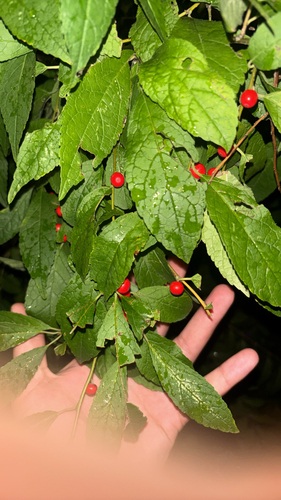
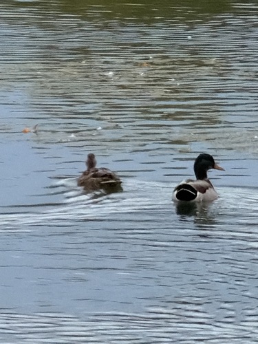
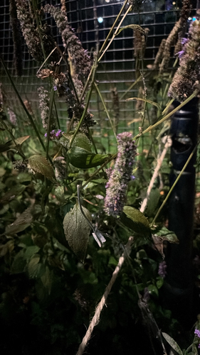
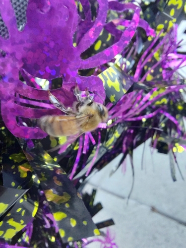
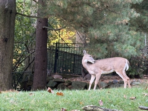
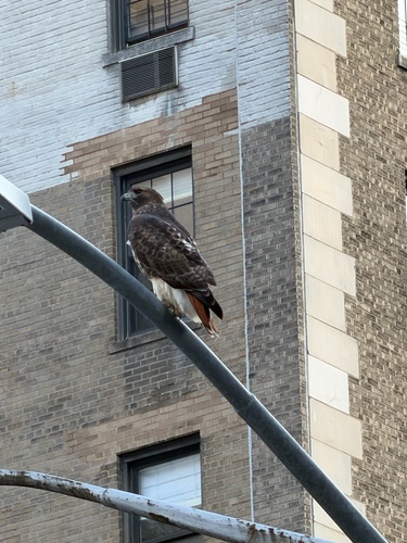
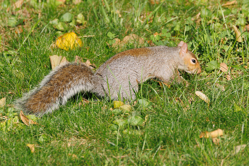
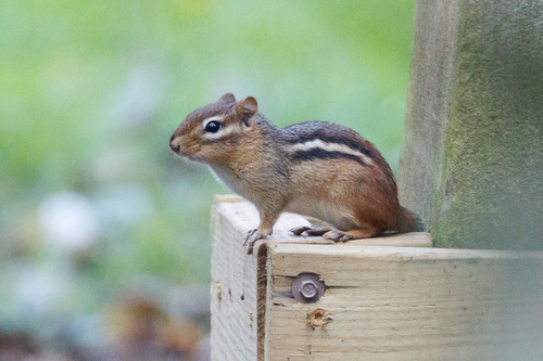
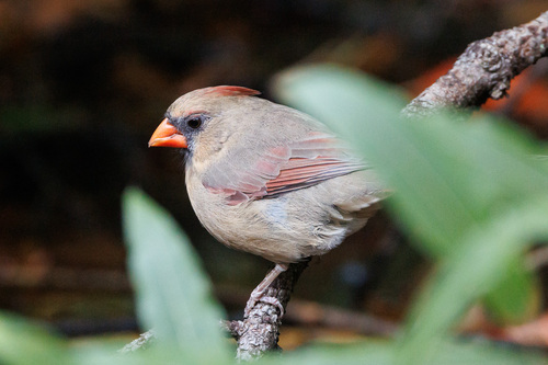
Research-grade observations from iNaturalist (within ~15 mi).
Nearest stream gauge
Events
Notable, recurring, and historical events associated with Hoboken, sourced from Wikidata.
- 63rd National Puzzlers' League conventionJan 1, 1915recurring event edition
Source: Wikidata (CC0).
Gallery
Sources
- • Wikipedia
- • US Census Bureau (ACS 5-year estimates)
- • NOAA National Weather Service
- • Wikidata
- • USGS Earthquake Catalog (global feed)
- • NCES via Urban Institute Education Data Portal
- • GBIF (Global Biodiversity Information Facility)
- • iNaturalist
- • CDC PLACES