Browse / United States / New Jersey / Hopatcong
Hopatcong
New Jerseyborough

Hopatcong
Total population
14,565
Median home value
$340,700
Bachelor's+
Median income
$115,758
Demographic figures from US Census Bureau · ACS 5-year estimates. Overview below cites Wikipedia and may reference a different year.
City facts
Overview
Hopatcong is a borough in Sussex County, in the U.S. state of New Jersey. As of the 2020 United States census, the borough's population was 14,362.
Read more on WikipediaHistory & geography
History
The town of Hopatcong has a rich history, given its relationship with New York City. It borders Lake Hopatcong, a partially man-made lake that is now a source of much recreation and desirable real estate, and is the biggest lake in New Jersey. The community, west of New York City, began as a summer getaway for the wealthy in NYC who primarily sought access to the lake. An amusement park, called "Bertrand's Island", sprang up and was accessible via the lake, trolley or by car through Mount Arlington. The construction of Interstate 80, a highway that stretches from Teaneck, New Jersey, all the way across the country to San Francisco, California, triggered rapid growth in New York City's suburbs and led to Hopatcong becoming a permanent residential community. The area had been called "Brookland" in the 19th century and the lake that was expanded to become Lake Hopatcong had been known as "Great Pond" or "Brookland Pond". During the 1830s, the name of the community had been modified to "Brooklyn", to match the spelling of the city on New York's Long Island. Hopatcong was originally established as the Town of Brooklyn on April 2, 1898, from portions of Byram Township. On March 22, 1901, the Borough of Hopatcong replaced Brooklyn. In 1922, residents of Byram Cove, Northwood, and other areas to the west of the original land area of the borough, voted to leave Byram Township and join Hopatcong, leaving the Borough with its current borders. While the origin of the borough's name is unclear, it is said to derive from Native American phrases variously meaning "stone over water" or "pipestone", among other variations.
Geography
According to the United States Census Bureau, the borough had a total area of 12.35 square miles (31.99 km2), including 10.89 square miles (28.21 km2) of land and 1.46 square miles (3.78 km2) of water (11.83%). Hopatcong borders Byram Township, Sparta Township and Stanhope in Sussex County; and Jefferson Township, Mount Arlington and Roxbury Township in Morris County.
Excerpted from the corresponding Wikipedia article (CC BY-SA).
Demographics & economy
Race & ethnicity
Source: US Census Bureau — American Community Survey, 5-year estimates.
Geography
Coordinates & boundaries from the US Census TIGER/Line shapefiles.
Climate
Current forecast
Forecast for Hopatcong, NJ from NOAA NWS API.
Air quality
Industrial & pollution facilities
Natural hazard risk
Health (adults)
Walkability
Amenities nearby
Wildlife & biodiversity
Schools
Earthquake history
Photos
Sights & places nearby
Notable people from here
Nearby places in New Jersey
Geography & sun
Elevation, sunrise/sunset and daylight from Open-Meteo. Solar climatology from NASA POWER.
Nearby airports
Public attention
Pageview totals from the Wikimedia Pageviews API.
Books about Hopatcong
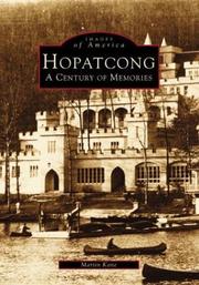

Search results from Open Library.
Recent natural events nearby
Ground air-quality sensors
Recently spotted species
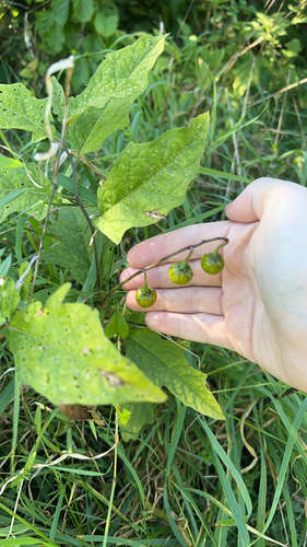
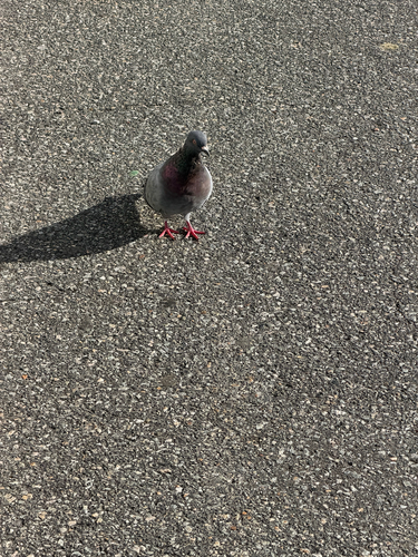
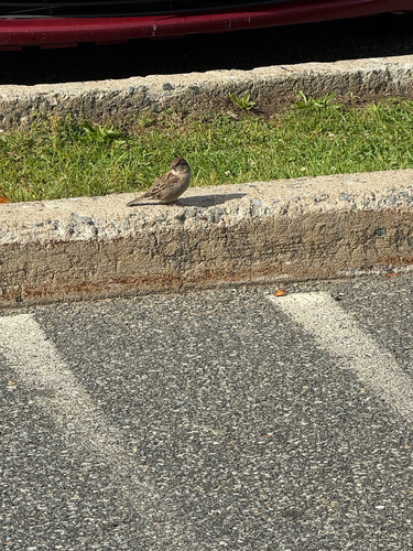
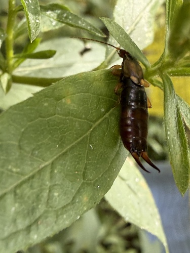
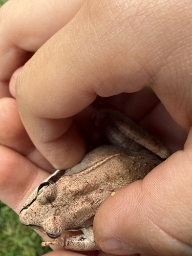
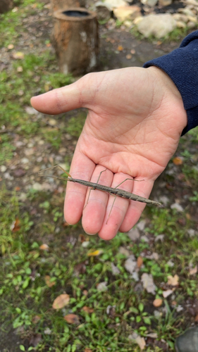
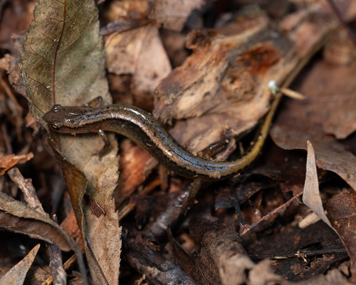
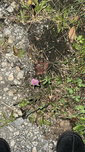
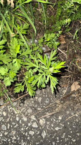
Research-grade observations from iNaturalist (within ~15 mi).
Nearest stream gauge
Events
Gallery
Sources
- • Wikipedia
- • US Census Bureau (ACS 5-year estimates)
- • NOAA National Weather Service
- • iNaturalist
- • Open-Meteo / sunrise-sunset.org
- • Wikipedia Pageviews API
- • Open Library