Browse / United States / New Jersey / Lawnside
Lawnside
New Jerseyborough

Lawnside
Total population
3,200
Median home value
$240,700
Bachelor's+
Median income
$71,607
Demographic figures from US Census Bureau · ACS 5-year estimates. Overview below cites Wikipedia and may reference a different year.
- Coastal Flood Advisory · MinorCoastal Flood Advisory issued September 24 at 5:36AM EDT until September 25 at 4:00AM EDT by NWS Mount Holly NJ
Source: NOAA National Weather Service.
City facts
Facts from Wikidata (CC0).
Overview
Lawnside is a borough in Camden County, in the U.S. state of New Jersey. Lawnside was developed in 1840 and incorporated in 1926 as the first independent, self-governing Black municipality north of the Mason–Dixon line. As of the 2020 United States census, approximately 75% of the borough's 2,955 population still identified as Black or African American, although this percentage has declined over the past two census periods. The population in 2020 had increased by 10 (+0.3%) from the 2010 census count of 2,945,
Read more on WikipediaHistory & geography
History
Lawnside has been home to African Americans since the late 18th century. Methodist gatherings were established by 1797, and in 1811, Bishop Richard Allen of Philadelphia founded the local African Methodist Episcopal Church (AME), which eventually became the Mount Pisgah AME Church today. AME churches were premised on abolition and civil rights, primarily serving former slaves and their descendants. Additionally, freedmen often sought safety and support by concentrating near Quaker allies, which in the case of Lawnside was the Haddonfield Quaker Society of Friends, with support from the Gloucester County Abolition Society and Vigilant Association of Philadelphia. Indeed, the home of Peter Mott, now a nationally recognized refuge of the underground railroad, was saved by the Lawnside Historical Society from demolition in 1992 specifically to preserve this important legacy of the town. The early village was later known as "Snow Hill" after the Civil War and eventually "Lawnton." After a train station was constructed by Reading along the Atlantic City Railroad in 1907, the town became known as Lawnside, either from the presence of a spacious lawn at the station or as a shortened description of the stop's exit on the "Lawnton side" of the tracks. In 1919, John Lawson, a prominent Philadelphian and recipient of the Medal of Honor for his service during the Civil War, was laid to rest at Mount Peace Cemetery in Lawnside. The exact reasons behind this location remain uncertain, with possibilities including family connections to Lawnside or the restrictions on burying black veterans in certain Pennsylvania cemeteries at the time. On March 24, 1926, Governor of New Jersey A. Harry Moore signed into law New Jersey General Assembly Bill 561, dissolving Centre Township, of which…
Geography
According to the United States Census Bureau, the borough had a total area of 1.43 square miles (3.70 km2), all of which was land.
Excerpted from the corresponding Wikipedia article (CC BY-SA).
Demographics & economy
Race & ethnicity
Source: US Census Bureau — American Community Survey, 5-year estimates.
Geography
Coordinates & boundaries from the US Census TIGER/Line shapefiles.
Climate
Current forecast
Forecast for Lawnside, NJ from NOAA NWS API.
Air quality
Industrial & pollution facilities
Natural hazard risk
Health (adults)
Age-adjusted prevalence estimates from CDC PLACES (latest release).
Walkability
Amenities nearby
Wildlife & biodiversity
Schools
Earthquake history
Photos
Sights & places nearby
Notable people from here


People born within ~10 km, from Wikidata (CC0). Click any name for their Wikipedia article.
Geography & sun
Elevation, sunrise/sunset and daylight from Open-Meteo. Solar climatology from NASA POWER.
Nearby airports
Public attention
Pageview totals from the Wikimedia Pageviews API.
Books about Lawnside
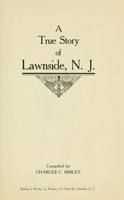
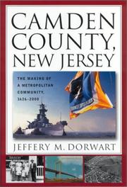

Search results from Open Library.
Recent natural events nearby
Ground air-quality sensors
Recently spotted species
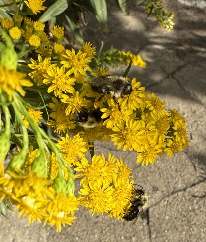
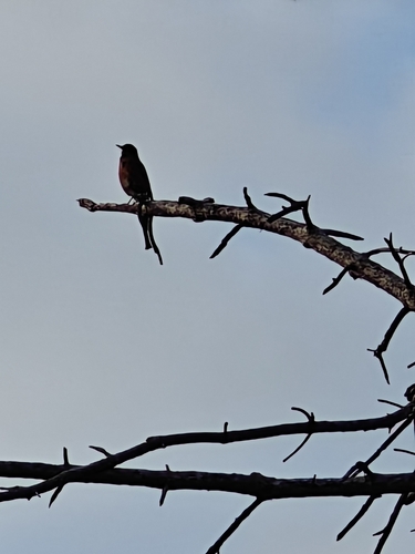
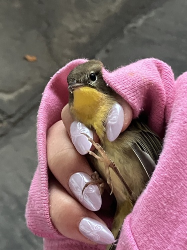
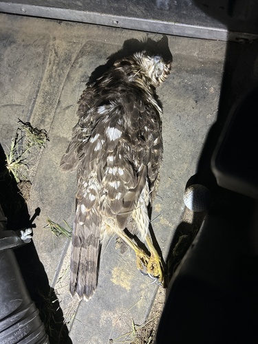
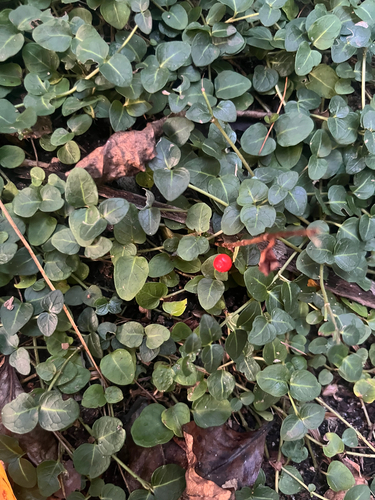
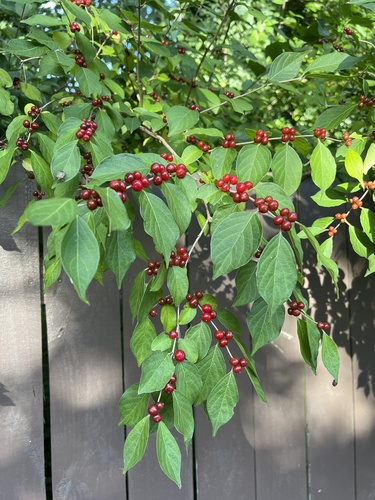
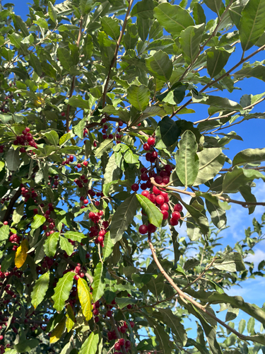
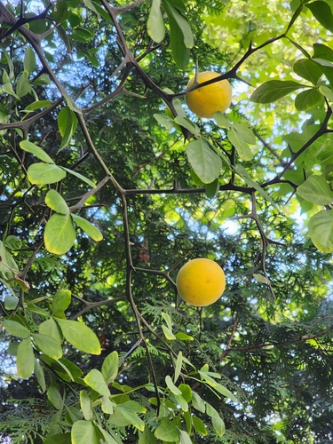
Research-grade observations from iNaturalist (within ~15 mi).
Nearest stream gauge
Events
Gallery
Sources
- • Wikipedia
- • US Census Bureau (ACS 5-year estimates)
- • NOAA National Weather Service
- • Wikidata
- • iNaturalist
- • CDC PLACES
- • Open-Meteo / sunrise-sunset.org
- • Wikipedia Pageviews API
- • Open Library