Browse / United States / New Jersey / Morristown
Morristown
New Jerseytown

Morristown
Total population
20,453
Median home value
$567,600
Bachelor's+
Median income
$121,340
Founded
1715
Demographic figures from US Census Bureau · ACS 5-year estimates. Overview below cites Wikipedia and may reference a different year.
City facts
Facts from Wikidata (CC0).
Overview
Morristown is a town in and the county seat of Morris County, in the U.S. state of New Jersey. Morristown has been called "the military capital of the American Revolution" because of its strategic role in the war for independence from Great Britain. Morristown's history is visible in a variety of locations that collectively make up Morristown National Historical Park, the country's first National Historical Park.
Read more on WikipediaHistory & geography
History
Present-day Morristown was initially inhabited by the Lenni Lenape Native Americans for up to 6,000 years prior to exploration of Europeans. The first European settlements in this portion of New Jersey were established by Sweden and the Netherlands in the early 17th century, when significant trade in furs existed between the natives and the Europeans at temporary posts. It became part New Netherland, a Dutch colony, but the English seized control of the region in 1664, which was granted to Sir George Carteret and John Berkeley, 1st Baron Berkeley of Stratton, and named the Province of New Jersey. Morristown was settled around 1715 by English Presbyterians from Southold, New York, on Long Island and New Haven, Connecticut, as the village of New Hanover. The town's central location and road connections led to its selection as the seat of the new Morris County shortly after its separation from Hunterdon County on March 15, 1739. The village and county were named for Lewis Morris, the first and then sitting royal governor of a united colony of New Jersey. In 1777, General Washington and the Continental Army marched from the victories at Trenton and Princeton to encamp near Morristown from January to May. Washington's headquarters during that first encampment was at Jacob Arnold's Tavern, located at the Morristown Green in the center of Morristown. Morristown was selected for its extremely strategic location. It was between Philadelphia and New York and near New England while being protected by the Watchung Mountains from the bulk of British troops camped in New York City. It also was chosen for the skills and trades of the residents, local industries and natural resources to provide arms, and what was thought to be the ability of the community to provide enough food to…
Geography
According to the United States Census Bureau, Morristown town had a total area of 3.01 square miles (7.79 km2), including 2.91 square miles (7.53 km2) of land and 0.10 square miles (0.25 km2) of water (3.26%). making it part of 21 pairs of "doughnut towns" in the state, where one municipality entirely surrounds another. The downtown shopping and business district of Morristown is centered around a square park, known as the Morristown Green. It is a former market square from Morristown's colonial days. Morristown has a humid continental climate (Köppen climate classification Dfa) with hot, humid summers and moderately cold winters. The hardiness zone is 7a.
Excerpted from the corresponding Wikipedia article (CC BY-SA).
Demographics & economy
Race & ethnicity
Source: US Census Bureau — American Community Survey, 5-year estimates.
Geography
Coordinates & boundaries from the US Census TIGER/Line shapefiles.
Climate
Current forecast
Forecast for Morristown, NJ from NOAA NWS API.
Air quality
Industrial & pollution facilities
Natural hazard risk
Health (adults)
Age-adjusted prevalence estimates from CDC PLACES (latest release).
Walkability
Amenities nearby
Wildlife & biodiversity
Most-observed species
- Blue JayCyanocitta cristata (Linnaeus, 1758) · Aves40,869
- American RobinTurdus migratorius Linnaeus, 1766 · Aves37,629
- Northern CardinalCardinalis cardinalis (Linnaeus, 1758) · Aves35,017
- Red-bellied WoodpeckerMelanerpes carolinus (Linnaeus, 1758) · Aves33,338
- Mourning DoveZenaida macroura (Linnaeus, 1758) · Aves31,062
- Song SparrowMelospiza melodia (A.Wilson, 1810) · Aves29,242
- Downy WoodpeckerDryobates pubescens (Linnaeus, 1766) · Aves27,584
- Tufted TitmouseBaeolophus bicolor (Linnaeus, 1766) · Aves25,812
Citizen-science & research observations from the Global Biodiversity Information Facility (GBIF).
Schools
Largest nearby schools
- Morristown High SchoolHigh · MORRISTOWN · 1,868 students · 13.4:1 ratio
- Morris Knolls High SchoolHigh · DENVILLE · 1,447 students · 11.1:1 ratio
- Randolph High SchoolHigh · RANDOLPH · 1,349 students · 11.1:1 ratio
- Chatham High SchoolHigh · CHATHAM · 1,231 students · 12.1:1 ratio
- Roxbury High SchoolHigh · SUCCASUNNA · 1,192 students · 9.8:1 ratio
- Morris Hills High SchoolHigh · ROCKAWAY · 1,187 students · 10.1:1 ratio
- Dover High SchoolHigh · DOVER · 1,159 students · 13.3:1 ratio
- Montville Township High SchoolHigh · MONTVILLE · 1,112 students · 10.4:1 ratio
Public K–12 schools within ~10 mi from Urban Institute Education Data Portal (NCES Common Core of Data, 2022).
Earthquake history
Most recent
- M 2.8 — 2025-08-051 km N of Hillsdale, New Jersey
- M 3 — 2025-08-030 km W of Little Ferry, New Jersey
- M 2.9 — 2024-05-246 km E of Califon, New Jersey
- M 2.6 — 2024-05-011 km NW of Gladstone, New Jersey
- M 2.9 — 2024-04-277 km WSW of Gladstone, New Jersey
- M 2.6 — 2024-04-105 km WSW of Gladstone, New Jersey
Events from the USGS Earthquake Catalog (global) (FDSN Event Web Service).
Photos
Sights & places nearby
Notable people from here


People born within ~10 km, from Wikidata (CC0). Click any name for their Wikipedia article.
Nearby places in New Jersey
- Morris Plains2.9 mi away · pop. 6,315
- New Vernon4 mi away · pop. 743
- Brookside4.5 mi away · pop. 1,465
- Parsippany5.8 mi away · pop. 21,345
- Chatham6.2 mi away · pop. 9,407
- Victory Gardens6.5 mi away
- Mendham6.6 mi away · pop. 4,973
- Mountain Lakes6.8 mi away · pop. 4,585
- Gillette7.1 mi away · pop. 2,833
- Basking Ridge7.5 mi away · pop. 7,917
- Dover7.5 mi away · pop. 18,563
- New Providence7.7 mi away · pop. 13,727
Geography & sun
Elevation, sunrise/sunset and daylight from Open-Meteo. Solar climatology from NASA POWER.
Nearby airports
Public attention
Pageview totals from the Wikimedia Pageviews API.
Books about Morristown
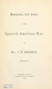
Search results from Open Library.
Recent natural events nearby
Ground air-quality sensors
Recently spotted species
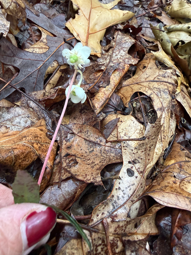
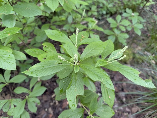
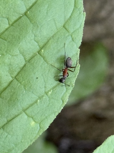
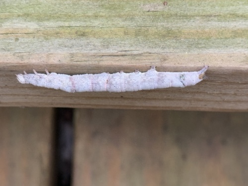
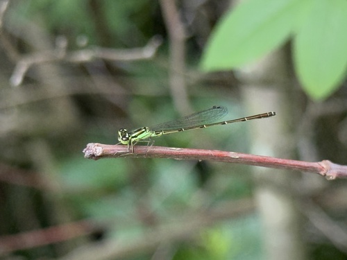
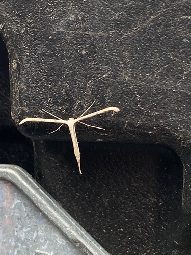
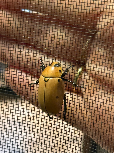
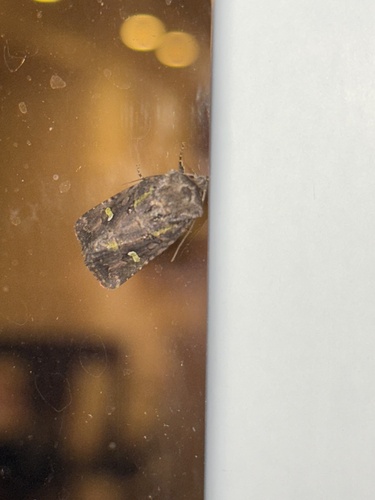
Research-grade observations from iNaturalist (within ~15 mi).
Nearest stream gauge
Live readings from USGS NWIS · measured 2026-06-27 18:50 UTC.
Events
Gallery
Geotagged photos within ~6 miles of Morristown, from Wikimedia Commons contributors.
 0.1 mi
 0.1 mi
_at_Dumont_Place_and_Morris_Street_in_Morristown,_Morris_County,_New_Jersey.jpg) 0.1 mi
0.1 mi_just_east_of_U.S._Route_202_(Park_Place)_in_Morristown,_Morris_County,_New_Jersey.jpg) 0.1 mi
0.1 mi_just_west_of_Spring_Street_in_Morristown,_Morris_County,_New_Jersey.jpg) 0.1 mi
0.1 mi 0.1 mi
 0.1 mi
 0.1 mi
 0.1 mi
 0.1 mi
 0.1 mi
 0.1 mi
 0.1 mi
 0.2 mi
 0.2 mi
_in_Morristown_New_Jersey_jeh.jpg) 0.2 mi
0.2 mi 0.2 mi
.jpg) 0.2 mi
0.2 mi_at_U.S._Route_202_and_Morris_County_Route_510_(Park_Place)_in_Morristown,_Morris_County,_New_Jersey.jpg) 0.2 mi
0.2 mi_at_U.S._Route_202_and_Morris_County_Route_510_(Park_Place)_in_Morristown,_Morris_County,_New_Jersey.jpg) 0.2 mi
0.2 mi_from_the_overpass_for_the_rail_line_just_west_of_Lackawanna_Place_in_Morristown,_Morris_County,_New_Jersey.jpg) 0.2 mi
0.2 mi_from_the_overpass_for_the_rail_line_just_west_of_Lackawanna_Place_in_Morristown,_Morris_County,_New_Jersey.jpg) 0.2 mi
0.2 mi_from_the_overpass_for_the_rail_line_just_west_of_Lackawanna_Place_in_Morristown,_Morris_County,_New_Jersey.jpg) 0.2 mi
0.2 mi 0.2 mi
Photos via Wikimedia Commons — see each image page for license & attribution.
Sources
- • Wikipedia
- • US Census Bureau (ACS 5-year estimates)
- • NOAA National Weather Service
- • Wikimedia Commons
- • Wikidata
- • USGS Earthquake Catalog (global feed)
- • USGS NWIS (water data)
- • NCES via Urban Institute Education Data Portal
- • GBIF (Global Biodiversity Information Facility)
- • iNaturalist
- • CDC PLACES
- • Open-Meteo / sunrise-sunset.org
- • Wikipedia Pageviews API
- • Open Library