Browse / United States / New Jersey / Newark
Newark
New Jerseycity

Newark
Total population
317,303
Median home value
$396,600
Bachelor's+
Median income
$58,490
Founded
1666
Air quality index
Demographic figures from US Census Bureau · ACS 5-year estimates. Overview below cites Wikipedia and may reference a different year.
City facts
Sister cities
Facts from Wikidata (CC0).
Overview
Newark is the most populous city in the U.S. state of New Jersey, the county seat of Essex County, and a principal city of the New York metropolitan area. As of the 2020 census, the city's population was 311,549. The Population Estimates Program calculated a population of 323,808 for 2025, making it the 61st-most populous municipality in the nation.
Read more on WikipediaHistory & geography
History
Newark was settled in 1666 by Connecticut Puritans led by Robert Treat from the New Haven Colony. It was conceived as a theocratic assembly of the faithful, though this did not last for long as new settlers came with different ideas. On October 31, 1693, it was organized as a New Jersey township based on the Newark Tract, which was first purchased on July 11, 1667. Newark was granted a royal charter on April 27, 1713. It was incorporated on February 21, 1798, by the New Jersey Legislature's Township Act of 1798, as one of New Jersey's initial group of 104 townships. During its time as a township, portions were taken to form Springfield Township (April 14, 1794), Caldwell Township (February 16, 1798; now known as Fairfield Township), Orange Township (November 27, 1806), Bloomfield Township (March 23, 1812) and Clinton Township (April 14, 1834, remainder reabsorbed by Newark on March 5, 1902). Newark was reincorporated as a city on April 11, 1836, replacing Newark Township, based on the results of a referendum passed on March 18, 1836. The previously independent Vailsburg borough was annexed by Newark on January 1, 1905. In 1926, South Orange Township changed its name to Maplewood. As a result of this, a portion of Maplewood known as Ivy Hill was re-annexed to Newark's Vailsburg. The name of the city is thought to derive from Newark-on-Trent, England, because of the influence of the original pastor, Abraham Pierson, who came from Yorkshire but may have ministered in Newark, Nottinghamshire. But Pierson is also supposed to have said that the community reflecting the new task at hand should be named "New Ark" for "New Ark of the Covenant" and some of the colonists saw it as "New-Work", the settlers' new work with God. Whatever the origins, the name was shortened to…
Geography
According to the United States Census Bureau, the city had a total area of , including of land and of water (6.72%). The city's altitude ranges from 0 (sea level) in the east to approximately above sea level in the western section of the city. Newark is essentially a large basin sloping towards the Passaic River, with a few valleys formed by meandering streams. Historically, Newark's high places have been its wealthier neighborhoods. In the 19th century and early 20th century, the wealthy congregated on the ridges of Forest Hill, High Street, and Weequahic. Until the 20th century, the marshes on Newark Bay were difficult to develop, as they were essentially wilderness, with a few dumps, warehouses, and cemeteries on their edges. In the 1920s, the city was able to reclaim of marshland for the development of Newark Liberty International Airport, and then later Port Newark. Newark is surrounded by residential suburbs to the west (on the slope of the Watchung Mountains), the Passaic River and Newark Bay to the east, dense urban areas to the south and southwest, and middle-class residential suburbs and industrial areas to the north. The city is the largest in New Jersey's Gateway Region, which is said to have received its name from Newark's nickname as the "Gateway City". The city borders the municipalities of Belleville, Bloomfield, East Orange, Irvington, Maplewood and South Orange in Essex County; Bayonne, East Newark, Harrison, Jersey City and Kearny in Hudson County; and Elizabeth and Hillside in Union County. Newark is the second-most racially diverse municipality in the state, behind neighboring Jersey City. It is divided into five political wards, which are often used by residents to identify their place of habitation. In recent years, residents have begun…
Excerpted from the corresponding Wikipedia article (CC BY-SA).
Demographics & economy
Race & ethnicity
Source: US Census Bureau — American Community Survey, 5-year estimates.
Geography
Coordinates & boundaries from the US Census TIGER/Line shapefiles.
Climate
Current forecast
Forecast for Newark, NJ from NOAA NWS API.
Air quality
Current readings from Open-Meteo Air Quality API (Copernicus CAMS European reanalysis).
Industrial & pollution facilities
Natural hazard risk
Health (adults)
Age-adjusted prevalence estimates from CDC PLACES (latest release).
Walkability
Amenities nearby
Wildlife & biodiversity
Most-observed species
- House SparrowPasser domesticus (Linnaeus, 1758) · Aves191,481
- American RobinTurdus migratorius Linnaeus, 1766 · Aves180,718
- European StarlingSturnus vulgaris Linnaeus, 1758 · Aves162,646
- Mourning DoveZenaida macroura (Linnaeus, 1758) · Aves156,558
- Northern CardinalCardinalis cardinalis (Linnaeus, 1758) · Aves154,839
- Blue JayCyanocitta cristata (Linnaeus, 1758) · Aves143,327
- Rock PigeonColumba livia J.F.Gmelin, 1789 · Aves141,541
- White-throated SparrowZonotrichia albicollis (J.F.Gmelin, 1789) · Aves128,181
Citizen-science & research observations from the Global Biodiversity Information Facility (GBIF).
Schools
Largest nearby schools
- North Star Academy Charter SchoolOther · NEWARK · 6,352 students · 26.9:1 ratio
- TEAM Academy Charter SchoolOther · NEWARK · 6,096 students · 22.6:1 ratio
- East Side High SchoolHigh · NEWARK · 2,255 students · 16.2:1 ratio
- West Orange High SchoolHigh · WEST ORANGE · 2,151 students · 11.4:1 ratio
- Livingston High SchoolHigh · LIVINGSTON · 2,066 students · 11:1 ratio
- Bloomfield High SchoolHigh · Bloomfield · 2,029 students · 12.1:1 ratio
- Great Oaks Legacy Charter SchoolOther · Newark · 2,012 students · 19.9:1 ratio
- Montclair High SchoolHigh · MONTCLAIR · 1,968 students · 13.1:1 ratio
Public K–12 schools within ~10 mi from Urban Institute Education Data Portal (NCES Common Core of Data, 2022).
Earthquake history
Most recent
- M 2.8 — 2025-08-051 km N of Hillsdale, New Jersey
- M 3 — 2025-08-030 km W of Little Ferry, New Jersey
- M 2.9 — 2024-05-246 km E of Califon, New Jersey
- M 2.6 — 2024-05-011 km NW of Gladstone, New Jersey
- M 2.9 — 2024-04-277 km WSW of Gladstone, New Jersey
- M 2.6 — 2024-04-105 km WSW of Gladstone, New Jersey
Events from the USGS Earthquake Catalog (global) (FDSN Event Web Service).
Photos
Sights & places nearby
Notable people from here


People born within ~10 km, from Wikidata (CC0). Click any name for their Wikipedia article.
Nearby places in New Jersey
Geography & sun
Elevation, sunrise/sunset and daylight from Open-Meteo. Solar climatology from NASA POWER.
Nearby airports
Public attention
Pageview totals from the Wikimedia Pageviews API.
Books about Newark
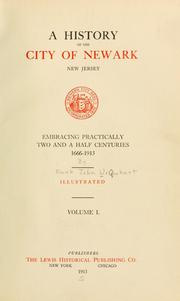

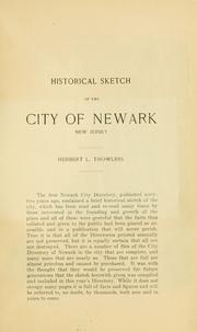
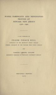
Search results from Open Library.
Recent natural events nearby
Ground air-quality sensors
Recently spotted species
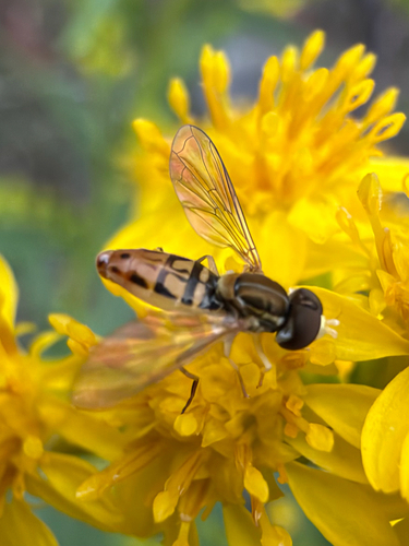
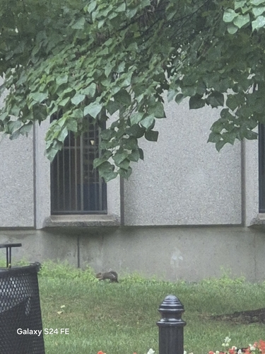
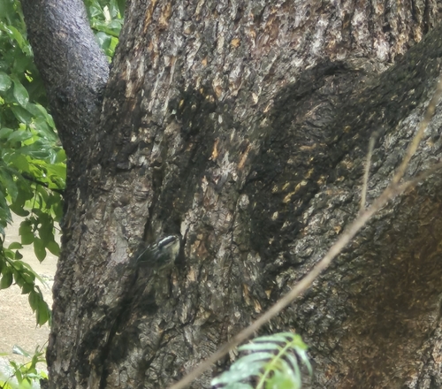
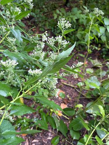
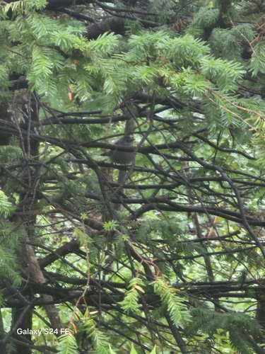
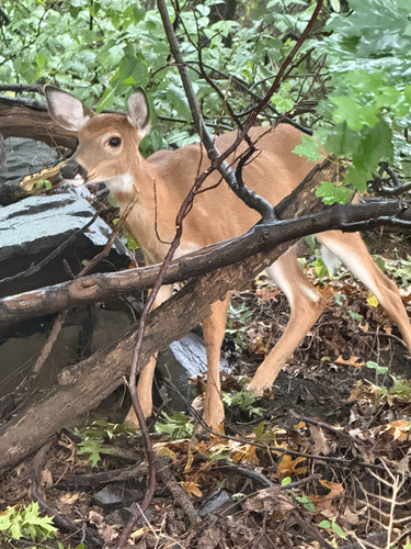
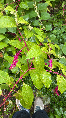
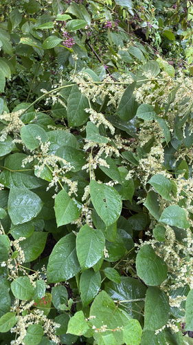
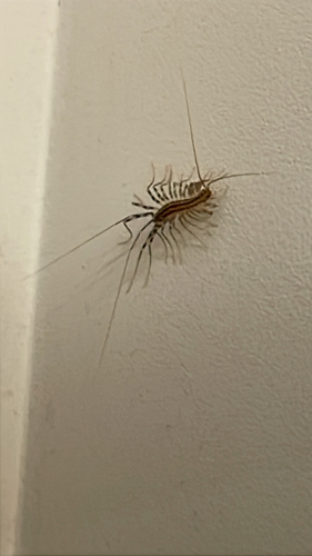
Research-grade observations from iNaturalist (within ~15 mi).
Nearest stream gauge
Events
Notable, recurring, and historical events associated with Newark, sourced from Wikidata.
- Aug 28, 2022
- Aug 26, 2019
- 162nd National Puzzlers' League conventionJul 12, 2001recurring event edition
- 87th National Puzzlers' League conventionFeb 1, 1927recurring event edition
- 83rd National Puzzlers' League conventionFeb 1, 1925recurring event edition
- 77th National Puzzlers' League conventionJan 1, 1922recurring event edition
- 43rd National Puzzlers' League conventionJan 1, 1905recurring event edition
- 40th National Puzzlers' League conventionJul 1, 1903recurring event edition
- 3rd National Puzzlers' League conventionJul 1, 1884recurring event edition
Source: Wikidata (CC0).
Gallery
Sources
- • Wikipedia
- • US Census Bureau (ACS 5-year estimates)
- • NOAA National Weather Service
- • Wikidata
- • Open-Meteo Air Quality (CAMS)
- • USGS Earthquake Catalog (global feed)
- • NCES via Urban Institute Education Data Portal
- • GBIF (Global Biodiversity Information Facility)
- • iNaturalist
- • CDC PLACES
- • Open-Meteo / sunrise-sunset.org
- • Wikipedia Pageviews API
- • Open Library