Browse / United States / New Jersey / Pleasant Plains
Pleasant Plains
New JerseyCDP

Pleasant Plains
Total population
468
Median home value
$598,200
Bachelor's+
Median income
$0
Demographic figures from US Census Bureau · ACS 5-year estimates. Overview below cites Wikipedia and may reference a different year.
City facts
Overview
Pleasant Plains is an unincorporated community and census-designated place (CDP) located in Franklin Township, in Somerset County, in the U.S. state of New Jersey. As of the 2020 census, Pleasant Plains had a population of 792. Having no distinct boundaries, a large area in the center of Franklin Township centered on the intersections of South Middlebush Road with Claremont and Suydam Roads is generally considered Pleasant Plains.
Read more on WikipediaHistory & geography
History
Prior to the development of K. Hovnanian's Town and Country Estates in 1998, the area included little more than a collection of 18th and 19th century farms and rural lanes. Its historic rural character may be seen in an estimate from 1882 which listed the Pleasant Plains population at 46. An icon in the area has been the early 19th century general store and blacksmith shop buildings known since the late 1800s as Laird's Brothers Hardware and Laird's Corner Store. Another area feature is the Pleasant Plains Cemetery on South Middlebush Road just south of Laird's Corner that has been in use from early settlement of the area until the present day. Since the early 19th century (and possibly even earlier), the area featured a one-room schoolhouse known as the Pleasant Plains School. Located on the north side of Suydam Road about a half mile west of Laird's Corner, it remained in use until about 1931 when the Township started decommissioning its one-room schoolhouses in favor of larger regional schools. Moved across the road on log rollers, it was converted into a residence and used until the late 20th century when it was threatened with demolition to make way for the Town and County development. Instead, it was moved to the Township's Municipal Complex on DeMott Lane where it awaits further rehabilitation. The Six Mile Run Historic District listed on the New Jersey and National Register of Historic Places includes a number of properties in the Pleasant Plains area.
Geography
According to the United States Census Bureau, Pleasant Plains had a total area of 3.221 square miles (8.342 km2), including 3.215 square miles (8.328 km2) of land and 0.006 square miles (0.014 km2) of water (0.17%).
Excerpted from the corresponding Wikipedia article (CC BY-SA).
Demographics & economy
Race & ethnicity
Source: US Census Bureau — American Community Survey, 5-year estimates.
Geography
Coordinates & boundaries from the US Census TIGER/Line shapefiles.
Climate
Current forecast
Forecast for Pleasant Plains, NJ from NOAA NWS API.
Air quality
Industrial & pollution facilities
Natural hazard risk
Health (adults)
Age-adjusted prevalence estimates from CDC PLACES (latest release).
Walkability
Amenities nearby
Wildlife & biodiversity
Schools
Earthquake history
Photos
Sights & places nearby
Notable people from here
Nearby places in New Jersey
Geography & sun
Elevation, sunrise/sunset and daylight from Open-Meteo. Solar climatology from NASA POWER.
Nearby airports
Public attention
Pageview totals from the Wikimedia Pageviews API.
Books about Pleasant Plains

Search results from Open Library.
Recent natural events nearby
Ground air-quality sensors
Recently spotted species
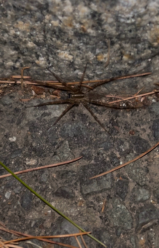
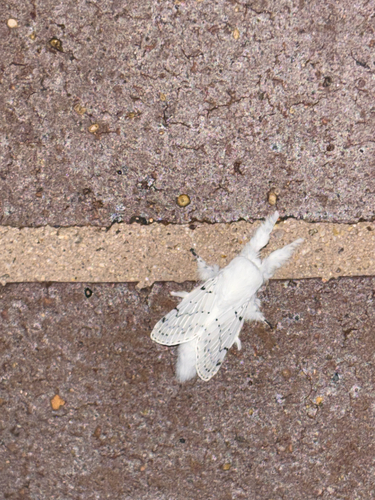
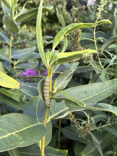
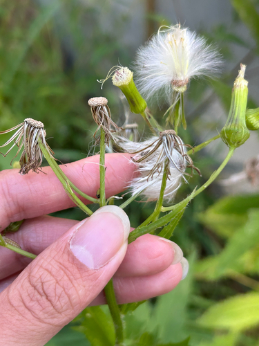
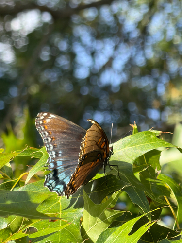
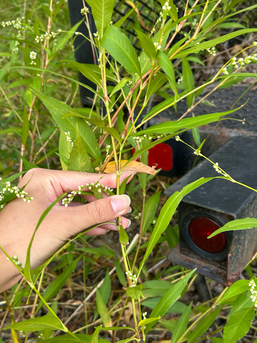
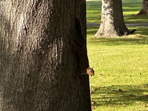
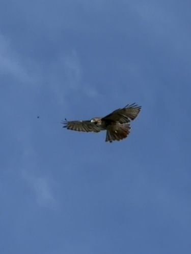
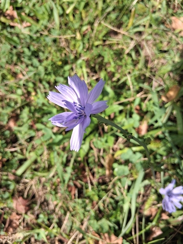
Research-grade observations from iNaturalist (within ~15 mi).
Nearest stream gauge
Events
Gallery
Sources
- • Wikipedia
- • US Census Bureau (ACS 5-year estimates)
- • NOAA National Weather Service
- • iNaturalist
- • CDC PLACES
- • Open-Meteo / sunrise-sunset.org
- • Wikipedia Pageviews API
- • Open Library