Browse / Netherlands / North Brabant / Aarle-Rixtel
Aarle-Rixtel
North Brabantvillage

Aarle-Rixtel
Total population
5,640
Demographic figures from CBS Netherlands. Overview below cites Wikipedia and may reference a different year.
City facts
Overview
Aarle-Rixtel is a village in the Dutch municipality of Laarbeek in North Brabant. It lies about 4 km north of Helmond. Since the municipal reorganization of 1968 the castle Croy is part of Aarle-Rixtel.
Read more on WikipediaHistory & geography
History
Aarle was first mentioned in 1249 as Arleh, and means "open forest with maple trees". Rixtel was first mentioned in 1179 as Ricstelle. The etymology is unknown. The villages developed in the Middle Ages along the Aa River. The two villages merged into a single entity. Aarle used to be a site of pilgrimage, and had a church, guesthouse, monastery and an inn. The Chapel of Our Lady in the Sand is a pilgrimage site which was built around 1500. It was rebuilt in 1597. In 1846, it was converted into town hall, but became a chapel again in 1853. In 1969, it was restored and made symmetrical again. There is a little 16th-century Mary statue inside in the chapel which allegedly has performed miracles. In 1840, Aarle was home to 701 people and Rixtel was home to 154 people. The former town hall was built in 1855 and consists of three blocks: a school, the town hall and the residence for the school teacher. Until the municipal reorganization of 1997, Aarle-Rixtel was a separate municipality. In 1997, it became part of Laarbeek. The spoken language is Peellands (an East Brabantian dialect, which is very similar to Standard Dutch). Since many decades, the village has been an important location for textile production. Petit & Fritsen was a bell foundry that was located in Aarle-Rixtel until 2014. In that year, the company was acquired by a competitor who became thereby the last remaining Dutch bell foundry.
Excerpted from the corresponding Wikipedia article (CC BY-SA).
Geography
Coordinates & boundaries from the US Census TIGER/Line shapefiles.
Climate
Air quality
Walkability
Amenities nearby
Wildlife & biodiversity
Most-observed species
- Common ChaffinchFringilla coelebs Linnaeus, 1758 · Aves15,247
- Common Wood-PigeonColumba palumbus Linnaeus, 1758 · Aves15,189
- Great TitParus major Linnaeus, 1758 · Aves14,604
- Eurasian BlackbirdTurdus merula Linnaeus, 1758 · Aves14,598
- Common BuzzardButeo buteo (Linnaeus, 1758) · Aves14,082
- Carrion CrowCorvus corone Linnaeus, 1758 · Aves13,299
- Common ChiffchaffPhylloscopus collybita (Vieillot, 1817) · Aves13,068
- MallardAnas platyrhynchos Linnaeus, 1758 · Aves12,982
Citizen-science & research observations from the Global Biodiversity Information Facility (GBIF).
Earthquake history
Most recent
- M 2.5 — 2021-01-025 km ENE of Eynatten, Belgium
- M 2.9 — 2018-05-251 km S of Reppel, Belgium
- M 2.9 — 2013-01-200 km WNW of Brachterbeek, Netherlands
- M 4.2 — 2011-09-083 km ENE of Heijen, Netherlands
- M 4.1 — 2009-07-242 km NW of Kamp-Lintfort, Germany
- M 3.2 — 2008-12-256 km ESE of Rheinberg, Germany
Events from the USGS Earthquake Catalog (global) (FDSN Event Web Service).
Photos
Sights & places nearby
Notable people from here


People born within ~10 km, from Wikidata (CC0). Click any name for their Wikipedia article.
Nearby places in North Brabant
- Gerwen3.4 mi away · pop. 2,080
- Boerdonk3.5 mi away · pop. 750
- Mariahout3.6 mi away · pop. 1,930
- De Mortel3.7 mi away · pop. 1,575
- Nederwetten5 mi away · pop. 850
- Handel5.8 mi away · pop. 1,814
- Milheeze6.1 mi away · pop. 2,173
- Zijtaart7.1 mi away · pop. 1,595
- Elsendorp7.5 mi away · pop. 1,105
- Deurne7.5 mi away · pop. 24,690
- Ommel7.7 mi away · pop. 1,079
- De Rips8 mi away · pop. 1,121
Geography & sun
Elevation, sunrise/sunset and daylight from Open-Meteo. Solar climatology from NASA POWER.
Nearby airports
Public attention
Pageview totals from the Wikimedia Pageviews API.
Books about this place
Recent natural events nearby
Ground air-quality sensors
Recently spotted species
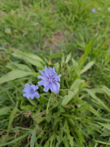
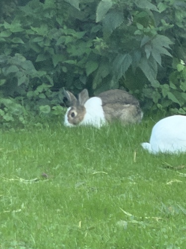
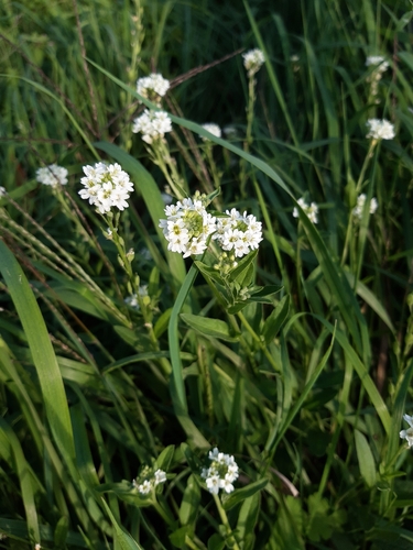
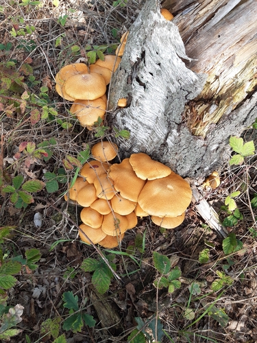
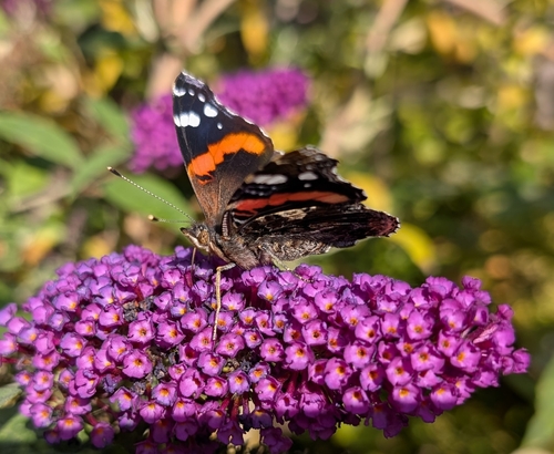
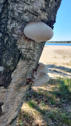
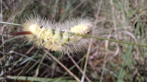
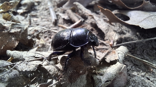
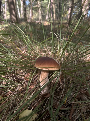
Research-grade observations from iNaturalist (within ~15 mi).
Events
Gallery
Official Identifiers
CBS — Statistics Netherlands
- CBS code
- 0739
- Population (Wikidata)
- 1,031
- Wikidata
- Q40686425
Gemeente codes via Wikidata P382
Sources
- • Wikipedia
- • Wikidata
- • USGS Earthquake Catalog (global feed)
- • GBIF (Global Biodiversity Information Facility)
- • iNaturalist
- • Open-Meteo / sunrise-sunset.org
- • Wikipedia Pageviews API
- • CBS — Statistics Netherlands, municipality code via Wikidata P382
- • CBS — Statistics Netherlands — Gemeente codes via Wikidata P382