Browse / Netherlands / North Holland / Akersloot
Akersloot
North Hollandvillage
Total population
4,947
Air quality index
Demographic figures from CBS Netherlands. Overview below cites Wikipedia and may reference a different year.
City facts
Overview
Within North Holland, Netherlands, Akersloot stands as a village. Public datasets list a population of roughly 4,947. Located at 52.560°, 4.732°, Akersloot occupies a cool-temperate portion of the northern hemisphere. Climatically, locations at this latitude tend to experience long cool seasons and short, mild summers. Open solar datasets indicate about 1,084 kWh/m² of solar irradiance per year, combined with sunshine for roughly 42% of daylight hours. Long-term weather observations show average highs near 57°F and lows near 47.6°F with about 37.4 in of annual precipitation (a moderate total). The sections below expand on demographics, weather, terrain, hazards and nearby points of interest using publicly available datasets.
Summary composed automatically from structured open data on this page. See our Terms for details.
History & geography
Geography
Coordinates & boundaries from the US Census TIGER/Line shapefiles.
Climate
10-year averages from ERA5 reanalysis (Open-Meteo).
Air quality
Current readings from Open-Meteo Air Quality API (Copernicus CAMS European reanalysis).
Walkability
Amenities nearby
Wildlife & biodiversity
Most-observed species
- Eurasian BlackbirdTurdus merula Linnaeus, 1758 · Aves39,288
- Western JackdawColoeus monedula (Linnaeus, 1758) · Aves36,072
- Great TitParus major Linnaeus, 1758 · Aves34,583
- Common Wood-PigeonColumba palumbus Linnaeus, 1758 · Aves30,604
- MallardAnas platyrhynchos Linnaeus, 1758 · Aves29,153
- European RobinErithacus rubecula (Linnaeus, 1758) · Aves28,674
- Eurasian CootFulica atra Linnaeus, 1758 · Aves28,613
- Eurasian MagpiePica pica (Linnaeus, 1758) · Aves26,661
Citizen-science & research observations from the Global Biodiversity Information Facility (GBIF).
Earthquake history
Most recent
- M 2.9 — 2008-10-1119 km WNW of Egmond aan Zee, Netherlands
- M 3.7 — 2001-09-1254 km WNW of Petten, Netherlands
- M 3.4 — 2001-09-1010 km W of Wijk aan Zee, Netherlands
- M 3.8 — 2001-09-097 km W of Egmond aan Zee, Netherlands
Events from the USGS Earthquake Catalog (global) (FDSN Event Web Service).
Photos
Sights & places nearby
Notable people from here


People born within ~10 km, from Wikidata (CC0). Click any name for their Wikipedia article.
Nearby places in North Holland
- Limmen1.8 mi away · pop. 7,129
- De Woude2.1 mi away · pop. 175
- Uitgeest2.3 mi away · pop. 13,456
- Zuidschermer2.6 mi away · pop. 620
- West-Graftdijk2.7 mi away · pop. 680
- Castricum2.7 mi away · pop. 19,726
- Starnmeer2.9 mi away · pop. 200
- Markenbinnen2.9 mi away · pop. 310
- Heiloo3.2 mi away · pop. 23,104
- Bakkum3.3 mi away · pop. 3,239
- Driehuizen3.4 mi away · pop. 230
- Westknollendam3.6 mi away · pop. 445
Geography & sun
Elevation, sunrise/sunset and daylight from Open-Meteo. Solar climatology from NASA POWER.
Nearby airports
Public attention
Books about this place
Recent natural events nearby
Ground air-quality sensors
Recently spotted species
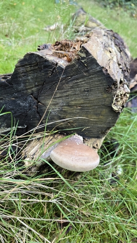
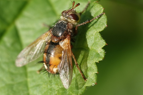
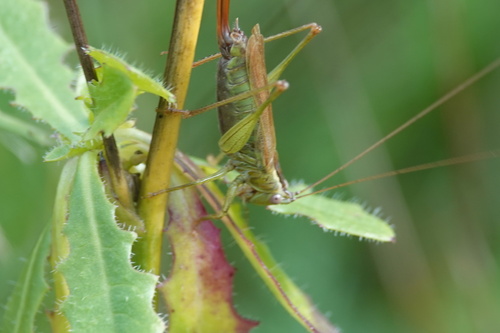
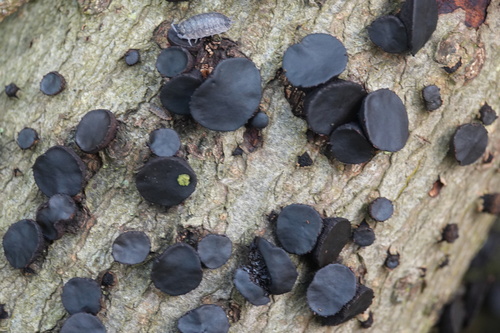
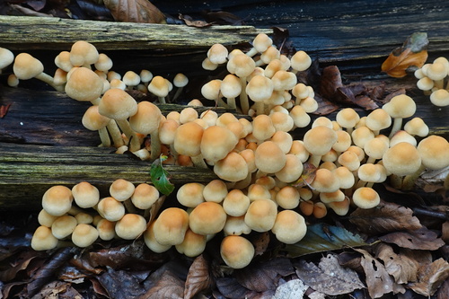
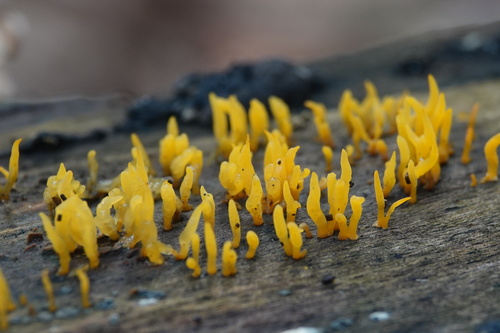
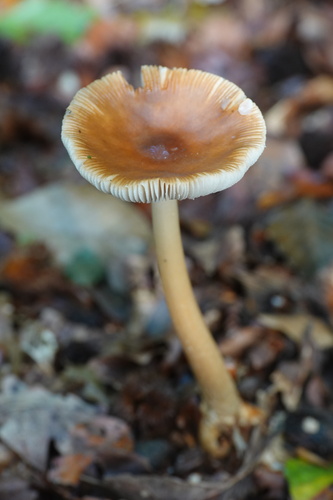
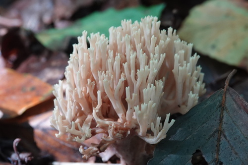
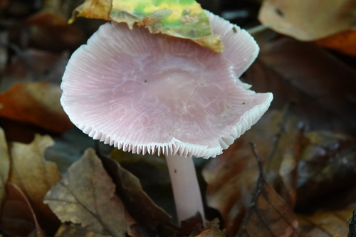
Research-grade observations from iNaturalist (within ~15 mi).
Events
Gallery
Official Identifiers
CBS — Statistics Netherlands
- CBS code
- 0360
- Population (Wikidata)
- 799
- Wikidata
- Q47067378
Gemeente codes via Wikidata P382
Sources
- • Open-Meteo (ERA5 reanalysis)
- • Wikidata
- • Open-Meteo Air Quality (CAMS)
- • USGS Earthquake Catalog (global feed)
- • GBIF (Global Biodiversity Information Facility)
- • iNaturalist
- • Open-Meteo / sunrise-sunset.org
- • CBS — Statistics Netherlands, municipality code via Wikidata P382
- • CBS — Statistics Netherlands — Gemeente codes via Wikidata P382