Browse / Netherlands / Flevoland / Almere
Almere
Flevolandcity

Almere
Total population
207,904
Founded
1976
Demographic figures from CBS Netherlands. Overview below cites Wikipedia and may reference a different year.
City facts
Sister cities
Facts from Wikidata (CC0).
Overview
Almere is a planned city and municipality in Flevoland, Netherlands, across the IJmeer from Amsterdam.
Read more on WikipediaHistory & geography
History
The original plans for the IJsselmeerpolders saw the land being used for agriculture. This changed in the early 1960's according to the Dutch Central Bureau for Statistics. After World War II housing was needed for the rapidly growing population of Amsterdam and two towns were planned in the polders Oostelijk Flevoland and Zuidelijk Flevoland. The town in Oostelijk Flevoland became Lelystad. The town in Zuidelijk Flevoland was still called Zuidweststad (English: South West City) on the first sketches; but in the 1970s it became called Almere, named after the lake Almere, the early medieval name of the Zuiderzee. The first house in Almere was finished in 1976. At that time the town was still controlled by the Openbaar Lichaam Zuidelijke IJsselmeerpolders (Z.IJ.P.), with a Landdrost. In 1984 Almere became an official municipality, a year before the official establishment of its province, Flevoland. Originally, Almere was envisioned as a town with multiple centres. This idea was later abandoned in favour of allowing neighbourhoods like Tussen de Vaarten to be built. There is also a difference between the way houses are built in the oldest and the newest parts of the city. The housing plan in Almere in the 1970s was basic functionality and a levelling of social status. However, starting in the 1990s more exclusive homes with striking designs were built (notably in the Regenboogbuurt).
Geography
Almere is located in the polder of Southern Flevoland (Dutch: Zuidelijk Flevoland). It is the most western municipality of the province Flevoland. It borders with Markermeer in the west and north, Lelystad in the northeast, Zeewolde in the east, and Gooimeer in the south. Almere consists of three boroughs and three districts (Dutch: stadsdelen), three of which were under construction . {| class="wikitable" |- ! Name ! Year ! Location |- | Almere Haven ('Almere Harbor') | 1976 | |- | Almere Stad ('Almere City') | 1980 | |- | Almere Buiten ('Outer Almere') | 1984 | |- | Almere Hout ('Almere Woods') | 1991 | |- | Almere Poort ('Almere Gate') | 2000 | |- | Almere Pampus | To be constructed | |} Almere has an oceanic climate characterized by mild to cool winters, and warm summers with fair precipitation year-round.
Excerpted from the corresponding Wikipedia article (CC BY-SA).
Geography
Coordinates & boundaries from the US Census TIGER/Line shapefiles.
Climate
Air quality
Walkability
Amenities nearby
Wildlife & biodiversity
Earthquake history
Photos
Sights & places nearby
Notable people from here


People born within ~10 km, from Wikidata (CC0). Click any name for their Wikipedia article.
Nearby places in Flevoland
- Neptune Beach4455 mi away
- Hilliard4457.2 mi away
- Nassau Village-Ratliff4461.6 mi away
- Nocatee4467.2 mi away
- Orange Park4474.7 mi away
- Fruit Cove4475.2 mi away
- Bellair-Meadowbrook Terrace4475.5 mi away
- Fleming Island4478.7 mi away
- Lakeside4479.1 mi away
- Oakleaf Plantation4479.9 mi away
- Green Cove Springs4483.3 mi away
- Beverly Beach4485.7 mi away
Geography & sun
Elevation, sunrise/sunset and daylight from Open-Meteo. Solar climatology from NASA POWER.
Nearby airports
Public attention
Pageview totals from the Wikimedia Pageviews API.
Books about Almere

Search results from Open Library.
Recent natural events nearby
Ground air-quality sensors
Recently spotted species
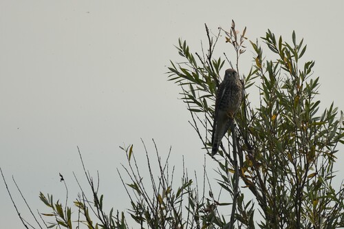
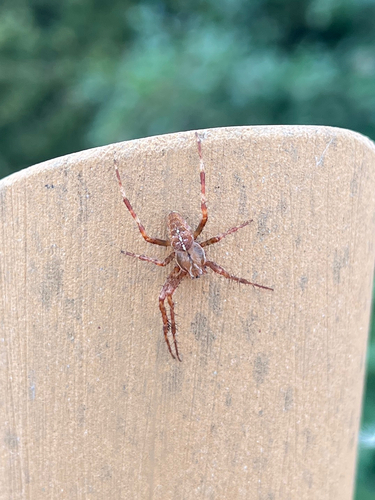
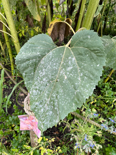
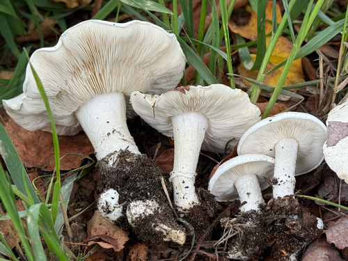
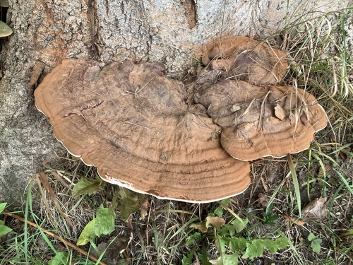
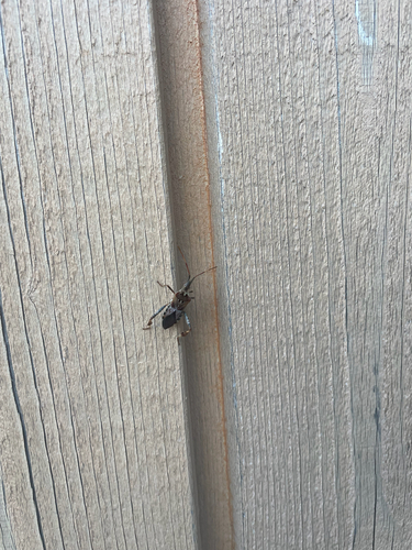
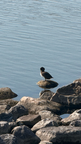
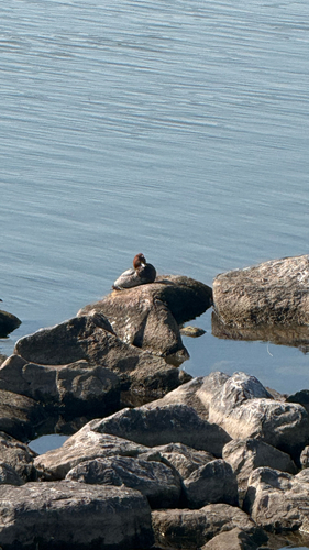
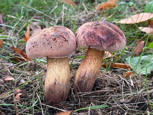
Research-grade observations from iNaturalist (within ~15 mi).
Events
Gallery
Official Identifiers
CBS — Statistics Netherlands
- CBS code
- 0034
- Population (Wikidata)
- 214,715
- Wikidata
- Q83178
Gemeente codes via Wikidata P382
Sources
- • Wikipedia
- • Wikidata
- • iNaturalist
- • Open-Meteo / sunrise-sunset.org
- • Wikipedia Pageviews API
- • Open Library
- • CBS — Statistics Netherlands, municipality code via Wikidata P382
- • CBS — Statistics Netherlands — Gemeente codes via Wikidata P382