Browse / Netherlands / Utrecht / Amersfoort
Amersfoort
Utrechtcity

Amersfoort
Total population
145,699
Founded
1259
Demographic figures from CBS Netherlands. Overview below cites Wikipedia and may reference a different year.
City facts
Sister cities
Facts from Wikidata (CC0).
Overview
Amersfoort is a city and municipality in the Utrecht province of the Netherlands. As of 31 January 2023, the municipality had a population of 160,902, making it the second-largest of the province and fifteenth-largest of the country. Amersfoort is also one of the largest Dutch railway junctions with its three stations—Amersfoort Centraal, Schothorst and Vathorst—due to its location on two of the Netherlands' main east to west and north to south railway lines. The city was used during the 1928 Summer Olympics as a venue for the modern pentathlon events. Amersfoort marked its 750th anniversary as a city in 2009.
Read more on WikipediaHistory & geography
History
Hunter gatherers set up camps in the Amersfoort region in the Mesolithic period. Archaeologists have found traces of these camps, such as the remains of hearths, and sometimes microlithic flint objects, to the north of the city. Remains of settlements dating to 1000 BC have been found in the Amersfoort area. The name Amersfoort, after a ford in the Amer River, today called the Eem, first appeared in the 11th century. The city grew around what is now the Hof, where the Bishops of Utrecht established a court in order to control the "" area. It was granted city rights in 1259 by the bishop of Utrecht, Henry I van Vianden. A first defensive wall, made of brick, was completed around 1300 but expansion led to the construction of a new wall in 1380, which was completed around 1450. The Koppelpoort, a combined land and water gate, is part of this second wall. The first wall was demolished and houses were built in its place. Today's Muurhuizen (wallhouses) Street is located where the first wall stood. The Onze-Lieve-Vrouwentoren (Tower of Our Lady) is one of the tallest medieval church towers in the Netherlands at . When it was built, it was the middle point of The Netherlands, it was exactly built in the center and a reference for the Dutch grid system. The nickname of the tower is Lange Jan ('Long John'). The construction of the tower and the church was started in 1444. The church was destroyed by an explosion in 1787, but the tower survived, and the layout of the church still can be discerned today through the use of different types of stone in the pavement of the open space that was created. It is now the reference point of the RD coordinate system, the coordinate grid used by the Dutch topographical service: the RD coordinates are (155.000, 463.000). The inner…
Excerpted from the corresponding Wikipedia article (CC BY-SA).
Geography
Coordinates & boundaries from the US Census TIGER/Line shapefiles.
Climate
Air quality
Walkability
Amenities nearby
Wildlife & biodiversity
Most-observed species
- Eurasian BlackbirdTurdus merula Linnaeus, 1758 · Aves60,845
- Great TitParus major Linnaeus, 1758 · Aves56,186
- Common Wood-PigeonColumba palumbus Linnaeus, 1758 · Aves54,642
- MallardAnas platyrhynchos Linnaeus, 1758 · Aves50,572
- House SparrowPasser domesticus (Linnaeus, 1758) · Aves48,727
- Common ChaffinchFringilla coelebs Linnaeus, 1758 · Aves47,356
- Eurasian CootFulica atra Linnaeus, 1758 · Aves47,101
- European RobinErithacus rubecula (Linnaeus, 1758) · Aves46,143
Citizen-science & research observations from the Global Biodiversity Information Facility (GBIF).
Earthquake history
Most recent
- M 4.2 — 2011-09-083 km ENE of Heijen, Netherlands
- M 3.3 — 2008-12-104 km WSW of Wesel, Germany
- M 2.9 — 2008-10-1119 km WNW of Egmond aan Zee, Netherlands
- M 2.7 — 2008-08-073 km NW of Alpen, Germany
- M 2.7 — 2007-03-193 km WSW of Issum, Germany
- M 2.7 — 2003-03-012 km WSW of Wesel, Germany
Events from the USGS Earthquake Catalog (global) (FDSN Event Web Service).
Photos
Sights & places nearby
Notable people from here


People born within ~10 km, from Wikidata (CC0). Click any name for their Wikipedia article.
Nearby places in Utrecht
- Hooglanderveen2.8 mi away · pop. 4,628
- Achterveld4.7 mi away · pop. 2,665
- Austerlitz6.2 mi away · pop. 1,475
- Huis ter Heide6.2 mi away · pop. 2,610
- Bunschoten-Spakenburg6.2 mi away
- Maarsbergen6.9 mi away · pop. 1,286
- Bosch en Duin7.1 mi away · pop. 1,635
- Lage Vuursche7.3 mi away · pop. 285
- Renswoude8.5 mi away · pop. 5,106
- Doorn8.7 mi away · pop. 10,067
- Hollandsche Rading9.1 mi away · pop. 1,592
- Overberg9.3 mi away · pop. 1,530
Geography & sun
Nearby airports
Public attention
Books about this place
Recent natural events nearby
Ground air-quality sensors
Recently spotted species


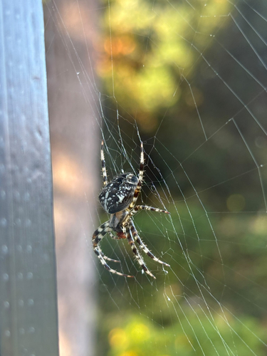

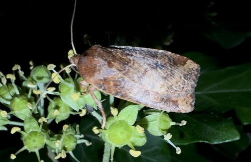


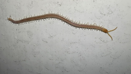
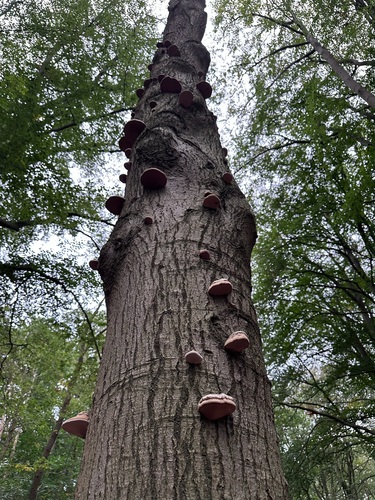
Research-grade observations from iNaturalist (within ~15 mi).
Events
Notable, recurring, and historical events associated with Amersfoort, sourced from Wikidata.
- 2016 The PassionMar 24, 2016recurring event edition
- 1985 CEB European Three-cushion ChampionshipMar 22, 1985sporting event
Source: Wikidata (CC0).
Gallery
Official Identifiers
CBS — Statistics Netherlands
- CBS code
- 0307
- Population (Wikidata)
- 157,462
- Wikidata
- Q992
Gemeente codes via Wikidata P382
Sources
- • Wikipedia
- • Wikidata
- • USGS Earthquake Catalog (global feed)
- • GBIF (Global Biodiversity Information Facility)
- • iNaturalist
- • CBS — Statistics Netherlands, municipality code via Wikidata P382
- • CBS — Statistics Netherlands — Gemeente codes via Wikidata P382