Browse / Netherlands / Gelderland / Arnhem
Arnhem
Gelderlandcity

Arnhem
Total population
155,694
Founded
1233
Demographic figures from CBS Netherlands. Overview below cites Wikipedia and may reference a different year.
City facts
Sister cities
Facts from Wikidata (CC0).
Overview
Arnhem is a city and municipality situated in the eastern part of the Netherlands, near the German border. It is the capital of the province of Gelderland and its second-most populous municipality, located on both banks of the rivers Nederrijn and Sint-Jansbeek, which was the source of the city's development.
Read more on WikipediaHistory & geography
History
The oldest archeological findings of human activity around Arnhem are two firestones of about 70,000 years ago. These come from the Stone Age, when the Neanderthals lived in this part of Europe. In Schuytgraaf, remnants of a hunters camp from around 5000 BC have been discovered. In Schaarsbergen, twelve grave mounds were found from 2400 BC, which brought the so-called Neolithic Revolution to the area of Arnhem, which meant the rise of the farmers. The earliest settlement in Arnhem dates from 1500 BC, of which traces have been found on the Hoogkamp, where the Van Goyenstraat is currently located. In the inner city, around the Sint-Jansbeek, traces of settlement have been found from around 700 BC, while the first traces south of the Rhine have been found dating to around 500 BC, in the Schuytgraaf. Though the early tracks of settlements did show that the early residents of Arnhem descended from the forests on the hills, Arnhem was not built on the banks of the river Rhine, but a little higher along the Sint-Jansbeek. Arnhem arose on the location where the road between Nijmegen and Utrecht and Zutphen split. Seven streams provided the city with water, and only when the flow of the Rhine was changed in 1530, was the city located on the river. Arnhem was first mentioned as such in 893 as Arneym or Arentheym. In 1233, Count Otto II of Guelders from Zutphen, conferred city rights on the town, which had belonged to the abbey of Prüm, settled in, and fortified it. Arnhem entered the Hanseatic League in 1443. In 1473, it was captured by Charles the Bold of Burgundy. In 1514, Charles of Egmond, duke of Guelders, took it from the dukes of Burgundy; in 1543, it fell to the emperor Charles V. As capital of the so-called "Kwartier van Veluwe" it joined the Union of Utrecht during…
Geography
The municipality of Arnhem consists of the city of Arnhem and the following surrounding suburbs and former villages: * Elden, Netherlands (former village, now totally surrounded by other Arnhem neighbourhoods) * Schaarsbergen Arnhem consists of three districts (stadsdelen) and 24 neighbourhoods (wijken). Each neighbourhood has a number which corresponds to its postal code. # Arnhem Centrum (Binnenstad) # Arnhem-North (Spijkerkwartier, Arnhemse Broek, Presikhaaf-West, Presikhaaf-East, St. Marten/Sonsbeek-Zuid, Klarendal, Velperweg, Alteveer en Cranevelt, Geitenkamp, Monnikenhuizen, Burgemeesterswijk/Hoogkamp, Heijenoord/Lombok, Klingelbeek) # Arnhem-South (Malburgen-West, Malburgen-East (North), Malburgen-East (South), De Laar East/West, Vredenburg/Kronenburg, Elderveld, Rijkerswoerd, Schuytgraaf) The outlying areas of the following villages are bordering the municipality of Arnhem directly, which means among others that in many a case a considerable number of their inhabitants originate from Arnhem. * Velp * Oosterbeek * Driel * Elst * Huissen * Wolfheze * Rozendaal * Westervoort The city lies approximately 15 kilometers from the border with Germany, and to some extent the westernmost villages in the municipality of Elten, Germany, function as dormitories for people who work in the Dutch city of Arnhem in part due to the immigration of Dutch people from the region that were attracted by the lower house pricing just across the border. Arnhem features the same climate (Cfb, oceanic climate) as all of the Netherlands; however, its location on the foothills of the Veluwe, the largest forest in the Netherlands, contributes to some higher precipitation values.
Excerpted from the corresponding Wikipedia article (CC BY-SA).
Geography
Coordinates & boundaries from the US Census TIGER/Line shapefiles.
Climate
Air quality
Walkability
Amenities nearby
Wildlife & biodiversity
Most-observed species
- Eurasian BlackbirdTurdus merula Linnaeus, 1758 · Aves37,838
- Common BuzzardButeo buteo (Linnaeus, 1758) · Aves35,883
- Great TitParus major Linnaeus, 1758 · Aves35,422
- Common ChaffinchFringilla coelebs Linnaeus, 1758 · Aves34,073
- Great Spotted WoodpeckerDendrocopos major (Linnaeus, 1758) · Aves32,537
- Common Wood-PigeonColumba palumbus Linnaeus, 1758 · Aves30,232
- Eurasian CootFulica atra Linnaeus, 1758 · Aves30,156
- European RobinErithacus rubecula (Linnaeus, 1758) · Aves29,464
Citizen-science & research observations from the Global Biodiversity Information Facility (GBIF).
Earthquake history
Most recent
- M 2.9 — 2018-05-251 km S of Reppel, Belgium
- M 2.9 — 2013-01-200 km WNW of Brachterbeek, Netherlands
- M 4.2 — 2011-09-083 km ENE of Heijen, Netherlands
- M 4.1 — 2009-07-242 km NW of Kamp-Lintfort, Germany
- M 3.2 — 2008-12-256 km ESE of Rheinberg, Germany
- M 2.9 — 2008-12-232 km ESE of Kamp-Lintfort, Germany
Events from the USGS Earthquake Catalog (global) (FDSN Event Web Service).
Photos
Sights & places nearby
Notable people from here


People born within ~10 km, from Wikidata (CC0). Click any name for their Wikipedia article.
Nearby places in Gelderland
- Oosterbeek2.9 mi away · pop. 11,388
- Heveadorp4.4 mi away · pop. 744
- De Eng4.5 mi away
- Loo5 mi away · pop. 1,085
- Wolfheze5.2 mi away · pop. 1,748
- Haalderen6.8 mi away · pop. 2,023
- De Steeg6.8 mi away · pop. 1,090
- Ellecom8.1 mi away · pop. 1,110
- Slijk-Ewijk8.4 mi away · pop. 484
- Oud-Zevenaar8.6 mi away · pop. 585
- Randwijk8.8 mi away · pop. 1,456
- Herveld9 mi away
Geography & sun
Nearby airports
Public attention
Books about this place
Recent natural events nearby
Ground air-quality sensors
Recently spotted species
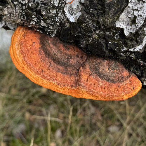

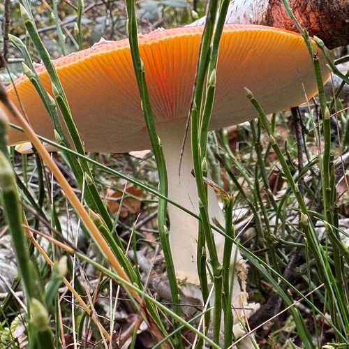
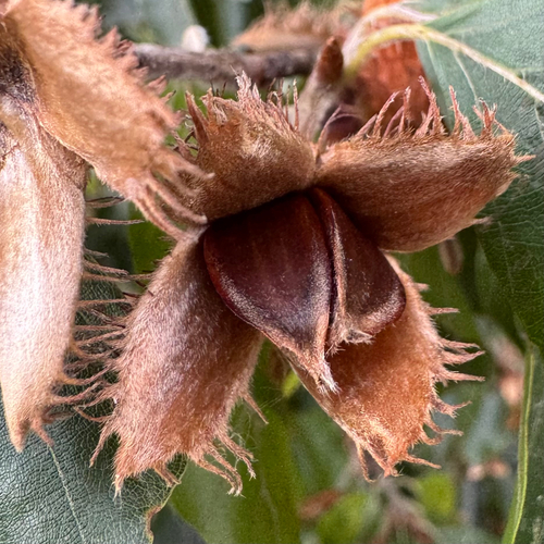

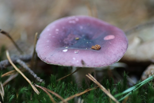



Research-grade observations from iNaturalist (within ~15 mi).
Events
Notable, recurring, and historical events associated with Arnhem, sourced from Wikidata.
- Q4450217annual event
- Arnhem Mode Biënnalerecurring event
Source: Wikidata (CC0).
Gallery
Official Identifiers
CBS — Statistics Netherlands
- CBS code
- 0202
- Population (Wikidata)
- 164,096
- Wikidata
- Q1310
Gemeente codes via Wikidata P382
Sources
- • Wikipedia
- • Wikidata
- • USGS Earthquake Catalog (global feed)
- • GBIF (Global Biodiversity Information Facility)
- • iNaturalist
- • CBS — Statistics Netherlands, municipality code via Wikidata P382
- • CBS — Statistics Netherlands — Gemeente codes via Wikidata P382