Browse / Netherlands / North Brabant / Asten
Asten
North Brabanttown

Featured view
Asten
Total population
13,214
Coordinates51.40°, 5.75°
Demographic figures from CBS Netherlands. Overview below cites Wikipedia and may reference a different year.
Loading additional data from public sources…0 / 11
CensusWikipediaWeatherPlacesPeopleEnvironmentHealth & SchoolsRelatedGeography & CultureLive MonitoringEvents & Gallery
0% completeCity facts
Overview
Asten is a municipality and a town in southern Netherlands.
Read more on WikipediaHistory & geography
Geography
Latitude
51.4041
Longitude
5.7459
Water area
—
Coordinates & boundaries from the US Census TIGER/Line shapefiles.
Climate
Air quality
Walkability
Amenities nearby
Wildlife & biodiversity
Earthquake history
Photos
Sights & places nearby
Notable people from here
E
Emily Noor
Dutch table tennis player
A
Antonius Lambertus Maria Hurkmans
Dutch theologian and priest
B
Bart Claessen
Dutch DJ

Piet Raijmakers
equestrian
C
Cor Mutsers
A
Arnoldus van Bussel
politician (1786-1860)
R
Ricus van de Coevering
Dutch writer

Paul Elshout
Dutch painter (1949-2018)
S
Sandra Swinkels
Dutch football player

Nancy Coolen
Dutch singer and television presenter

Renée Slegers
Dutch association football manager (born 1989)
F
Frans Hoebens
Dutch politician (1914-1977)
G
Gerrit van Riet
politician
M
Marie-José de Groot
Dutch rower

Gerard Peijnenburg
Dutch civil servant and politician (1919–2000)

Ton Heijligers
Dutch actor
People born within ~10 km, from Wikidata (CC0). Click any name for their Wikipedia article.
Nearby places in North Brabant
- Ommel1.3 mi away · pop. 1,079
- Heusden1.6 mi away · pop. 2,421
- Liessel3.3 mi away · pop. 3,242
- Someren-Heide4.3 mi away · pop. 1,380
- Neerkant5.7 mi away · pop. 1,860
- Sterksel6.8 mi away · pop. 1,540
- Milheeze7 mi away · pop. 2,173
- Helenaveen7.5 mi away · pop. 962
- De Mortel9.5 mi away · pop. 1,575
- Gerwen9.8 mi away · pop. 2,080
- Leenderstrijp10 mi away · pop. 480
- Soerendonk10.2 mi away · pop. 1,773
Geography & sun
Avg solar (kWh/m²/day)
3.03
Annual solar (kWh/m²)
1,104
Elevation, sunrise/sunset and daylight from Open-Meteo. Solar climatology from NASA POWER.
Nearby airports
Public attention
Wikipedia views (last 30 days)
2
Avg daily Wikipedia views
0
Attention level
Obscure
Pageview totals from the Wikimedia Pageviews API.
Books about this place
Recent natural events nearby
Ground air-quality sensors
Recently spotted species
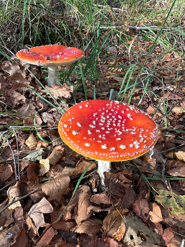
Fly Agaric
Amanita muscaria
Seen 2026-10-02
Black-winged Kite
Elanus caeruleus
Seen 2026-09-28
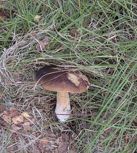
King Bolete
Boletus edulis
Seen 2026-09-28
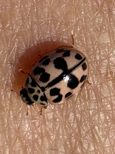
Poplar Ladybird Beetle
Oenopia conglobata
Seen 2026-09-27
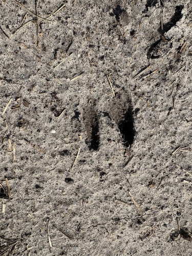
Western Roe Deer
Capreolus capreolus
Seen 2026-09-27
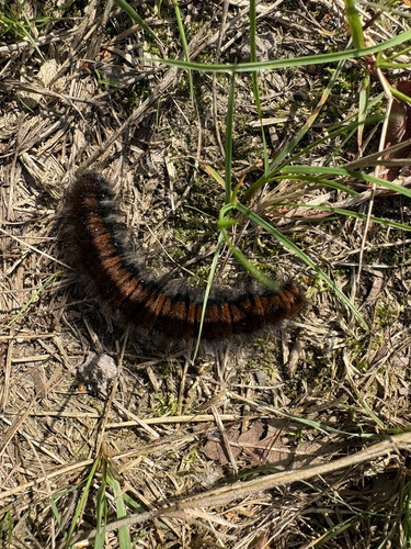
Fox Moth
Macrothylacia rubi
Seen 2026-09-27
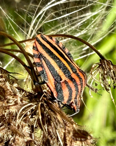
European Striped Shield Bug
Graphosoma italicum
Seen 2026-09-26
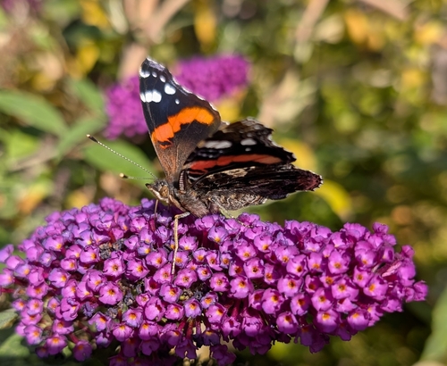
Red Admiral
Vanessa atalanta
Seen 2026-09-26
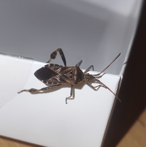
Western Conifer Seed Bug
Leptoglossus occidentalis
Seen 2026-09-25
Research-grade observations from iNaturalist (within ~15 mi).
Events
Gallery
Official Identifiers
CBS — Statistics Netherlands
- CBS code
- 0743
- Population (Wikidata)
- 16,817
- Wikidata
- Q9810
Gemeente codes via Wikidata P382
Sources
- • Wikipedia
- • Wikidata
- • iNaturalist
- • Open-Meteo / sunrise-sunset.org
- • Wikipedia Pageviews API
- • CBS — Statistics Netherlands, municipality code via Wikidata P382
- • CBS — Statistics Netherlands — Gemeente codes via Wikidata P382