Browse / Netherlands / North Holland / Bennebroek
Bennebroek
North Hollandvillage

Bennebroek
Total population
5,135
Founded
1817
Demographic figures from CBS Netherlands. Overview below cites Wikipedia and may reference a different year.
City facts
Facts from Wikidata (CC0).
Overview
Bennebroek is a village and former municipality in the northwest Netherlands, now part of Bloemendaal, North Holland. Before its merger in 2009, it was the smallest municipality in the Netherlands, covering an area of only 1.75 km².
Read more on WikipediaHistory & geography
History
Bennebroek was probably formed in the 13th century and its development was closely linked to the peat harvesting industry. On 28 May 1653, Bennebroek split off from the Heemstede fiefdom and Adriaen Pauw, son of Adriaan Pauw, became its first feudal lord. Its population was dependent on animal husbandry and transportation. Later bulb flower cultivation became an important business. Since the second half of the 20th century, Bennebroek has primarily been a commuter community for the surrounding cities. * VVD: 4 seats * CDA: 4 seats * PvdA: 3 seats
Excerpted from the corresponding Wikipedia article (CC BY-SA).
Geography
Coordinates & boundaries from the US Census TIGER/Line shapefiles.
Climate
Air quality
Walkability
Amenities nearby
Wildlife & biodiversity
Earthquake history
Photos
Sights & places nearby
Notable people from here


People born within ~10 km, from Wikidata (CC0). Click any name for their Wikipedia article.
Nearby places in North Holland
- Vogelenzang0.8 mi away · pop. 2,220
- Zwaanshoek1.3 mi away · pop. 1,990
- Cruquius2.1 mi away · pop. 1,033
- Heemstede2.4 mi away · pop. 26,936
- Beinsdorp2.5 mi away · pop. 987
- Aerdenhout2.8 mi away · pop. 4,610
- Bentveld3.2 mi away · pop. 985
- Vijfhuizen4.1 mi away · pop. 4,868
- Nieuw-Vennep4.3 mi away · pop. 31,514
- Hoofddorp4.3 mi away · pop. 76,638
- Zandvoort4.3 mi away · pop. 15,900
- Lisserbroek4.6 mi away · pop. 3,421
Geography & sun
Elevation, sunrise/sunset and daylight from Open-Meteo. Solar climatology from NASA POWER.
Nearby airports
Public attention
Pageview totals from the Wikimedia Pageviews API.
Books about this place
Recent natural events nearby
Ground air-quality sensors
Recently spotted species
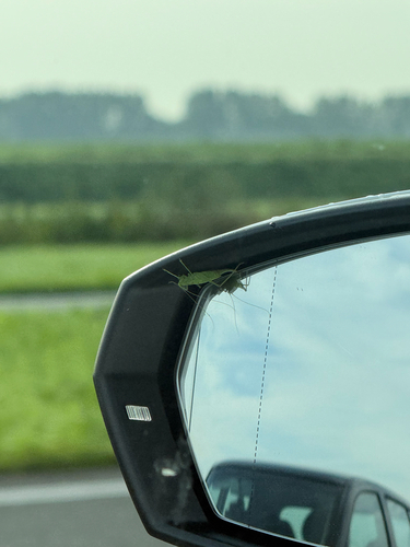
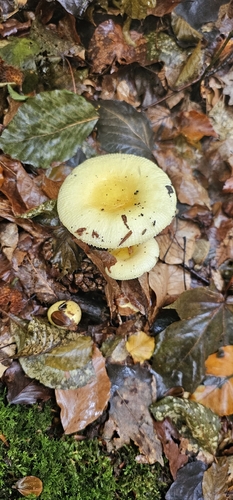
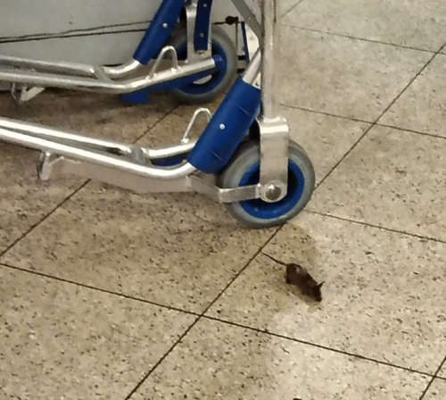
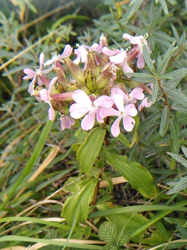
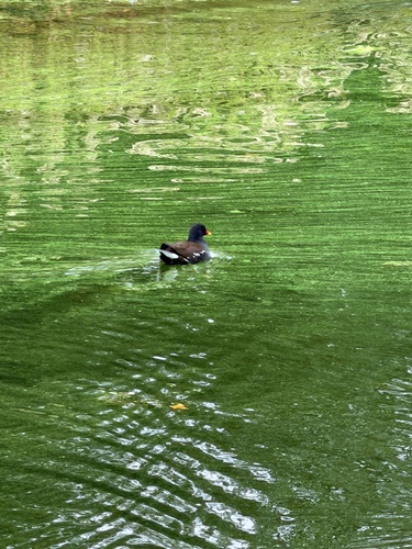
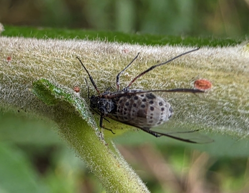
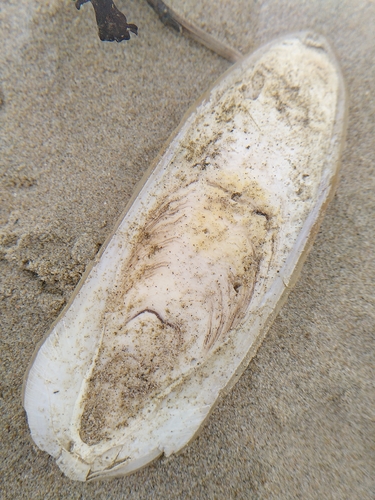
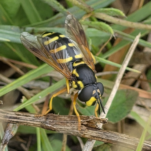
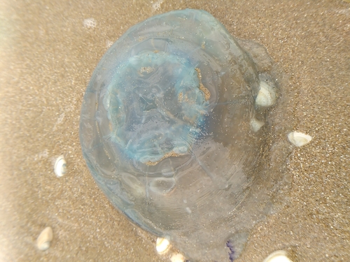
Research-grade observations from iNaturalist (within ~15 mi).
Events
Gallery
Geotagged photos within ~6 miles of Bennebroek, from Wikimedia Commons contributors.
 0.3 mi
 0.3 mi
 0.3 mi
 0.3 mi
 0.4 mi
 0.4 mi
 0.5 mi
 0.5 mi
 0.5 mi
 0.5 mi
 0.5 mi
 0.5 mi
 0.5 mi
 0.5 mi
 0.5 mi
 0.6 mi
 0.6 mi
 0.6 mi
 0.6 mi
 0.6 mi
 0.8 mi
 0.8 mi
 0.8 mi
 0.8 mi
Photos via Wikimedia Commons — see each image page for license & attribution.
Official Identifiers
CBS — Statistics Netherlands
- CBS code
- 0372
- Population (Wikidata)
- 426
- Wikidata
- Q817840
Gemeente codes via Wikidata P382
Sources
- • Wikipedia
- • Wikimedia Commons
- • Wikidata
- • iNaturalist
- • Open-Meteo / sunrise-sunset.org
- • Wikipedia Pageviews API
- • CBS — Statistics Netherlands, municipality code via Wikidata P382
- • CBS — Statistics Netherlands — Gemeente codes via Wikidata P382