Browse / Netherlands / South Holland / Bleskensgraaf
Bleskensgraaf
South Hollandvillage

Bleskensgraaf
Total population
2,876
Demographic figures from CBS Netherlands. Overview below cites Wikipedia and may reference a different year.
City facts
Facts from Wikidata (CC0).
Overview
Bleskensgraaf is a town in the Dutch province of South Holland. It is a part of the municipality of Molenlanden, and lies about 10 km northeast of Dordrecht. It has an area of 1272 hectares. On 1 January 2009 Bleskensgraaf and Hofwegen had 2797 inhabitants in 936 residences.
Read more on WikipediaHistory & geography
Geography
Coordinates & boundaries from the US Census TIGER/Line shapefiles.
Climate
Air quality
Walkability
Amenities nearby
Wildlife & biodiversity
Earthquake history
Photos
Sights & places nearby
Notable people from here


People born within ~10 km, from Wikidata (CC0). Click any name for their Wikipedia article.
Nearby places in South Holland
- Brandwijk1.8 mi away · pop. 1,291
- Molenaarsgraaf2 mi away · pop. 1,160
- Wijngaarden2.1 mi away · pop. 705
- Streefkerk2.6 mi away · pop. 2,481
- Sliedrecht3.3 mi away · pop. 25,010
- Ottoland3.5 mi away · pop. 983
- Oud-Alblas3.5 mi away · pop. 2,205
- Hardinxveld-Giessendam3.9 mi away · pop. 17,872
- Ammerstol4 mi away · pop. 1,655
- Groot-Ammers4 mi away · pop. 4,208
- Giessen-Oudekerk4.1 mi away · pop. 815
- Bergambacht4.1 mi away · pop. 6,910
Geography & sun
Nearby airports
Public attention
Books about this place
Recent natural events nearby
Ground air-quality sensors
Recently spotted species
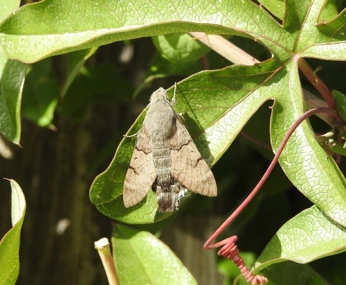
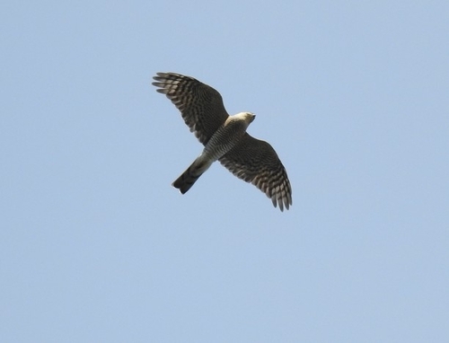
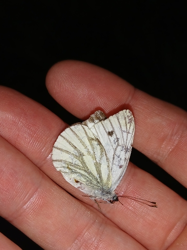

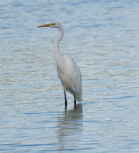
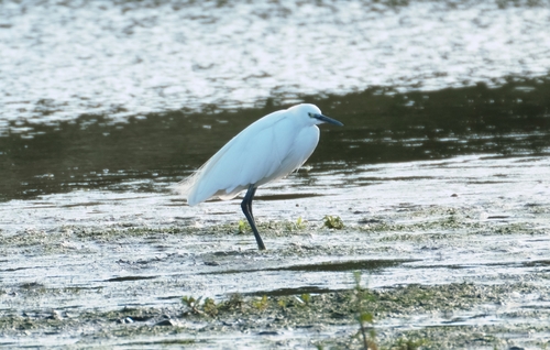
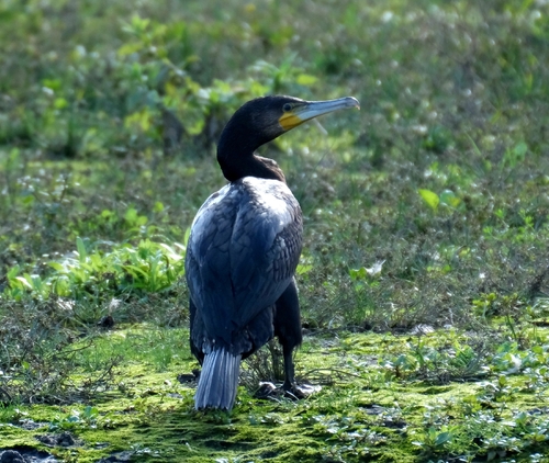
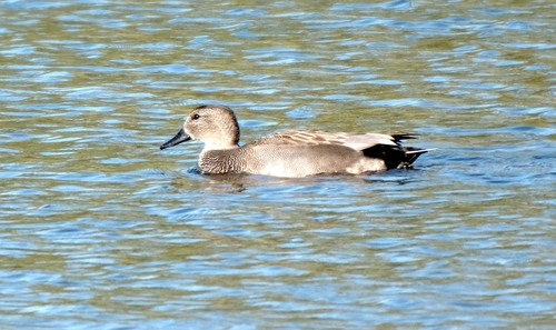
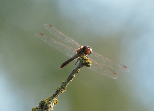
Research-grade observations from iNaturalist (within ~15 mi).
Events
Gallery
Official Identifiers
CBS — Statistics Netherlands
- CBS code
- 1262
- Population (Wikidata)
- 543
- Wikidata
- Q2109338
Gemeente codes via Wikidata P382
Sources
- • Wikipedia
- • Wikidata
- • iNaturalist
- • CBS — Statistics Netherlands, municipality code via Wikidata P382
- • CBS — Statistics Netherlands — Gemeente codes via Wikidata P382